
MACS

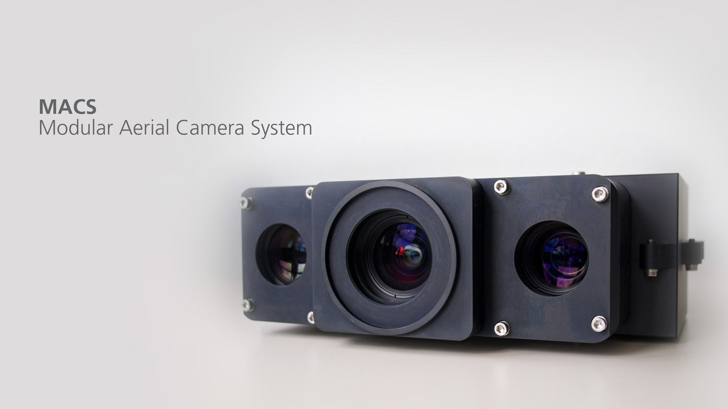
MACS
DLR develops, verifies and tests innovative remote sensing systems. The image data obtained with these sensors are processed automatically in order to provide highly accurate true orthophoto mosaics and surface models. These mosaics and models are the basis for applications such as real-time extraction of objects, automated 3D reconstruction for geospecific simulation worlds or semantic geoinformation for urban applications.