TanDEM-X

A New High Resolution Interferometric SAR Mission

TanDEM-X

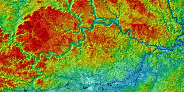
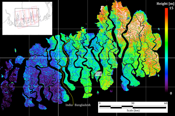
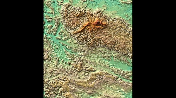
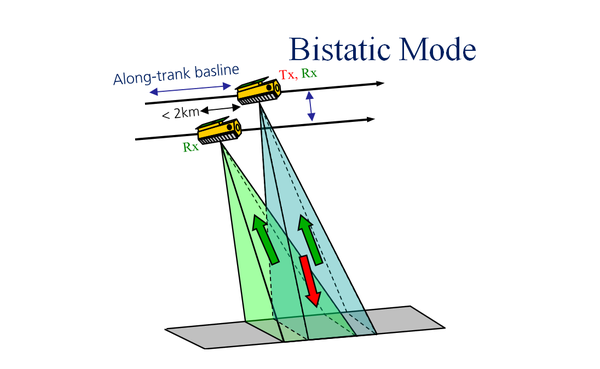
The objective of the TanDEM-X mission (TerraSAR-X add-on for Digital Elevation Measurement) is to produce a highly accurate, three-dimensional image of our Earth with uniform quality and unprecedented accuracy. For this purpose, two almost identical satellites orbit the earth at an altitude of around 500 kilometres and scan the surface with radar equipment. The first of the two satellites, TerraSAR-X, has been operating successfully in space since 2007. Since 2010, it has been followed by the almost identical satellite TanDEM-X. Both fly only a few hundred metres apart in close formation, thus enabling the simultaneous imaging of the terrain from different angles. From this, precise elevation information is derived in a 12-metre grid and with a vertical accuracy of better than two metres.

TanDEM-X News

Loading