DLR provides satellite data for Hurricane Harvey


- German Aerospace Center (DLR) provides real-time recordings and archive data of the German radar satellite TerraSAR-X.
- DLR supports hurricane disaster management in Texas, USA.
- Focus: Space, climate change, disaster and disaster management, Earth observation
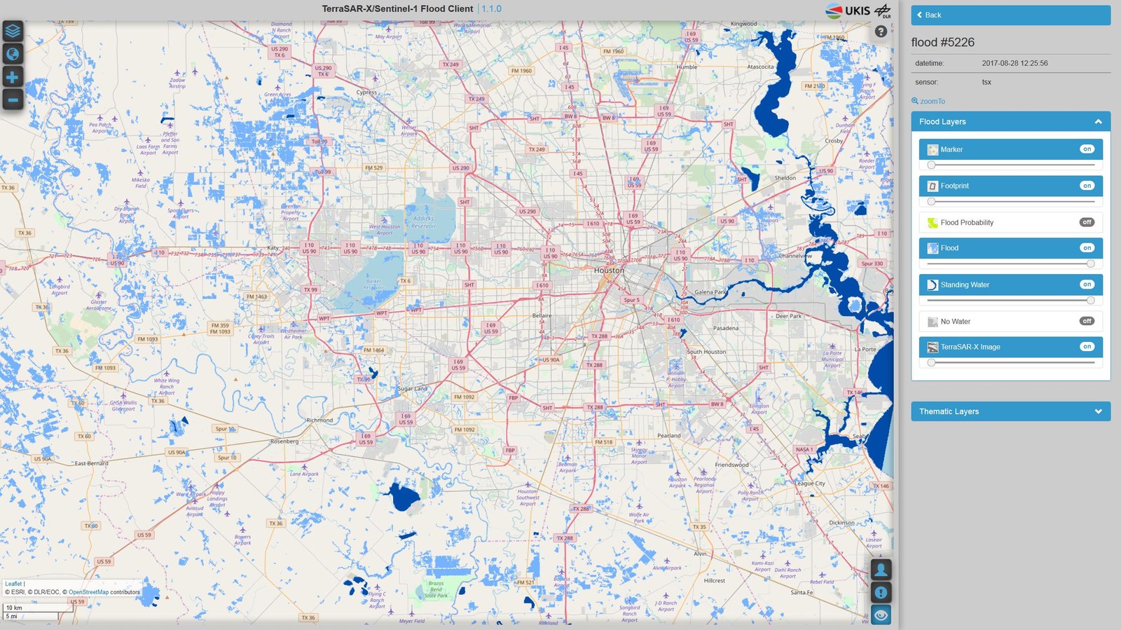
In anticipation of the catastrophic hurricane Harvey, the International Charter 'Space and Major Disasters'was activated early on the evening of 24 August 2017. This was initiated by the Charter member United States Geological Survey (USGS) on behalf of the Texas Emergency Management Council. The German Aerospace Center (Deutsches Zentrum für Luft- und Raumfahrt; DLR) provided real-time recordings and archive data from the German radar satellite TerraSAR-X, which enabled a detailed analysis and an overview of the flood situation. Using these and other satellite data provided by 16 Charter members, the Center for Space Research at the University of Texas is currently working on providing assistance and information to disaster relief personnel on the ground.
"The various recording modes of the German radar satellite TerraSAR-X make it possible to react very flexibly to individual crisis situations," explains André Twele, who, as an Emergency On-Call Officer (ECO) of the Charter at DLR, was tasked with preparing an acquisition plan using available satellite resources in the first hours of activation. "The challenge herein lies in determining possible disaster areas as early as possible from the initially still rough forecast of the hurricane's path to be able to plan the satellite recordings effectively."
Through the clouds with radar
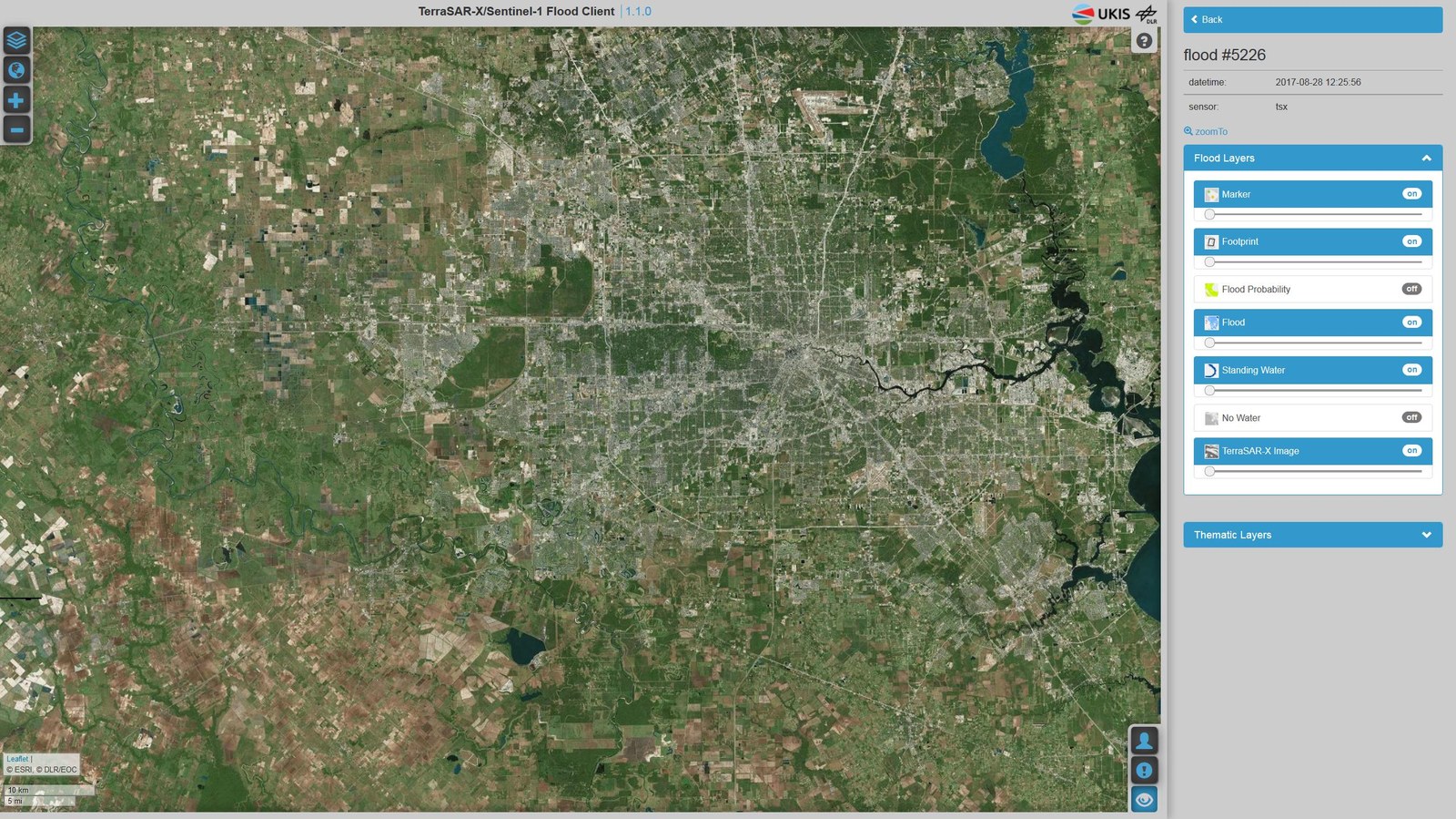
DLR's To the Institute's websitedelivered the data acquired by the satellite as quickly as possible. The particularly wide swath mode of the TerraSAR-X recordings made it possible to precisely depict the extent of the catastrophe shortly after the hurricane made landfall. A decisive advantage is the weather-independent nature of radar imaging. While optical satellites are limited to imaging cloud surfaces on an overcast day, the radar instrument on the German satellite is able to penetrate cloud cover to 'scan' the surface and receive the reflected ‘echo’. Radar satellites are the first choice in large-scale flood disasters, because the backscattered signal from water bodies stands out from non-flooded surfaces.
The Charter allows its Authorised Users (AU) – usually national disaster management authorities – to activate the Charter already in anticipation of an imminent emergency. This was the case here. “Therefore, we were able to program our satellites at an early stage so that the images could be taken shortly after the hurricane made landfall," explains Jens Danzeglocke from the DLR Space Administration, who coordinates the Charter activities in Germany.
The flood maps derived from the satellite data help to coordinate emergency procedures, for example to identify particularly affected areas, assess damage to infrastructure and traffic routes, or plan evacuation centres.
About the International Charter 'Space and Major Disasters'
DLR’s membership in the Charter is carried out by the DLR Space Administration and the DLR Earth Observation Center (EOC). The International Charter ‘Space and Major Disasters’ is comprised of space agencies and satellite operators with the aim of providing a uniform system for the quick acquisition and delivery of satellite data in the event of a disaster. The members of the Charter thus make free satellite data available to authorised users in the event of a disaster, usually disaster management and civil protection organisations, in support of assistance measures in case of major technical or natural catastrophes. The Charter data will be used by the Authorised Users directly or will be analysed by associated Value Adders, like the Centre for Satellite Based Crisis Information (ZKI). The results are provided to the Authorised Users, requesting authorities and also to the public.