The HEIMDALL project is developing a digital tool that first responder organisations can use to assess situations and create plans for deployment.
To do this, it collects information about forest fires, landslides, floods and flash flooding.
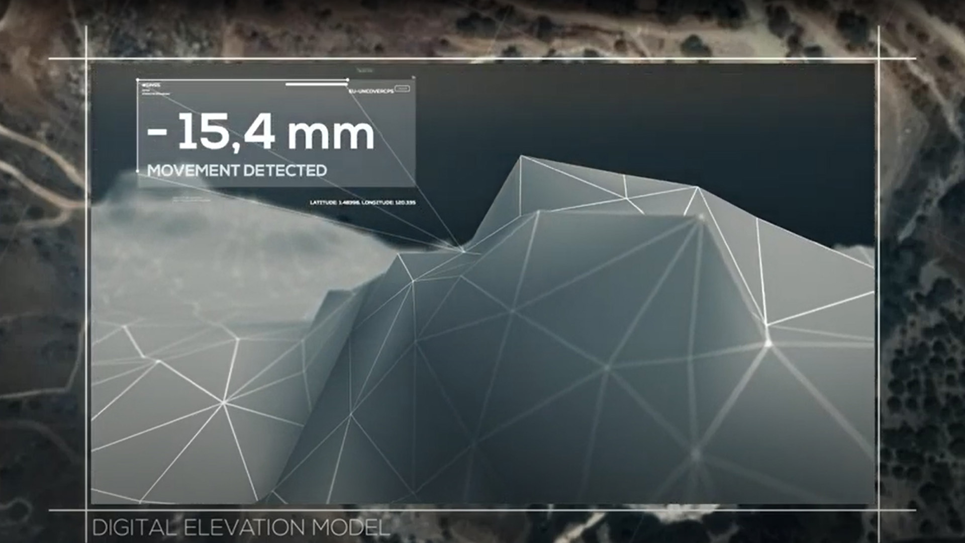
Satellite data and forecasting of further developments have helped authorities and institutions make decisions about countermeasures.
Focus: Security, digitalisation, disaster relief
In the event of a forest fire, flash flooding or a landslide, how can firefighters and rescue workers get to the disaster site as quickly as possible? What measures need to be taken? What lessons can be learned from past disasters? The HEIMDALL project provides answers via a digital platform that collects all of this information. At the virtual final presentation of the project, the benefits that it can offer were demonstrated, for example in the event of a forest fire. The German Aerospace Center (Deutsches Zentrum für Luft- und Raumfahrt; DLR) Institute of Communications and Navigation has coordinated the international project, while the Earth Observation Center (EOC) at DLR processed the satellite data.
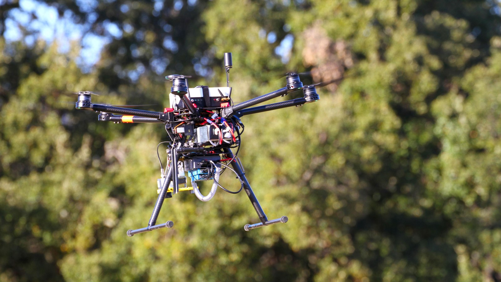
Smoke rises from an area of forest near the Spanish city of Girona. It is not a real fire, but a simulation that illustrates the capabilities of the HEIMDALL platform. Firefighters can mark out the extent of the suspected fire on a screen. A swam of drones is deployed, its flight path determined by an algorithm. This not only enables a view of the fire from above, but also provides detailed information about the build-up of heat. This can be used to pinpoint the hotspots of the fire, which can start new fires and pose a threat to firefighters. The system is able to detect hotspots that measure just 15 centimetres across. Weather data are also fed into the analysis, along with empirical values from past catastrophic fires. This allows those involved to quickly devise a strategy for fighting the fire.
"Improving responsiveness will ultimately save lives"
"The HEIMDALL platform helps first responders and authorities to deal with various situations," says Tomaso de Cola, Project Manager at the DLR Institute of Communications and Navigation in Oberpfaffenhofen. "Improving responsiveness and optimising reaction times will ultimately save lives."
The HEIMDALL project provides tools for emergency management.
The HEIMDALL project
Your consent to the storage of data ('cookies') is required for the playback of this video on Youtube.com. You can view and change your current data storage settings at any time under privacy.
The HEIMDALL project
The HEIMDALL project provides tools for emergency management.
Satellite data play a major role in disaster management. They provide location-based information and allow responders to assess emergency situations more effectively. With that in mind, DLR compiles situational information and risk assessments, which may show, for example, how trapped persons might be reached. The satellite data are recorded, analysed and processed within a short space of time. Alongside this, the archive provides information about the course of previous disasters.
The HEIMDALL platform can be used not only in the event of fires, but also in cases of flooding, flash floods and landslides; this was explained at the final presentation in Spain. The platform facilitates cooperation between different authorities and institutions. Those involved can exchange information, look at disaster scenarios from the past and obtain information to aid decision-making. Cross-border cooperation is also possible. Information and images from firefighters and other rescue personnel on site can be integrated into the situational overview immediately using a dedicated app. Warning the local population is another aspect of the platform. "The HEIMDALL platform can contribute to a better joint emergency response," says Tomaso de Cola.
A risk management tool
The HEIMDALL project (Multi-Hazard Cooperative Management Tool for Data Exchange, Response Planning and Scenario Building) was funded by the European Union Horizon 2020 programme. Involving international partners, the project began in spring 2017. Experiments with a swarm of drones carried out in March 2019 in Spain helped to advance the project. The results of the project were evaluated by an EU Commission committee and now provide the basis for further development.


