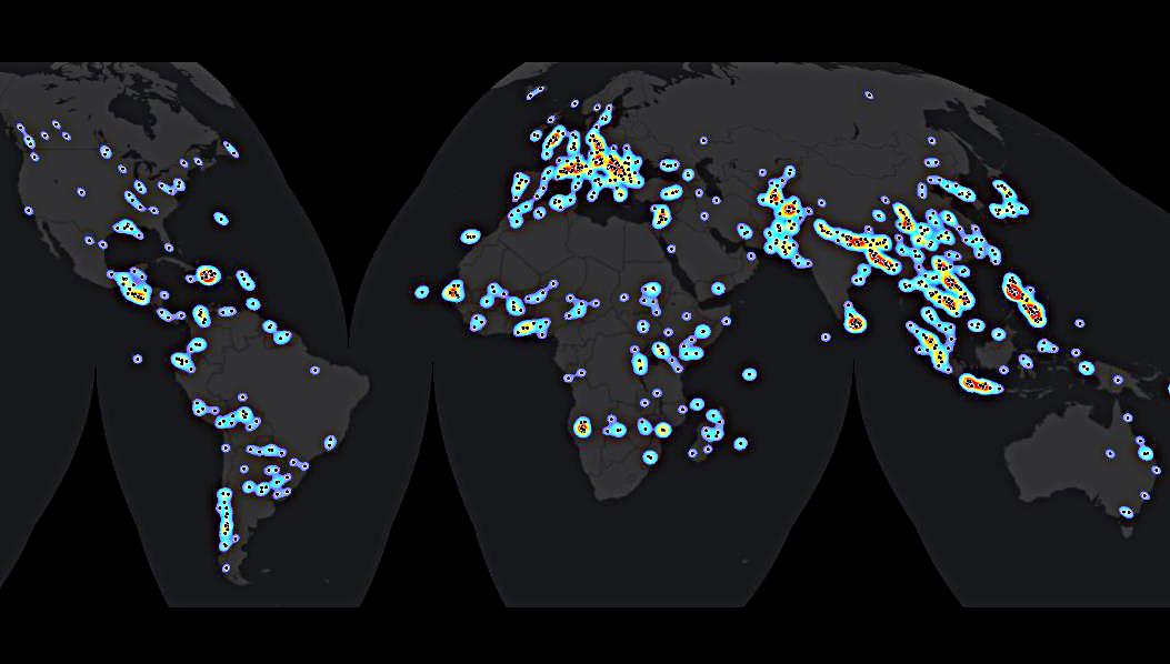
Global satellite-based emergency mapping
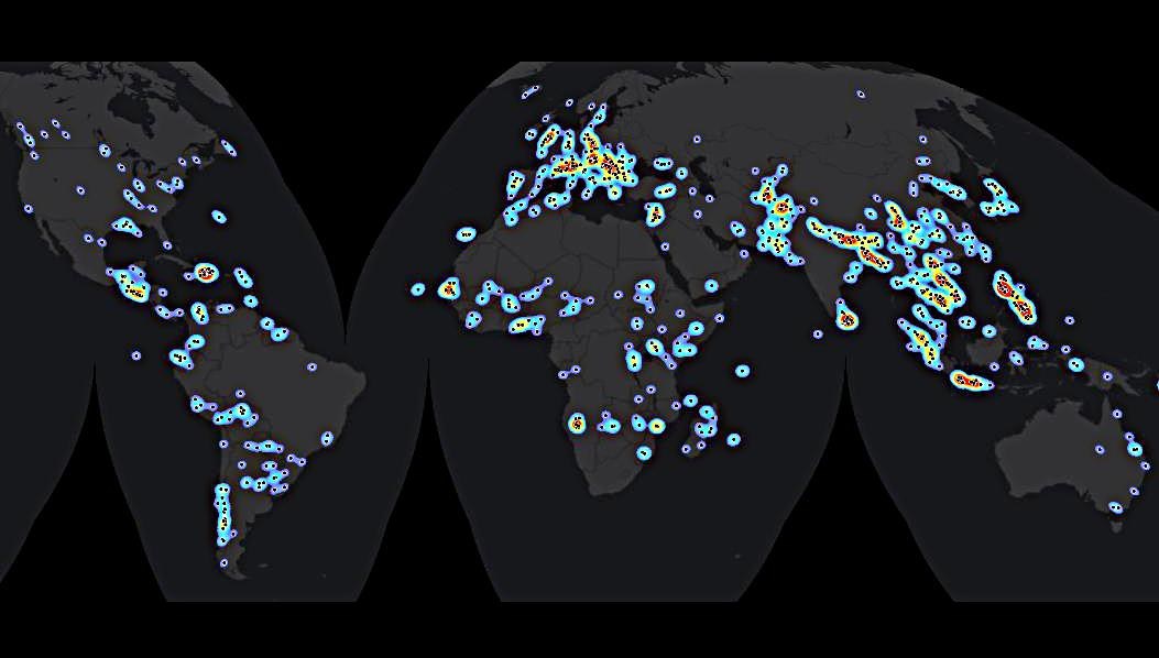

Global satellite-based emergency mapping
The graph shows the global distribution and density of satellite-based emergency mapping of a total of 804 georeferenced points or
locations from 2000-2014. The distribution is represented by colours - low
density (blue) to high density (red).