Iceland: Infamous volcanoes

Iceland: Infamous volcanoes
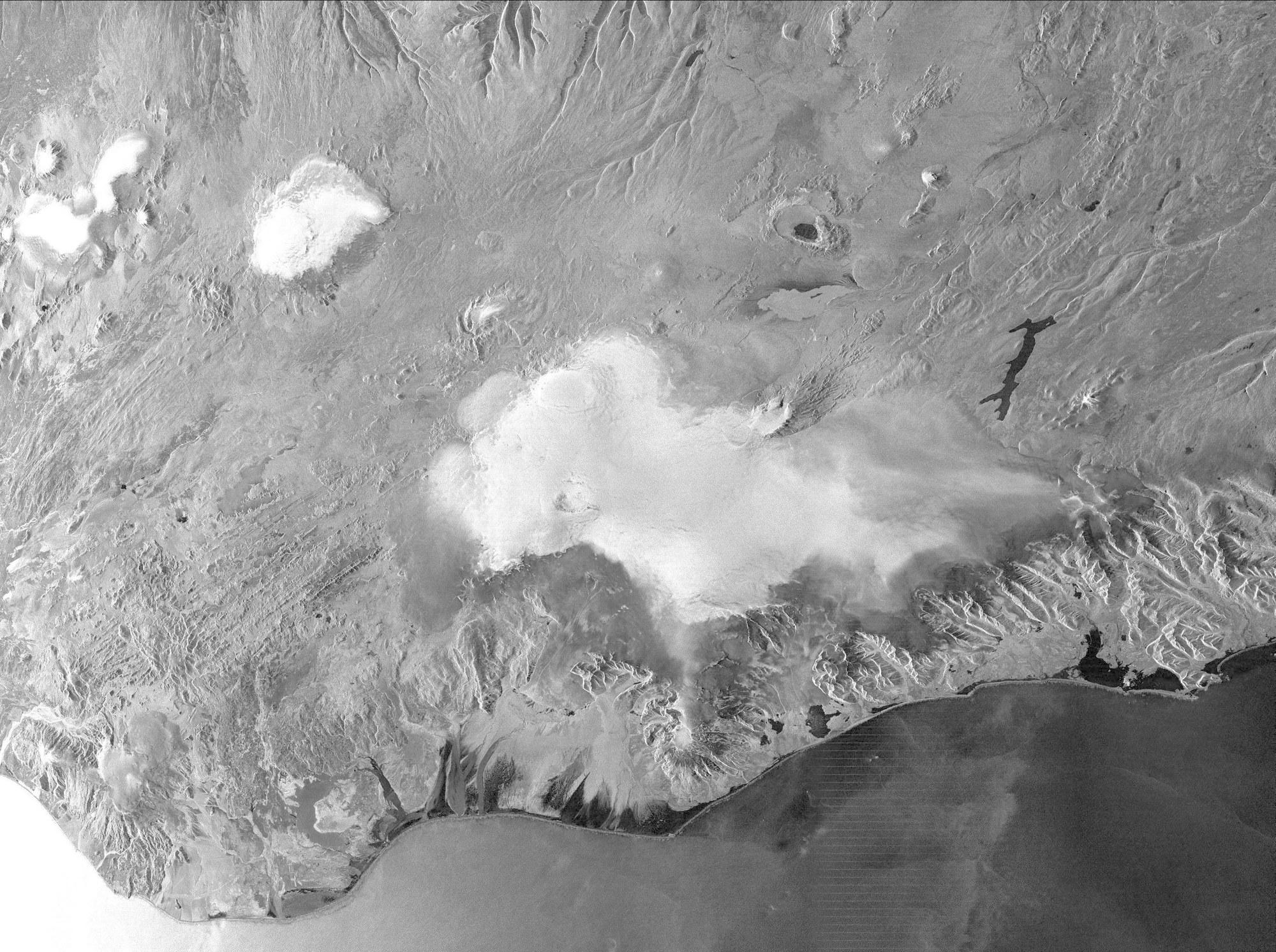
Volcanic region on the south coast of Iceland: The TerraSAR-X image was acquired on 25 November 2014, a few weeks after the eruption of the Bardarbunga subglacial volcano (circle 2). The traces of volcanic activity are clearly visible – a large lava field below the Askja volcano (circle 3). Another ‘infamous’ glacier volcano is located further west on the coast (circle 1): The eruption of the Eyjafjallajökull in April 2010 and its subsequent ash cloud brought the air traffic across Europe to a standstill for days. The radar image captures the South coast of Iceland in about 260 by 210 kilometres. For this purpose, the ‘Wide ScanSAR’ mode was used. It is the latest of a total of five capture modes of TerraSAR-X and allows the imaging of extremely large areas.