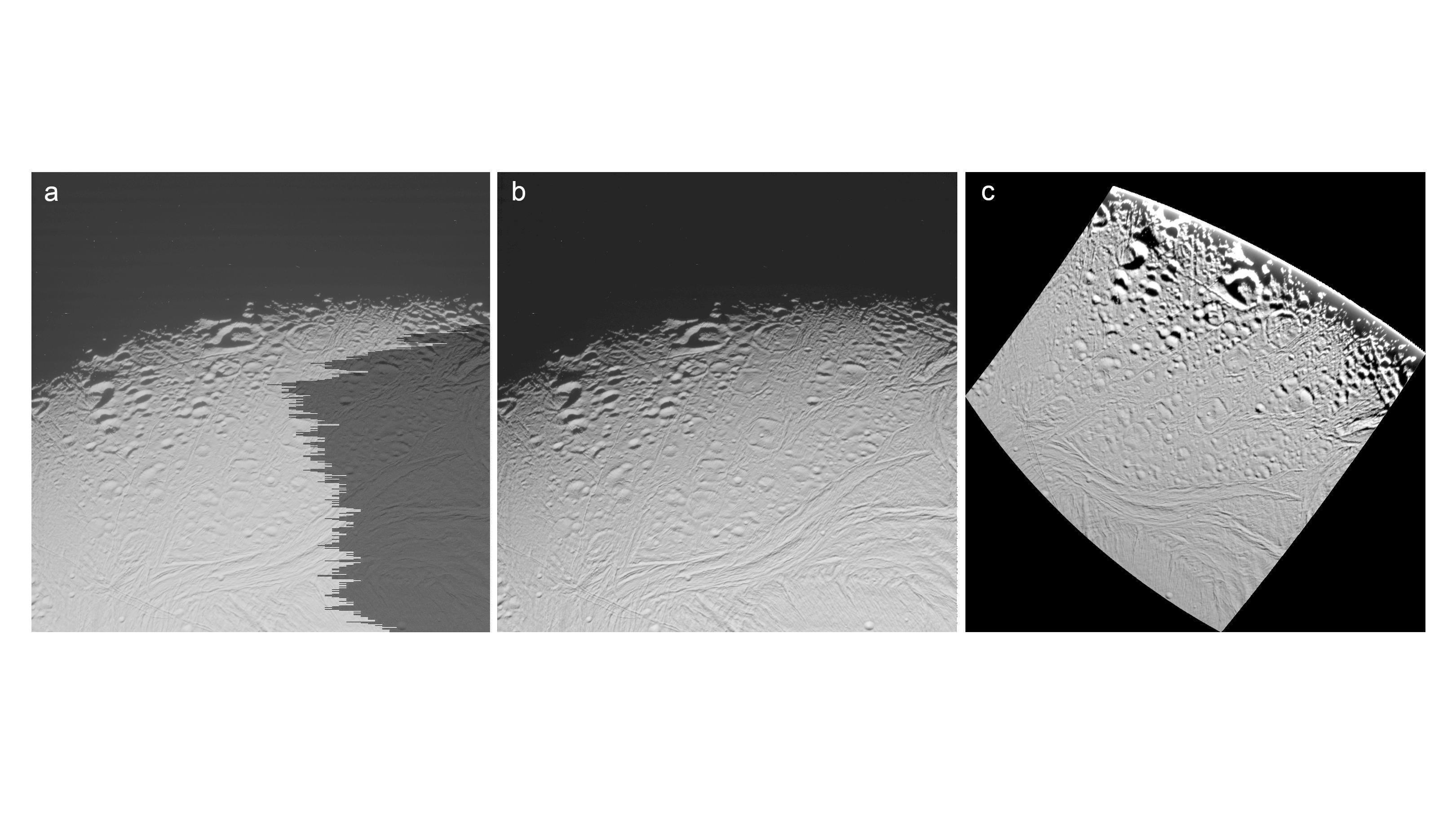
From raw data to projected map image
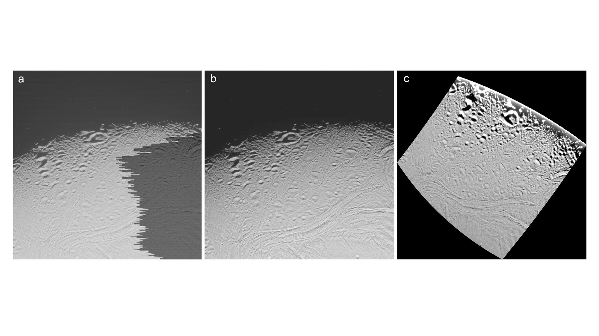

From raw data to projected map image
Images arriving on Earth are not only lacking a spatial reference, it is also possible that they contain export errors or other image errors (left image in the figure). Other corrective steps are completed once these errors have been ironed out: radiometric calibration (centre) is used to remove sensor errors – background noise – in the digital data, along with deviations produced by radiation influences.
The final stage involves a geometric correction of the images to ensure that all objects are shown correctly relative to the surface and each other and that there is no offset from the edge of one image to the next. The images are then converted into the chosen map projection (right) and fitted together to produce a global mosaic.