Topographical overview map of the vicinity of the Korolev Crater


Topographical overview map of the vicinity of the Korolev Crater
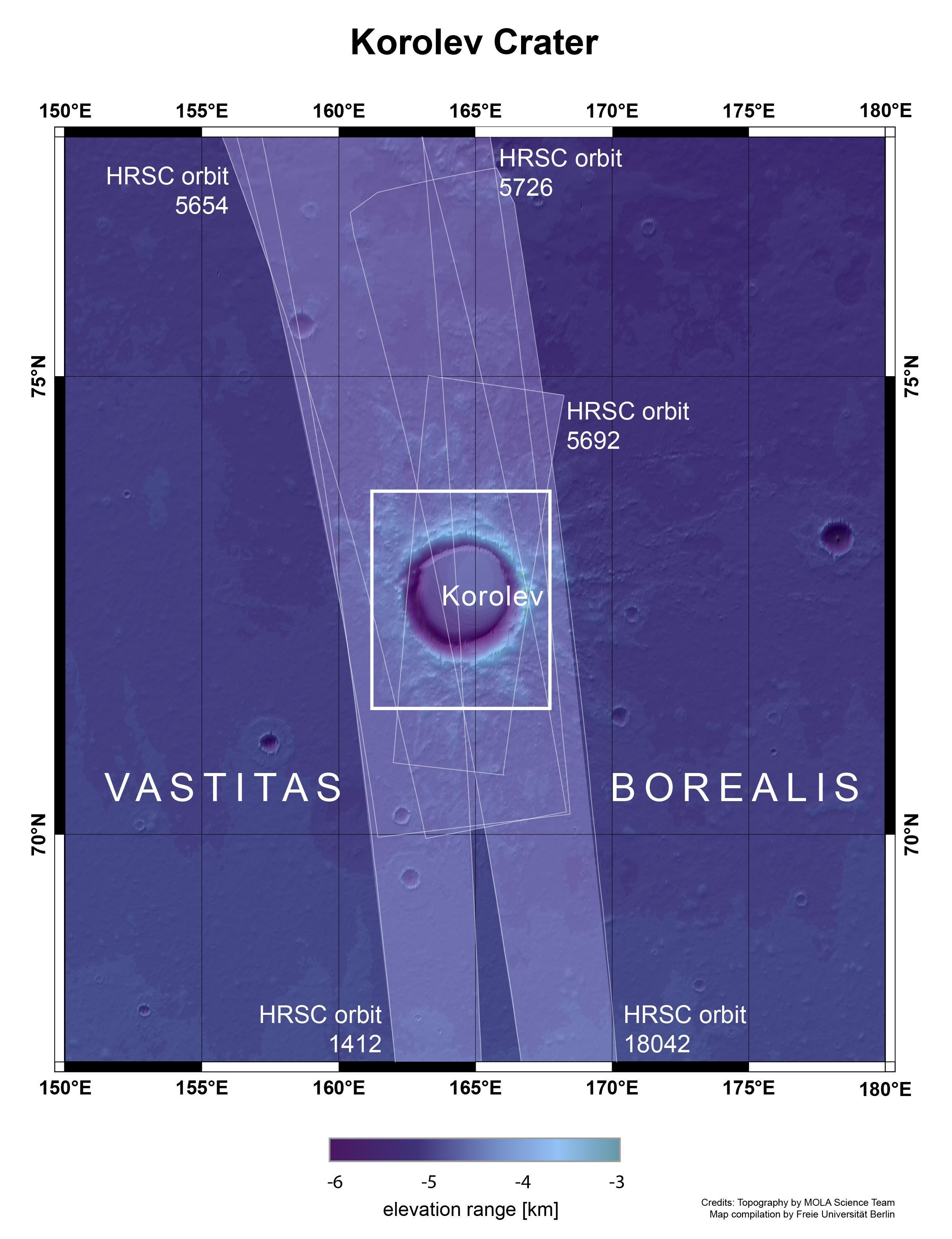
Topographical overview map of the vicinity of the Korolev Crater: Almost the entire northern hemisphere of Mars is occupied by the lowlands, which fall away towards the north pole, before rising to the polar cap, measuring 1000 kilometres across, at the northernmost point of Mars, with a 2000-metre-thick ice cap. During the roughly 350-day polar night, over a quarter of the carbon dioxide in the thin Martian atmosphere sublimates, causing the polar cap to grow south, extending to 68 degrees North. This region is also home to the 82-kilometre-wide Korolev Crater, which was flown over by the ESA’s Mars Express orbiter several times over the last year, capturing images with its DLR-operated HRSC camera system. The data from five HRSC image strips have been used to create an image mosaic and a digital elevation model. There is a permanent ice field inside Korolev Crater.