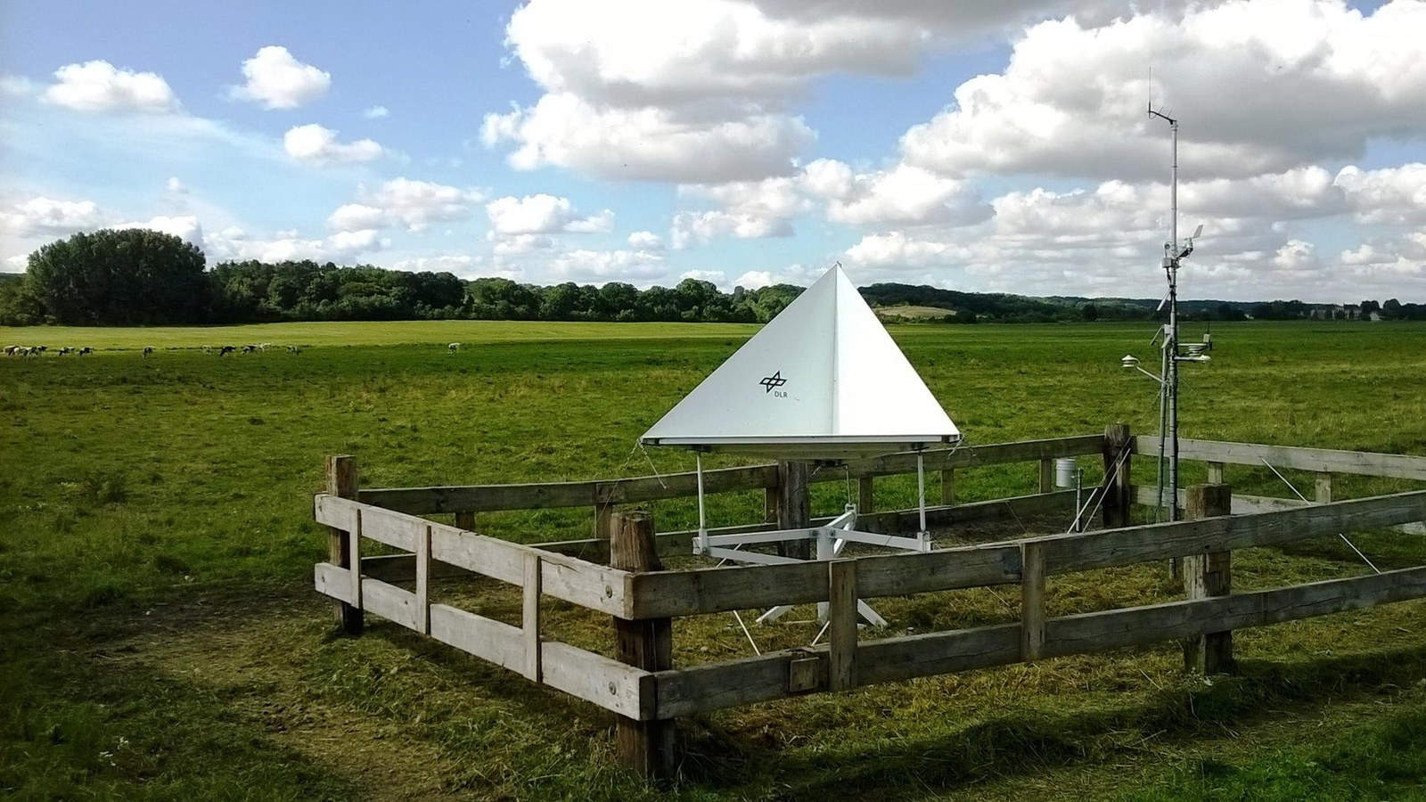
DEMMIN – Durable Environmental Multidisciplinary Monitoring Information Network


The Durable Environmental Multidisciplinary Monitoring Information Network (DEMMIN) is designed to provide in situ data (environmental data) for the development and validation of remote sensing algorithms and processes, among other things.
Calibration and validation facility
This large-scale facility, belonging to the German Aerospace Center (Deutsches Zentrum für Luft- und Raumfahrt; DLR), features environmental measuring stations and a high degree of automation in data acquisition. Consequently, it is an essential element in the validation of remote sensing processes, data and products.
As part of existing collaborations with farmers in the Demmin region of Germany's Mecklenburgische Seenplatte district, the facility has enabled the development of a geographic information system (GIS) database; this tool can be used to validate national and international measuring campaigns and provide practical training for colleges and universities.
