TD-X – MCP


The Mosaicking and Calibration Processor (MCP) is at the end of the Earth Observation Center (EOC) ground segment production chain; it is part of the German Aerospace Center (Deutsches Zentrum für Luft- und Raumfahrt; DLR) German Remote Sensing Data Center (DFD) in Oberpfaffenhofen. The facility produces the final digital elevation model (DEM) in the TanDEM-X mission.
Processing of TanDEM-X mission data
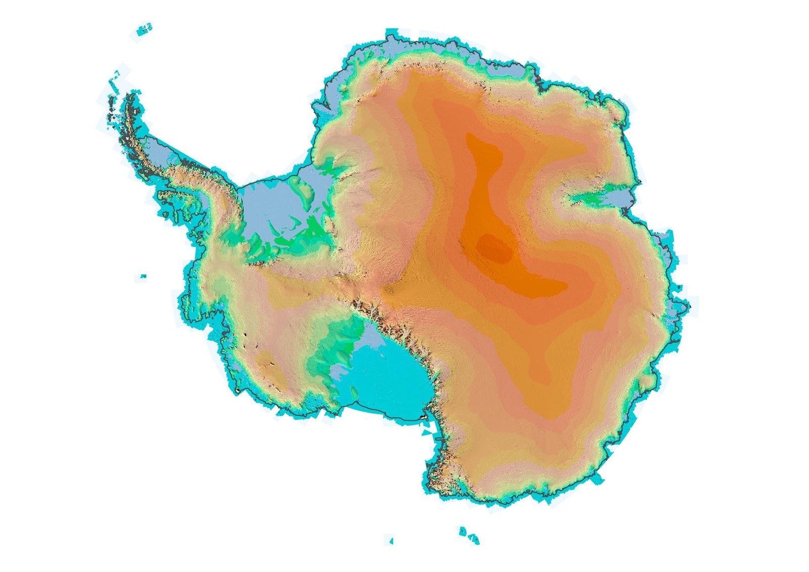
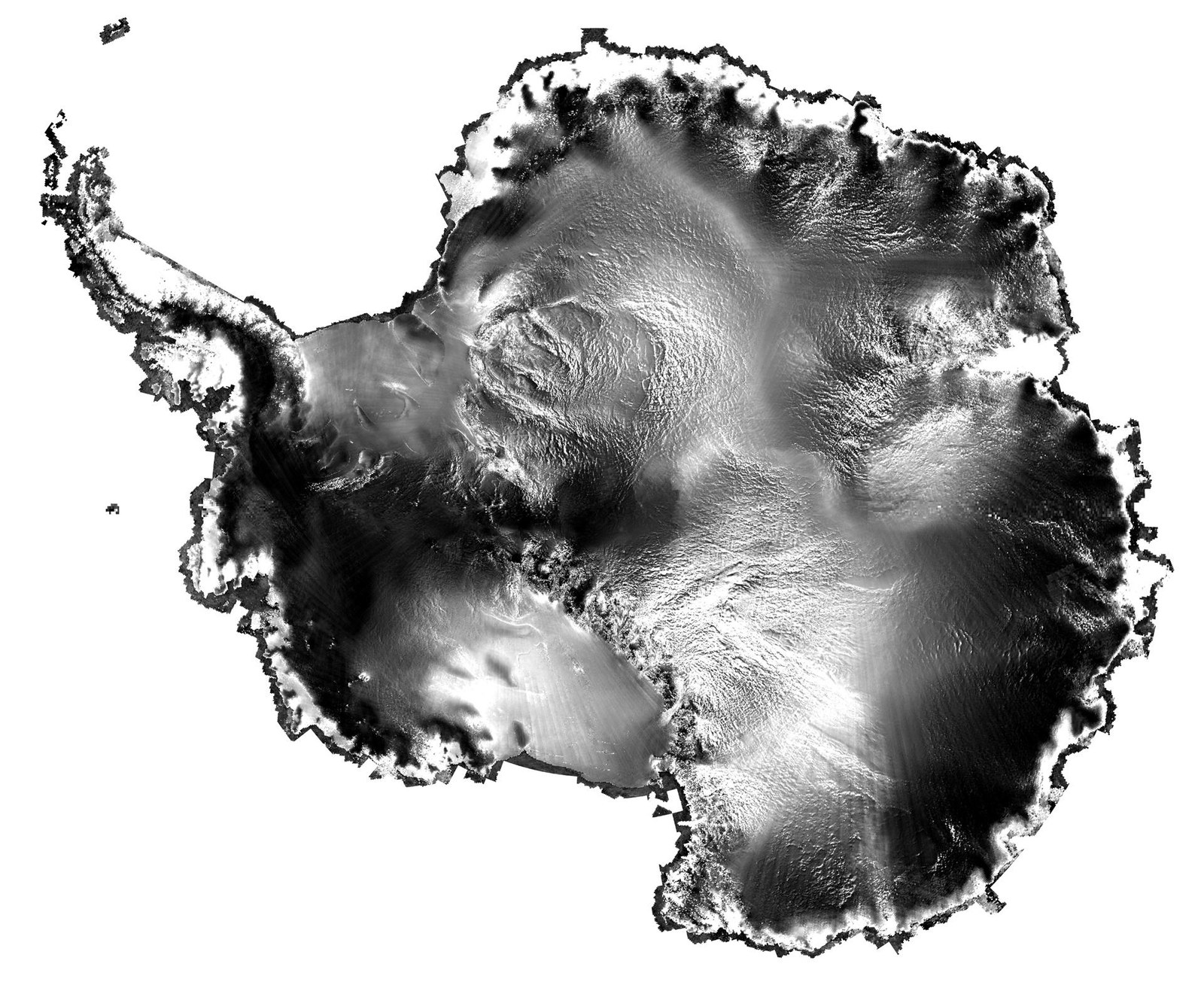
The large-scale TD-X-MCP facility is responsible for final processing of data obtained from the German radar satellites TanDEM-X and TerraSAR-X. The pre-processed Synthetic Aperture Radar (SAR) data from the ground segment's upstream modules is used to produce a global, homogeneous and highly precise digital elevation model (DEM) of Earth.
A global mosaic is created using the individual DEMs, which cover the land area captured by the satellite. Suitable calibration and validation procedures are applied to produce a highly precise elevation model covering the Earth's entire landmass. DLR makes this product available to scientific users. Commercial parties can obtain the product from Airbus.
Due to the way in which it is acquired, this dataset is unparalleled. Once automated processing is complete, optimised algorithms developed at the EOC and other satellite images are used to improve some regions of the existing dataset in an automated editing process. Not only does the MCP process the data, it also provides databases storing the TanDEM-X elevation models, reference elevation models, validation points from other satellite missions, as well as several products for quality control. The entire production chain is based on software developed at the DFD.
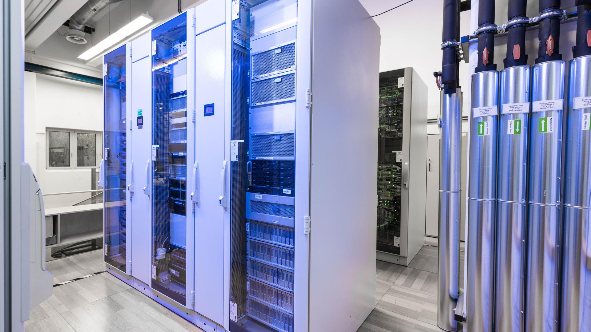
The large-scale facility provides a high-performance platform comprising several Solaris servers and a high-capacity storage area network (SAN) for the processing of radar data. The global DEM was only made possible by use of the MCP. It is available to scientific and commercial users and has already found widespread use.