

IMF-PBA
Image processing
In remote sensing, digital image processing has become a key technology since most of the required processing steps have now been automated. A multitude of methods and algorithms are employed in this field, beginning with those required for very basic operations such as georeferencing, and continuing on to complex three-dimensional analysis or the processing of time series in the case of differential radar interferometry, for example. Image processing also plays a major role in visualizing the results, which leads to improved interpretation and use of remote sensing data.
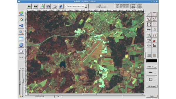
Besides using such commercial image processing systems as ERDAS and IDL/ENVI, new methods and algorithms for optimized data analysis are also being developed at the Earth Observation Center (EOC). One development environment for new image processors is, for example, represented by the DLR image processing system XDibias and the SAR lab. Complete image processing modules which function entirely automatically are then incorporated in ground segment processors for operational-quality performance.
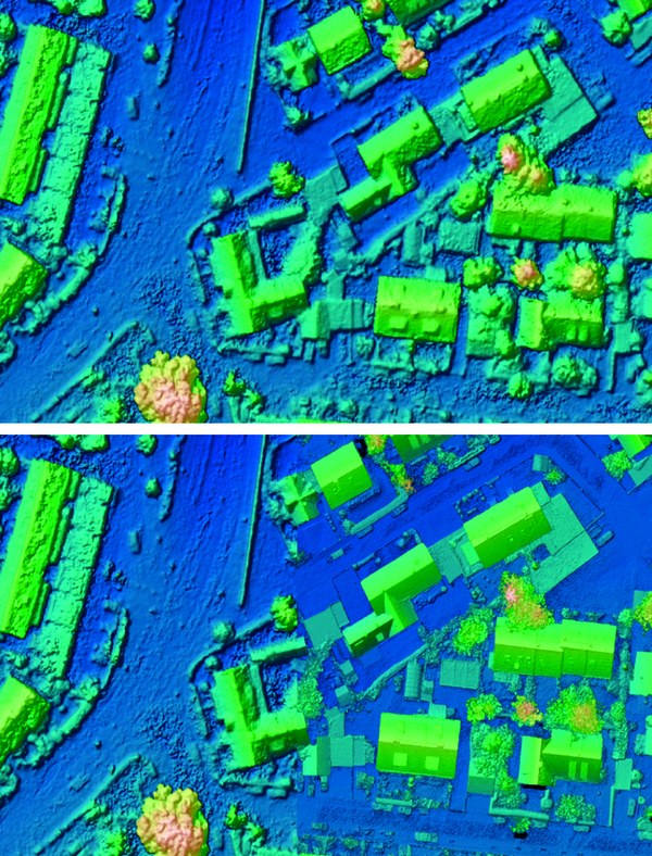
In the case of optical data, orthorectification is a first important step toward superimposing different data sets. This is a precondition of their usefulness for change analysis, data fusion, and GIS systems. Another focus is generating digital elevation models from stereo satellite data. In many parts of the world, knowledge of the precise form of the earth’s surface, including buildings and the amount of vegetation (biomass), is very inexact. The stereo approach which has been developed already makes it possible to construct models of cities from space using the highest resolution data currently available.
Developments in the radar field are especially noteworthy, particular in radar interferometry; these are used to derive digital surface models or ground subsidence maps. A new area of research in this area is also building tomography, which has only become possible with the high spatial resolution data provided by the TerraSAR-X satellite.
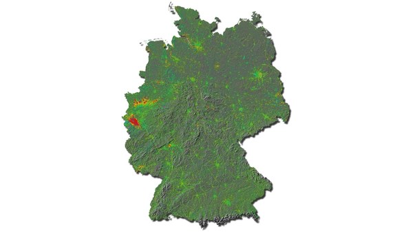
"Image Information Mining" is a technology which makes it possible to search through huge data archives, for example the DLR satellite image archive, for particular objects or relationships. This field involves innovative concepts and methodologies which help users of earth observation data to access particular types of information.
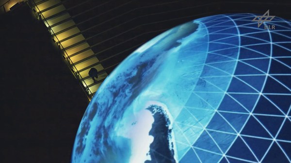
As to visualizing remote sensing data, new procedures are being developed in the area of "Visual Analytics." Here the goal is to optimize the presentation of relationships so that they are easily accessible and comprehensible also for untrained users. This is also important for assisting drivers of motor vehicles to exploit the new possibilities which arise from combining navigation and remote sensing.
.