Skip to main content
Skip to navigation
Skip to footer
DLR Portal
Press
Accessibility
de
en
Earth Observation Center
About us
About us
Research & Transfer
Research & Transfer
Latest
Latest
Multimedia
Multimedia
Careers & Education
Careers & Education
>
About us
>
German Remote Sensing Data Center
>
Land Surface Dynamics
>
>
SAR Topography
>
Vietnam-Phu-Yen
Home
>
About us
>
German Remote Sensing Data Center
>
Land Surface Dynamics
>
SAR Topography
>
Vietnam-Phu-Yen
Vietnam-Phu-Yen
Vietnam-Phu-Yen
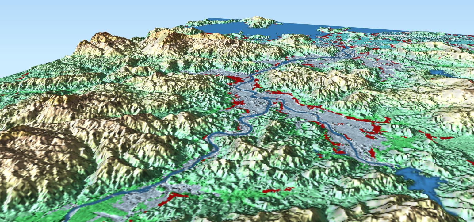
Perspective view on Phú Yên province Vietnam, color-shaded TanDEM-X DEM (© DLR 2020) with water- and settlement mask of the Global Urban Footprint product
Credit:
DLR (CC BY-NC-ND 3.0)
Download
Download


