
DIVER
In Germany, flood protection is a central element of public services. Around 13,300 kilometers of dyke lines protect residential areas and ecosystems from storm surges and extreme weather events. However, the current practice of dyke monitoring is mainly based on manual inspections, which are only carried out twice a year.
These conventional methods are reaching their limits: The process is time-consuming, subjectively influenced and often not precise enough to detect small-scale but critical damage such as incipient erosion, gaps in the protective grass cover or cracks at an early stage. Although large-scale remote sensing (satellites or aircraft) provides a good overview, it lacks the spatial resolution to detect subtle changes in the dyke profile. There is therefore an urgent need for an automated, high-precision monitoring solution that closes the safety gap between manual monitoring and inaccurate satellite data.
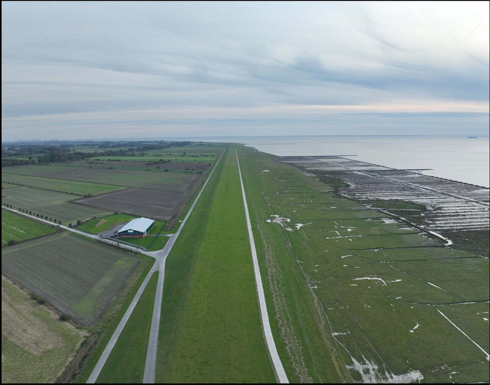

In the DIVER project, the Institute of Data Science is developing a drone-based monitoring system for dykes and dyke foreshore.
By combining modern drone technology with photogrammetric methods (Structure from Motion) and deep learning algorithms as well as expert knowledge, a powerful data process is being established. This enables the automatic generation of high-resolution 2D and 3D models of dykes and dyke foreshore. The system identifies types of damage such as erosion, loss of vegetation or cracks without manual intervention, which enables precise conclusions to be drawn about the condition of the dyke. Robust and scalable analysis pipelines are being developed in the project. This includes the integration of multisensory data (e.g. RGB and LiDAR) and the implementation of automated workflows. This will transfer the methodology from the research stage to the application stage.
The project makes a significant contribution to the resilience of critical infrastructures. Thanks to the automated early detection of vulnerabilities, damage can be remedied preventively, which sustainably improves the safety of the coastal population. The developed system also addresses an existing gap in the market for precise monitoring. Licensing the algorithms to partners promotes the transfer of research to industry. The institute is also strengthening its expertise in application-oriented drone research. Close coordination with end users ensures that the methods are not just theoretical, but also practical and contribute to the standardization of new monitoring standards in flood protection.
Project duration: 02/2026 - 01/2028