Spectrometry
Imaging sensors (cameras) provide spatially-resolved information in two dimensions, and to do so make use of the visible light region of the electromagnetic spectrum. Spectrometers, by contrast, are sounding sensors (without spatial resolution) which split the incoming radiation into its spectral components. With the measured spectrum it is possible to analyze the composition of the surfaces or gases under observation along the instrument’s line of visibility. Systems which measure with spatial as well as spectral resolution are called imaging spectrometers, multispectral or hyperspectral sensors.
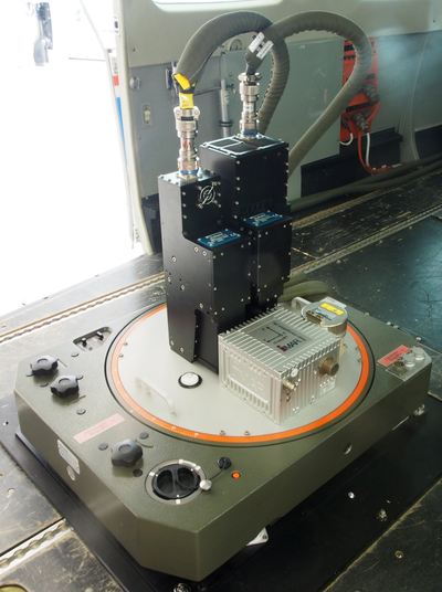
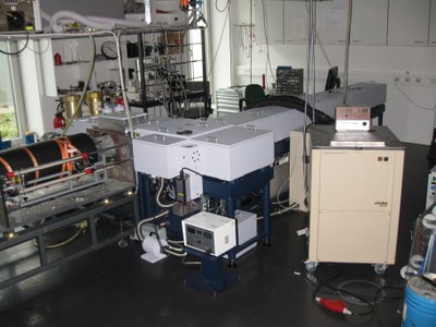
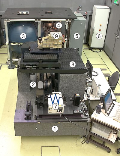
The Earth Observation Center (EOC) operates a number of sounding and imaging spectrometers in the spectral range of visible and infrared radiation. They are used in the lab or in situ on the ground as reference systems, and also for the OpAiRS (Optical Airborne Remote Sensing and Calibration Facility) user service for aerial optical remote sensing.
For satellite-borne spectrometers, IMF develops sensor specific algorithms which can be used to derive geophysical parameters from measured spectra.


