
Hainich - Project
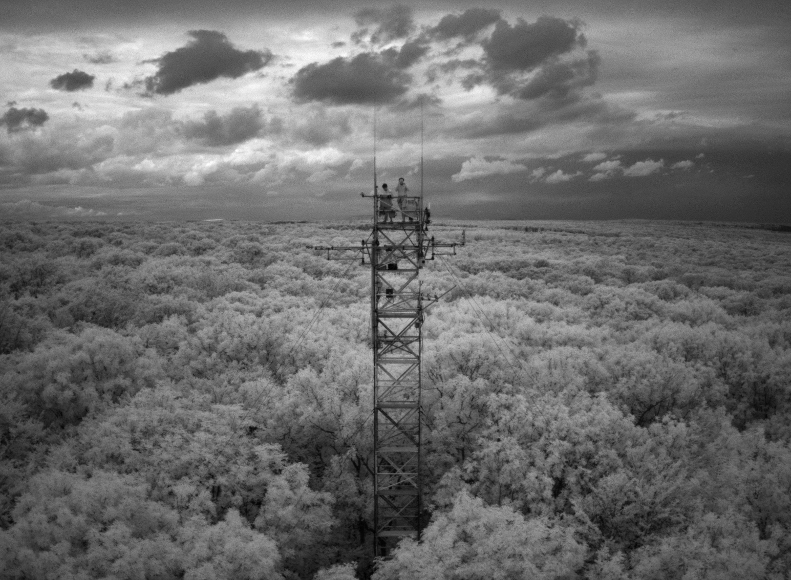
The Hainich National Park is the largest contiguous area of deciduous forest in the country. Its near-natural forests form an important ecosystem, which is why the park was listed as a UNESCO World Heritage Site in 2011. However, the increasing drought is leading to increased tree mortality throughout Germany. In Hainich too, a widespread occurrence of dead tree crowns, weak foliage and stunted leaf formation has been observed for several years. The drought years of 2018 and 2019 in particular have accelerated this development.

The Hainich project therefore aims to observe the changes in vegetation in the national park over the years with the help of consumer drone-based methods and to create suitable products for analyzing forest development. This includes calculating the proportion of deadwood, monitoring tree gaps and observing the development of tree crowns (drought stress, etc.). As part of joint activities, users should also be able to participate in data generation in order to map changes over time. The methods are transferable to other forest areas and can advance the drone-based digitalization of forestry.
Aims of the research project:
- Further development of the automated annual mapping of the gaps present in the canopy as well as the crown (projection) areas.
- Further development of automated mapping of lying trees based on current drone image data of the forest stand
- Development of automated methods for tree species identification
Project runtime: 2025 - 2029
Funder: Nationalpark Hainich