
IPS - Integrated Positioning System


System Description
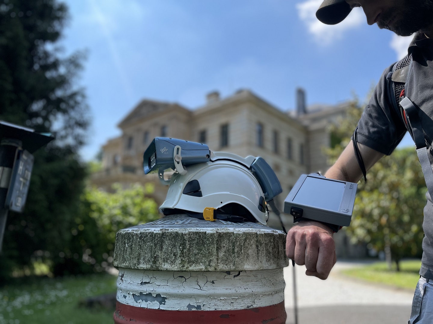
IPS (Integrated Positioning System) is a system for ego motion estimation without any prior knowledge of the environment. It is capable to operate in buildings, tunnels, etc. as well as outdoor spaces. The system is based on a multi-sensor approach with a basic configuration including a low-cost inertial measurement unit combined with a stereo camera system and an optional tilt sensor (Fig. 1). In doing so the disadvantages of the indi-vidual systems are compensated by the other and the navigation error growth is significantly reduced. The main purpose of IPS is the develop-ment of visual navigation methods and technologies.
Robustness
To confirm robust and reliable navigation results an indoor experiment was made in the DLR building in Berlin-Adlershof. 15 separate trials were conducted, each started at a fixed point on the fourth floor. We went out the office along the corridor to the stairway (Fig. 2). On the first floor we made a circuit and returned back to the fourth floor to close the loop (Fig. 3). The experiment took place under real life conditions, i.e. changing lighting, low texturing in some areas and optical disturbances from moving people at the office corridors. The absolute deviation in position at a distance of 310 m was approx. 59 cm (3D RMS-error).
Accuracy: Deviation of the 3D position: 0.1% of the average distance traveled.
Publications
Accuracy Evaluation of Stereo Vision Aided Inertial Navigation for Indoor Environments: D. Griessbach, D. Baumbach, A. Boerner, M. Buder, I. Ernst, E. Funk, J. Wohlfeil, and S. Zuev (2013), ISPRS Acquisition and Modelling of Indoor and Enclosed Environments 2013, 11.-13. Dec. 2013, Cape Town, South Africa.
IPS - A system for real-time navigation and 3D modeling, Griessbach, Denis und Baumbach, Dirk und Boerner, Anko und Buder, Maximilian und Ernst, Ines und Funk, Eugen und Wohlfeil, Juergen und Zuev, Sergey (2012), In: Int. Arch. Photogramm. Remote Sens. Spatial Inf. Sci., XXXIX (B3), Seiten 75-80. ISPRS. XXIInd ISPRS Congress, 25. Aug. - 01. Sep. 2012, Melbourne, Australien. DOI: 10.5194/isprsarchives-XXXIX-B3-75-2012.
Data fusion algorithm for indoor navigation based on multi-sensor approach, Baumbach, Dirk und Griessbach, Denis und Zuev, Sergey (2012), IPIN 2012, 13.-15. Nov. 2012, Sydney, Australia.