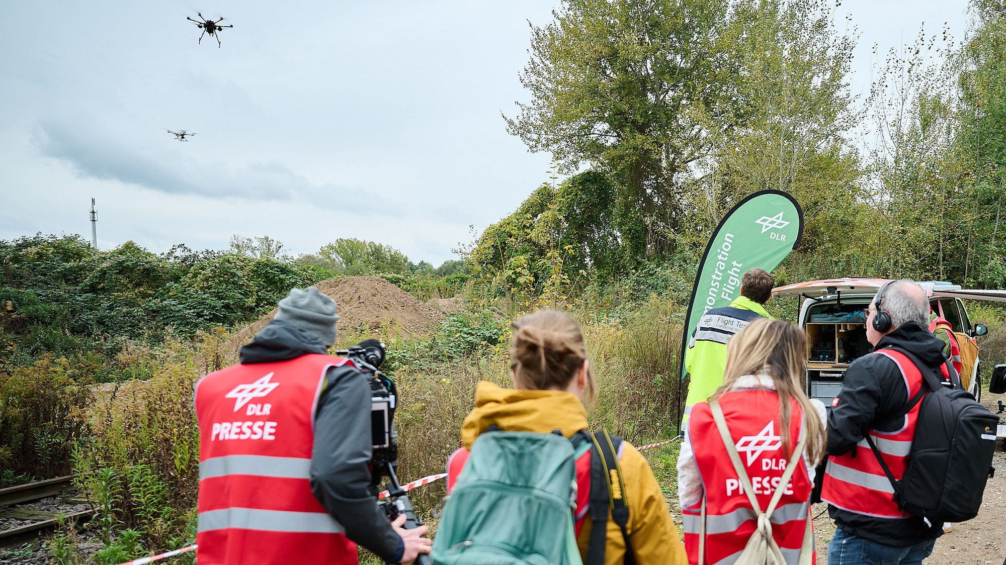
During the exercise for the RESITEK project in Braunschweig, a relief operation following a severe storm is played out. Drones take off and search the site for people in need of help.
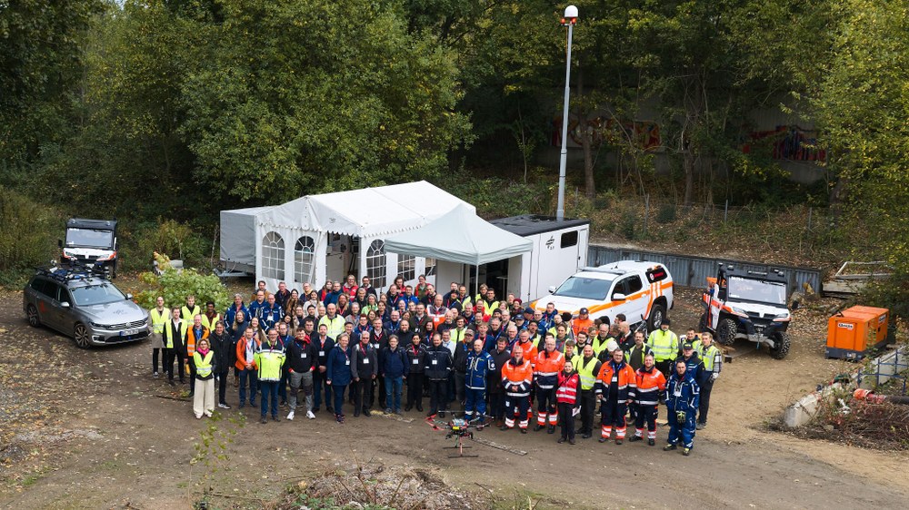
I'm stuck in a traffic jam. It's been raining, there are emergency vehicles ahead and a branch is lying across the muddy path. In front of me are the Johanniter and Malteser aid organisations, the fire brigade and, of course, the Federal Agency for Technical Relief (Technisches Hilfswerk; THW) is everywhere. But instead of feeling worried, I can't help but smile because this isn't a real emergency – it's just a test and I'm in charge of this large-scale exercise. Everyone has turned up and the weather's even playing along. I love it when a plan comes together! But what exactly came together?
RESITEK – the urban storm scenario
Innovative technologies and processes from the RESITEK project were tested during a large-scale exercise in Braunschweig.
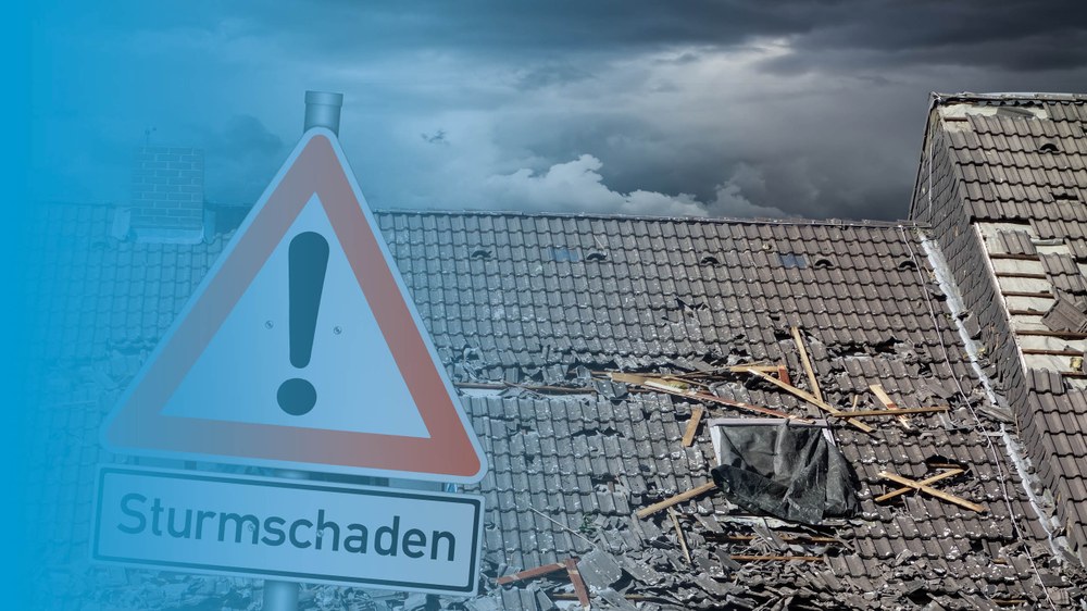
On 9 October 2026, the large-scale 'Storm damage in urban areas' exercise took place in Braunschweig. Our aim was to test the technologies and processes from the RESITEK project (Resiliente Technologien für den Katastrophenschutz, or 'Resilient Technologies for Disaster Protection' in English) under real-world conditions.
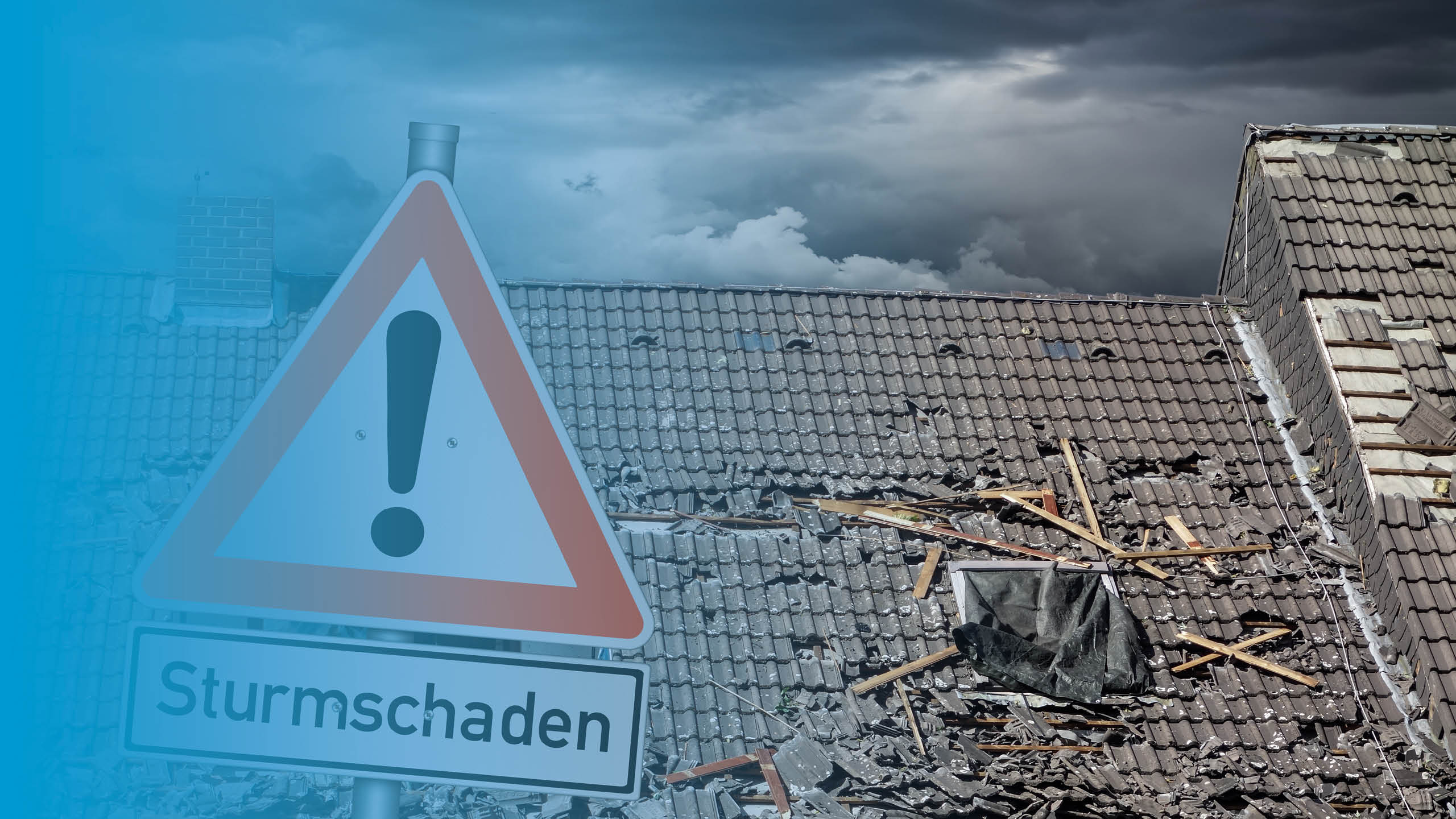
Together with emergency and rescue services, our DLR teams simulated the aftermath of a devastating storm: roads were blocked by uprooted trees, buildings were severely damaged, and electricity and communications networks failed. The task was to assess the situation on the ground as quickly as possible to enable swift and effective rescue and relief operations.
The RESITEK technology demonstration marked the culmination of three years' work. Sixteen DLR institutes collaborated to investigate how new technologies can support and optimise civil protection and disaster management in a real-life scenario. The idea is to build a comprehensive data and visualisation system by consolidating data from satellites and drones, from the monitoring of critical infrastructure and from ground-based and robotic reconnaissance. This allows continuous situational monitoring and the creation of comprehensive situational pictures – and thus better decision-making in an emergency.
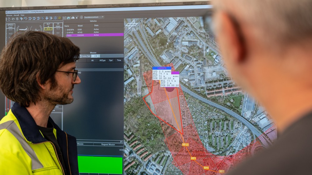
Researchers working on the airspace situational picture
The airspace situational picture allows the emergency services to plan flights and monitor the airspace for crewed and uncrewed aircraft.
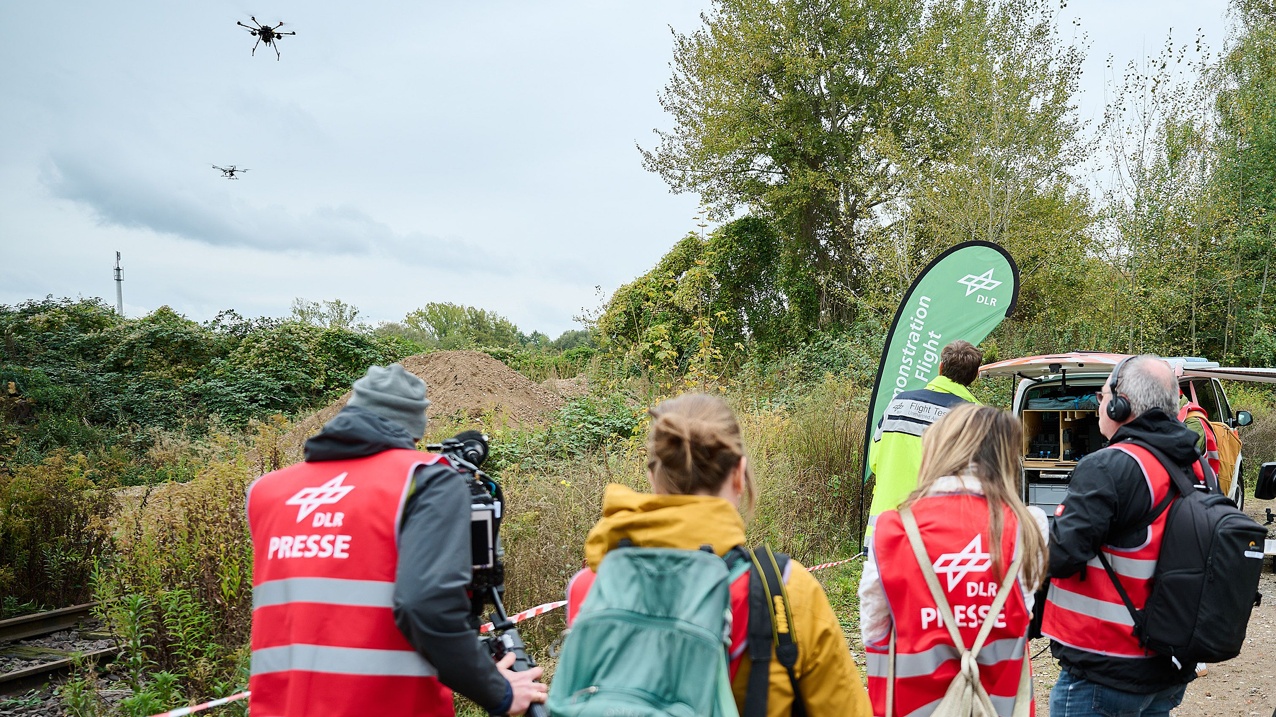
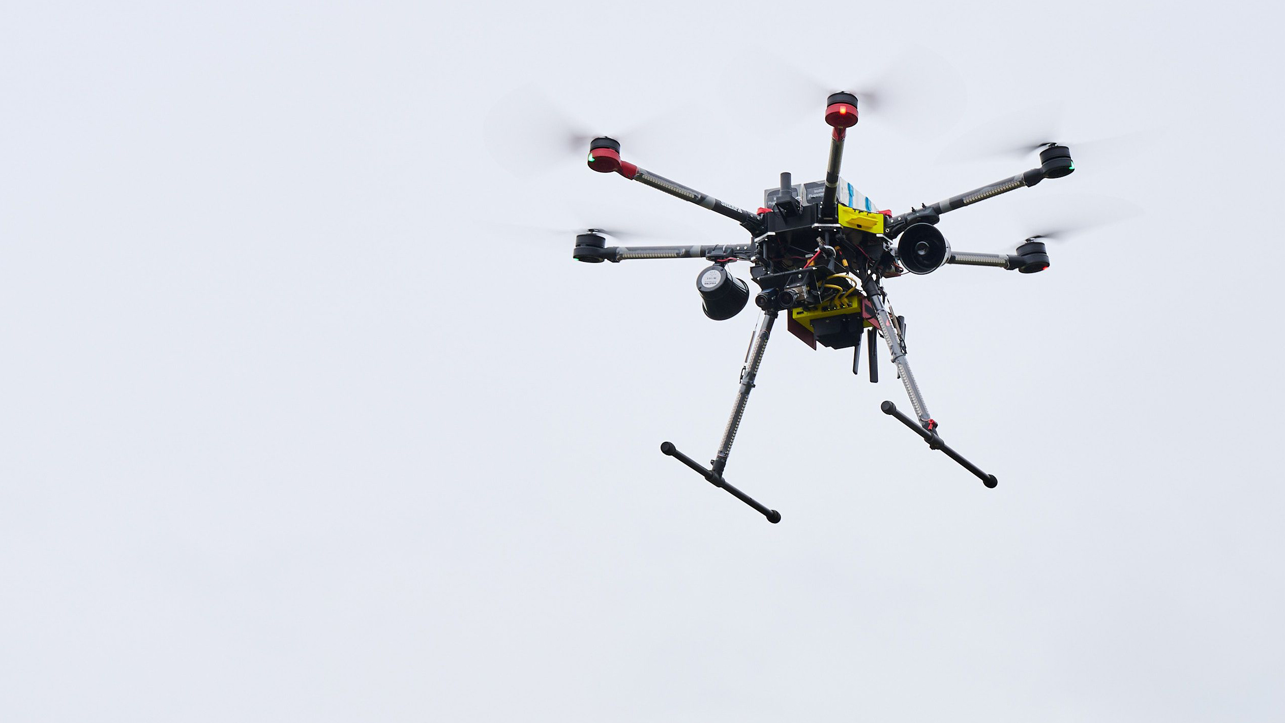
A look back… On the morning of 9 October, we kick off at 09:00 CEST and run two scenarios in parallel: one focusing on the airspace and one on the ground situation. In the airspace scenario, an autonomous search-and-rescue drone takes off and circles the area to find injured people on its own. Once the drone has identified a person in need of assistance, it immediately alerts the central situation centre. This is where all the data comes together and is incorporated into the situation map, which is accessible to all rescue and emergency services personnel. The position of the person in need of assistance is then marked on the map.
Drones as 'flying helpers' and a virtual helicopter
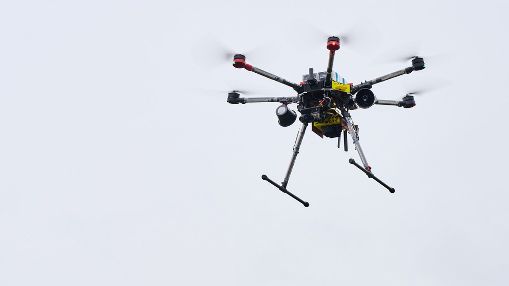
Drone with on-board cameras
The drone uses its cameras to capture its surroundings and send the information directly to the situation centre.
A second drone takes off towards the location where the person was found. It transmits live footage to the situation centre, allowing the emergency services to assess the situation and confirm that someone really is in distress there.
Immediately, a virtual helicopter equipped with a rescue hoist takes off and approaches the scene – every stage is clearly visible on the flight simulator, and it can even be 'operated' by the participants in the exercise. On the screens in the situation centre, observers can follow as virtual paramedics are lowered from the helicopter, secure the person on a stretcher and are then winched back on board with them. Before the helicopter arrives, an automatic system ensures that the drones withdraw from the area and return autonomously to their take-off point. This helps to prevent potential collisions.
Autonomous vehicles become supply and patient transporters
The ground situation scenario offers a glimpse into a future in which highly automated vehicles – a kind of 'robo-taxi' – travel autonomously on the roads. After a severe storm that causes power outages and disrupts traffic systems, these vehicles would normally come to a standstill wherever they are. So, we are testing a system for mobility in exceptional circumstances that prevents them from blocking roads and emergency routes while allowing them to transport relief supplies or people. A particular challenge in this regard is that autonomous vehicles usually rely on markings, which their sensors read and use for navigation.
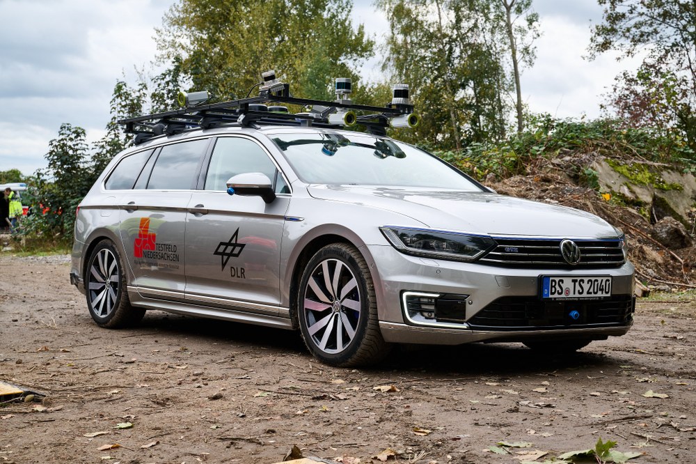
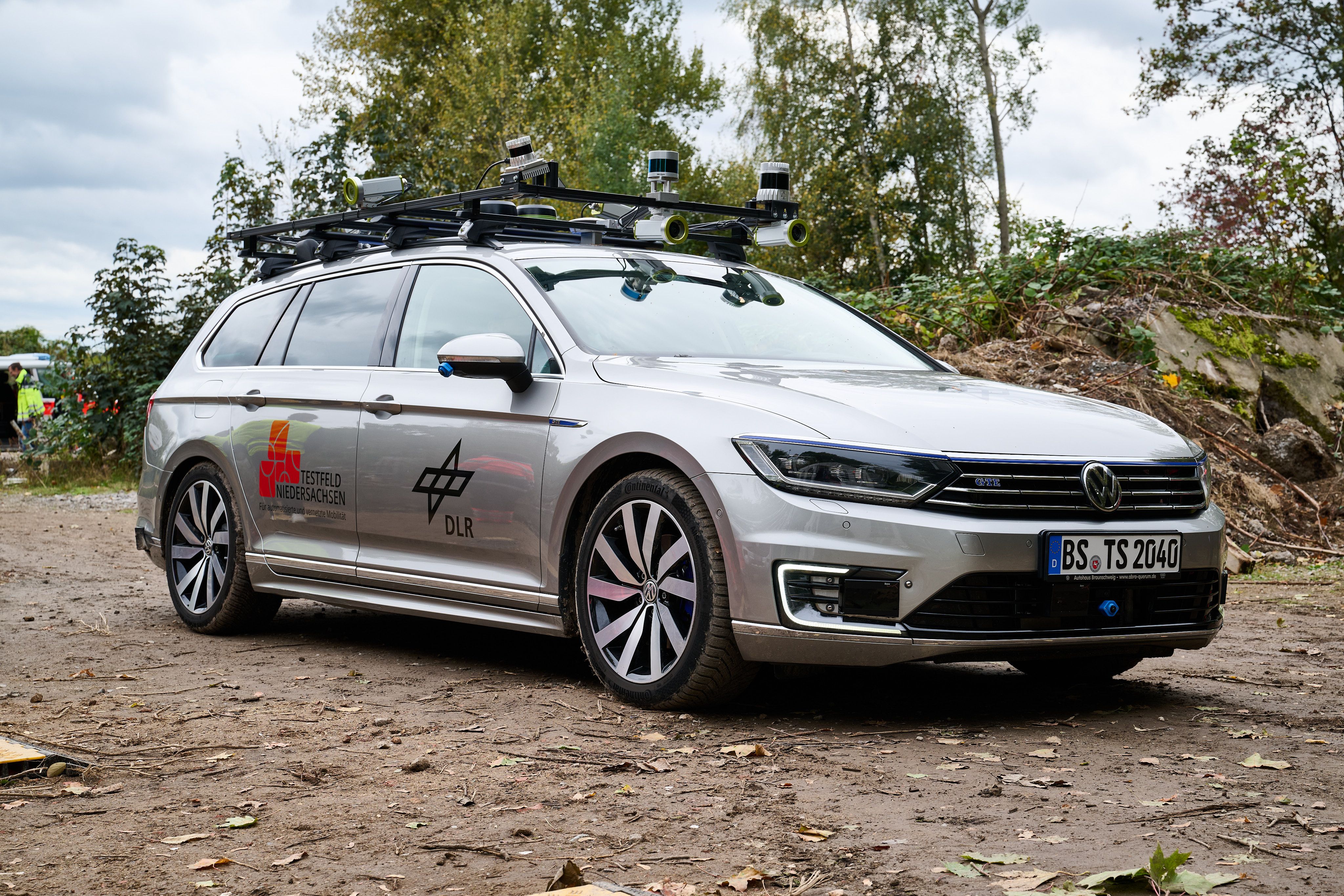
To simulate this situation, our exercise uses DLR's ViewCar research vehicle, which is fitted with special sensors. Our special car must be able to manoeuvre around branches and fallen trees and drive off the tarmac. Here, too, all data is relayed in real time to the ground situation centre. Both the positions of the vehicles in the disaster area and information on the exact locations of power outages are incorporated into the comprehensive situation map. A tree register shows where trees have already fallen and where further roadblocks are likely to occur.
Computer-based traffic models simulate the behaviour of vehicles and pedestrians, calculate optimal routes for emergency vehicles and coordinate staggered evacuations. An additional algorithm automatically divides operational areas into sectors. Fleets of autonomous vehicles benefit directly from the routes calculated in this way, which means they can be reliably guided out of danger zones.
Mud and rubbish instead of desks and computers
If a job's worth doing, it's worth doing well. In the run-up, that meant setting up trestle tables, clambering over mounds of earth, helping with construction work in dust and mud, waiting for security guards and taking out the rubbish. It's all part of the job. And the DLR people? It turns out they are organisational powerhouses – set them loose and they organise themselves, always looking out for those around them. Swapping cable reels, setting up a satellite network, helping each other along the way, testing systems – hundreds of small decisions. Everyone has a plan. It's a dream for me as a 'lazy' demonstration lead and for our overall project manager, Joachim Götz. By now, he has become an expert in everything: fire safety for tents, generator operation, occupational health and safety, emergency plans, event management and data protection.
DLR and the emergency services – joining forces to prepare for crisis situations
Credit:
DLR/Leon Jakobs
In the end, all the work paid off. The technology, simulations and systems proved their worth, and the virtual rescue operations went well. And with the wealth of data we gathered in this field test, we will be working over the coming weeks and months to optimise the processes further. I love it when a plan comes together!