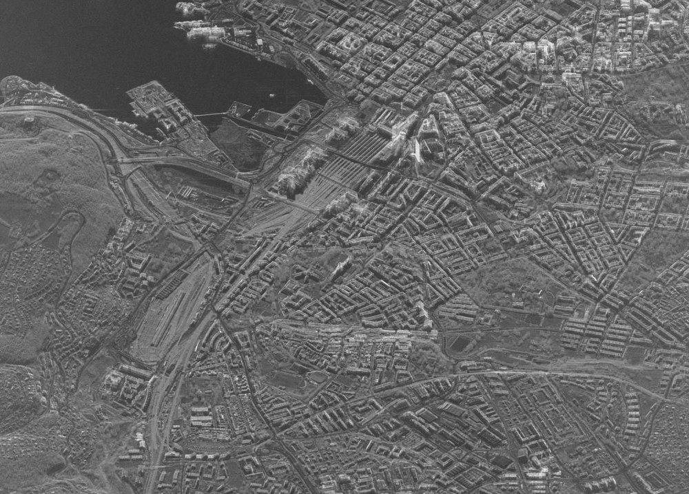
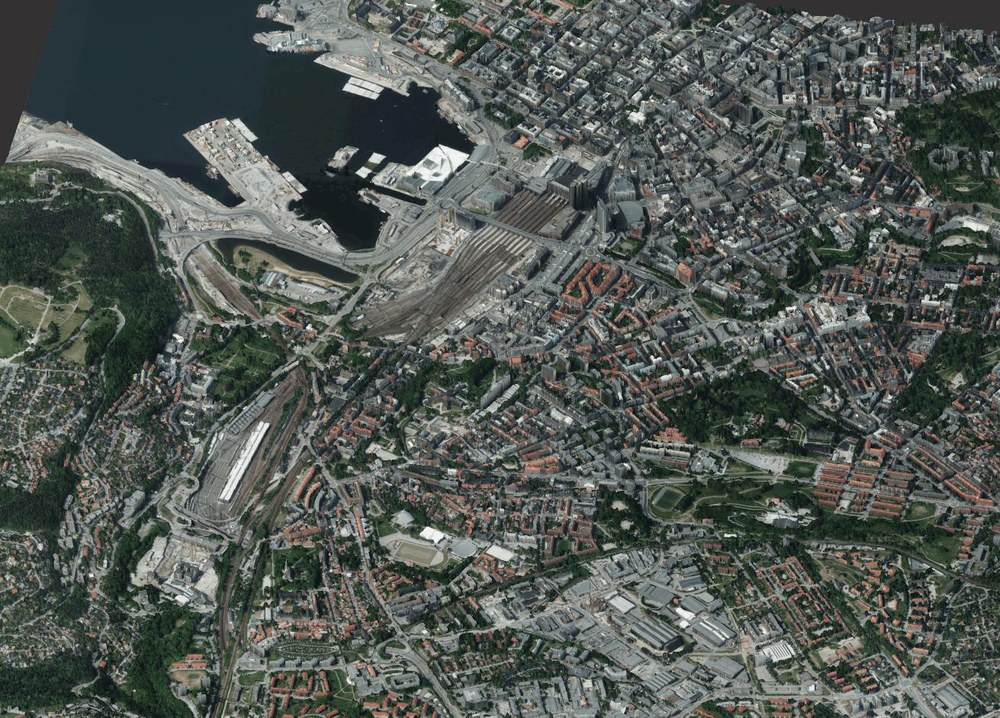
The same principle in signature recognition of aligning the optical image plane with the one of the SAR image can also be used in larger scale for the whole scenery. Through this, the interactive alignment step by the user can be omitted, because the transformation between the image planes can be calculated automatically from the respective geographic information. In the following Figure 7 a SAR image of the harbor around Oslo is shown along with an aligned optical image. The optical image exactly fits onto signatures like buildings, because in the transformation process a high resolution digital elevation model (DEM) has been used (which also contains elevated structures like buildings). Optical and DEM image data is used by courtesy of the DLR Institute for Optical Systems.
Figure 7: TerraSAR-X Staring Spotlight image of Oslo