Forest Inventory Fichtelgebirge
Forest Inventory Fichtelgebirge
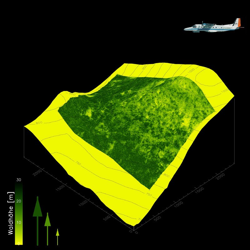
Forest inventory in the Fichtelgebirge using aircraft radar: a 3D forest elevation image projected onto a contour map. The area shows a topographic height variation of 600 meters and a forest height variation of 0 to 30 meters. The forest heights were determined using a technique known as polarimetric SAR interferometry, which was developed at the DLR Institute of High Frequency Technology and Radar Systems. This technique will also be tested during the INDREX-2 flight campaign in Indonesia over tropical rainforest.
Credit: DLR (CC BY-NC-ND 3.0)

