
Mawa's forest elevation map

Mawa's forest elevation map
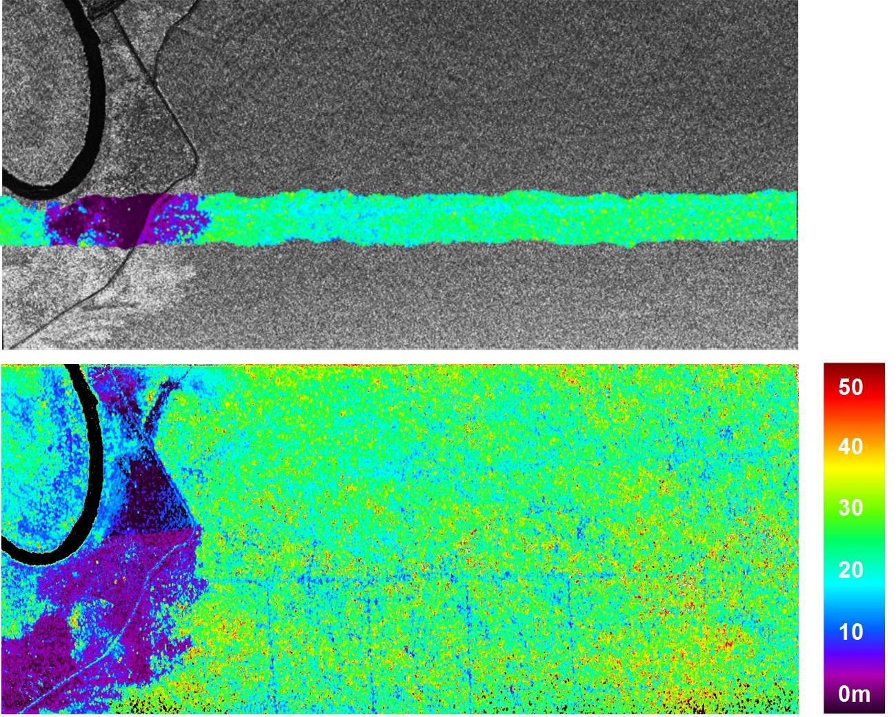
Mawas test area (tropical peat rainforest) in Central Kalimantan, Indonesia. Top: Radar image (greyscale) in L-band, HH polarization, overlaid with a LIDAR forest height map. Below: Forest height map calculated from polar INSAR data in L-band.
Credit: DLR (CC BY-NC-ND 3.0)