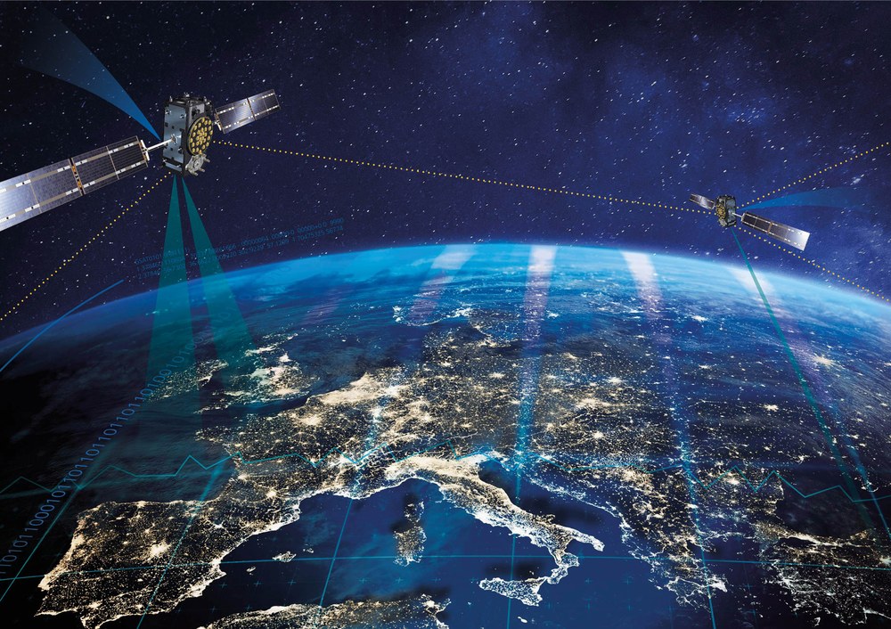
Extreme space weather phenomena impair the functionality and accuracy of modern communication and global navigation satellite systems (GNSS). The disturbances caused by solar flares and radiation bursts depends on solar activity with higher probability around solar maximum. The aim of this project is to provide GNSS users with specific information for improved correction, error estimation, and risk assessment of space weather events. The ionospheric properties, which are greatly altered by space weather, are considered the main source of error for GNSS applications. The DLR has many years of experience in real-time monitoring of the ionosphere, its empirical modeling, and characterization of the degree of disturbance. For example, the German Aerospace Center (DLR) developed the ionosphere model “Neustrelitz Total Electron Content Model” (NTCM), which was recently accepted by the European Commission as an alternative correction model for ionospheric distance errors for Galileo. As part of the project, the model coefficients will be optimally adjusted and made available to users in near real time. Improvement of ionospheric corrections for single-frequency GNSS users can be expected. Depending on the correction model and the degree of ionospheric disturbance, their accuracy is currently between 50 and 70%
Another service is based on newly developed disturbance indices that allow to characterize and quantify the degree of ionospheric disturbance and are communicated to users in near real time. All new data products/services will be made available via the DLR's Ionosphere Monitoring and Prediction Center (IMPC, https://impc.dlr.de/). The partners from the field of GNSS surveying will validate the products in terms of their quality, evaluate their practical suitability, and, if necessary, provide suggestions for improvement.
Partners supporting the project:
• Satellitenpositionierungsdienst (SAPOS-MV), Schwerin, Germany • Bundesamt für Seeschifffahrt und Hydrographie (BSH), Rostock, Germany • Hochschule Neubrandenburg (HS-NB), Neubrandenburg, Germany


