
Loading
Hannover
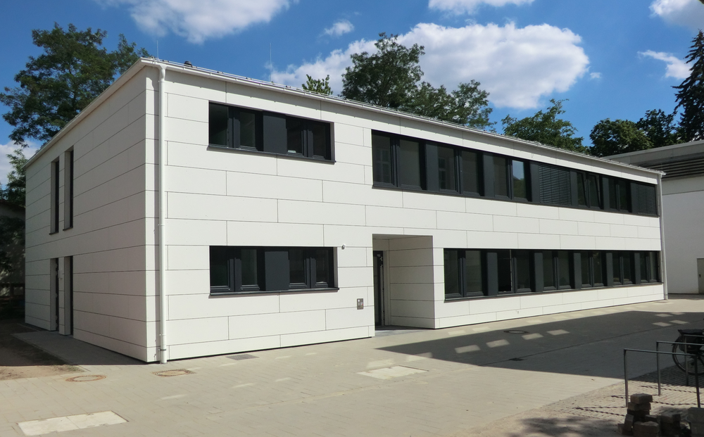

Institute Building in Hannover
Credit:
German Aerospace Center (DLR)
Institute for Satellite Geodesy and Inertial Sensing
Callinstr. 30b
30167 Hannover
Germany
Arrival
Public transport
Leave Hannover main station in the direction of City and walk along Bahnhofstr. to the subwaystation Kröpke. There, take line 4 in the direction of Garbsen or line 5 in the direction of Stöcken. Get off at the fourth stop Schneiderberg/Wilhelm-Busch-Museum.
Cross Nienburger Straße and turn left along Nienburger Straße and turn right into Kniggestraße. At the end of Kniggestraße cross Callinstraße and continue straight ahead to the car park in the inner courtyard.
- To Callinstraße 30b (office building): On the right-hand side (behind the second building) you will see the entrance to the building..
- To Callinstraße 34/36 (laboratories): on the left side you will find the glass passage to the entrance.
Arrival by car
From the North
Leave the motorway A7 at the Dreieck Hannover-Nord for direction Hannover-Nord/Dortmund (A352). Follow the A352 merge to the A2. Leave at the exit Herrenhausen/Zentrum to the B6 (Westschnellweg). Continue as described under from the east and west.
From the East and West
For arrival by car proceed via motorway A2. Exit the motorway at Herrenhausen/Zentrum which leads over to the B6 (Westschnellweg). Leave the B6 in direction Herrenhausen/Hainholz/Krankenhaus Nordstadt. Keep to the right and drive onto Herrenhäuser Straße. Continue on Nienburger Str. and turn left onto Callinstr. After approximately 400 meters you will reach the entrance to the university campus on the left. The building of the Institute for Satellite Geodesy and Inertial Sensing is on the right hand side.
From the South
If you are approaching the university from the south on the A7 motorway, take the exit Hannover Süd toward Messe on the B6 (Messeschnellweg). After passing the trade-fair premises, turn into the B65 (Südschnellweg) toward City Centre. Exit the expressway at Zentrum and turn right at the next set of traffic lights into Hildesheimer Straße. Hildesheimer Straße ends at the City Ring, into which you turn left toward Universität / Herrenhäuser Gärten. You will be guided to Königsworther Platz via Aegidientorplatz, Friedrichswall, Leibnizufer, Brühlstraße. Drive straight ahead across Königsworther Platz into Nienburger Straße (toward Herrenhäuser Gärten). After passing Leibniz Universität Hannover on the right-hand side, take the second road on the right into Kniggestraße. At the end turn right and then left on the grounds of the Leibniz University. On the right hand you will find the Institute for Satellite Geodesy and Inertial Sensing.
Arrival by Park & Ride
For the sake of our environment, please use one of the numerous Park+Ride facilities of the city of Hannover and come to the institute in the city centre by public transport, e.g., city railway stop Wissenschaftspark Marienwerder, approaching from north/west via A2:
- Exit 42-Hannover-Herrenhausen onto B6 in the direction of H.-Herrenhausen /Nienburg/Neustadt a. Rbge/Garbsen-Ost.
- Follow signs to B6 and continue on Am Leineufer/B6
- Exit in the direction of Marienwerder/Wissenschaftspark/Hannover-Stöcken
- Turn right onto Jädekamp
- Entrance to P+R on the right before the bridge.
- Take tram line 4 in the direction of Roderbruch, destination stop Schneiderberg/Wilhelm-Busch-Museum (takes approx. 15 minutes).
You need a day ticket Tageskarte Zone A.

Your consent to the storage of data ('cookies') is required to show this map from OpenStreetMap. You can view and change your current data storage settings at any time under privacy.
Open Mapp in OpenStreetMap / Google Maps