The EGNOS navigation service is based on a combination of a satellite and ground system that works with GPS but provides more precise positioning data for Europe. EGNOS extends the existing GPS military navigation system to civil safety-critical applications, particularly for air transport, but also rail and shipping. The positioning accuracy will be improved from around 20 metres to around two metres by combining GPS with EGNOS. At the same time, the availability of navigation signals will be increased in Europe. An additional control signal is also transmitted to warn users of faulty signals.
Logo Egnos
Credit:
ESA
In the ground segment, high-precision receiving stations (RIMS = Ranging and Integrity Monitoring Stations) receive GPS data and send it to four control centres (Master Control Centres, MCC) via an extensive communication network. These centres calculate correction data for more precise positioning by comparing the known ground locations of the receiving stations with the GPS signals. This correction data also considers positioning errors caused by the ionosphere.
Correction of GPS data
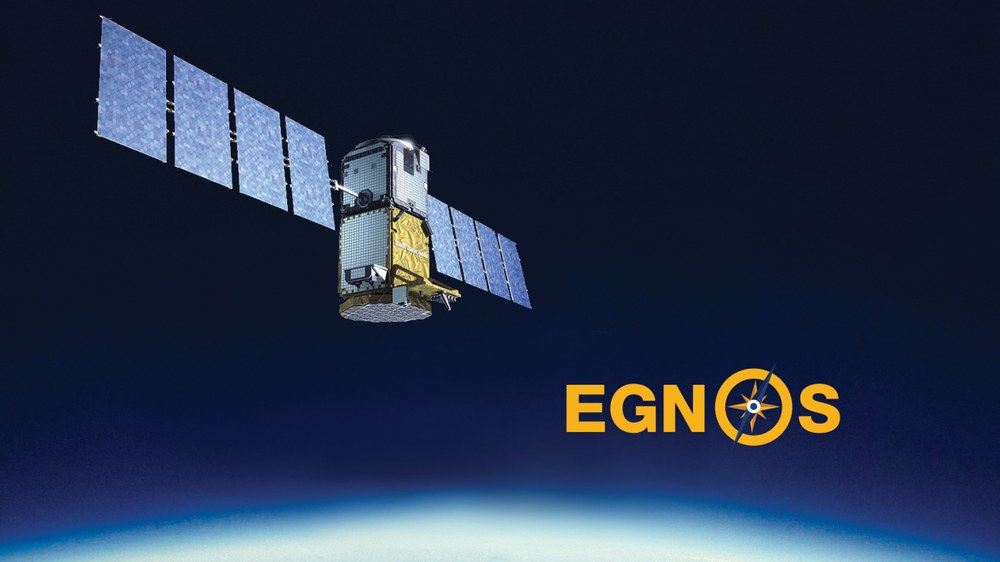
Position correction data and time information are then sent to users on Earth via ground stations (Navigation Land Earth Stations, NLES) and via three geostationary satellites, which are located at an altitude of 36,000 kilometres. These satellites do not generate GPS signals independently, as the US-American system does, but only transmit the correction data determined on the ground to users through navigation transponders. EGNOS signals can be received not only in Europe but also partly in the Middle East, Asia and Africa. Two of the satellites are positioned over the eastern part of the Atlantic and the Indian Ocean. A third is focused on Africa and Europe.
EGNOS signals are already being emitted over Europe with a high degree of accuracy, without the user receiving a guarantee for this. EGNOS still needs to be certified for aviation purposes. EGNOS serves Europe as the first important step on the way to the independent Galileo satellite navigation system. EGNOS is already making it possible to develop cutting-edge technologies for satellite navigation and thus promote a market that will create new business areas and jobs in the industry.
Funding from the EU budget
Following the decision of EU transport ministers, the European Commission has been given overall responsibility for Galileo and EGNOS. From 2008 to 2013, 330 million euros were made available from the EU budget for EGNOS. In 2013, ESSP was awarded a contract by EUSPA to act as the single EGNOS Service Provider from 2014 until the end of 2021.
Global utilisation options for EGNOS
EGNOS can complement similar regional augmentation systems. The USA is creating the Wide Area Augmentation System (WASS), Japan the Multitransport Satellite based Augmentation System (MBAS) and India the GPS Aided Geo Augmented Navigation System (GAGAN). The common goal of all programmes is global coverage and a common standard so that users, especially in aviation, but also in shipping and road traffic, can use all systems with uniform receivers.