
Landsat Follow-on – DLR and USGS are collaborating
From 22 to 24 June 2026, a working meeting between the DLR and the U.S. Geological Survey (USGS) took place at the EOC in Oberpfaffenhofen, focusing entirely on the current status and future development of the Landsat mission.
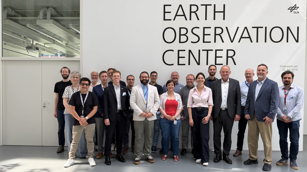

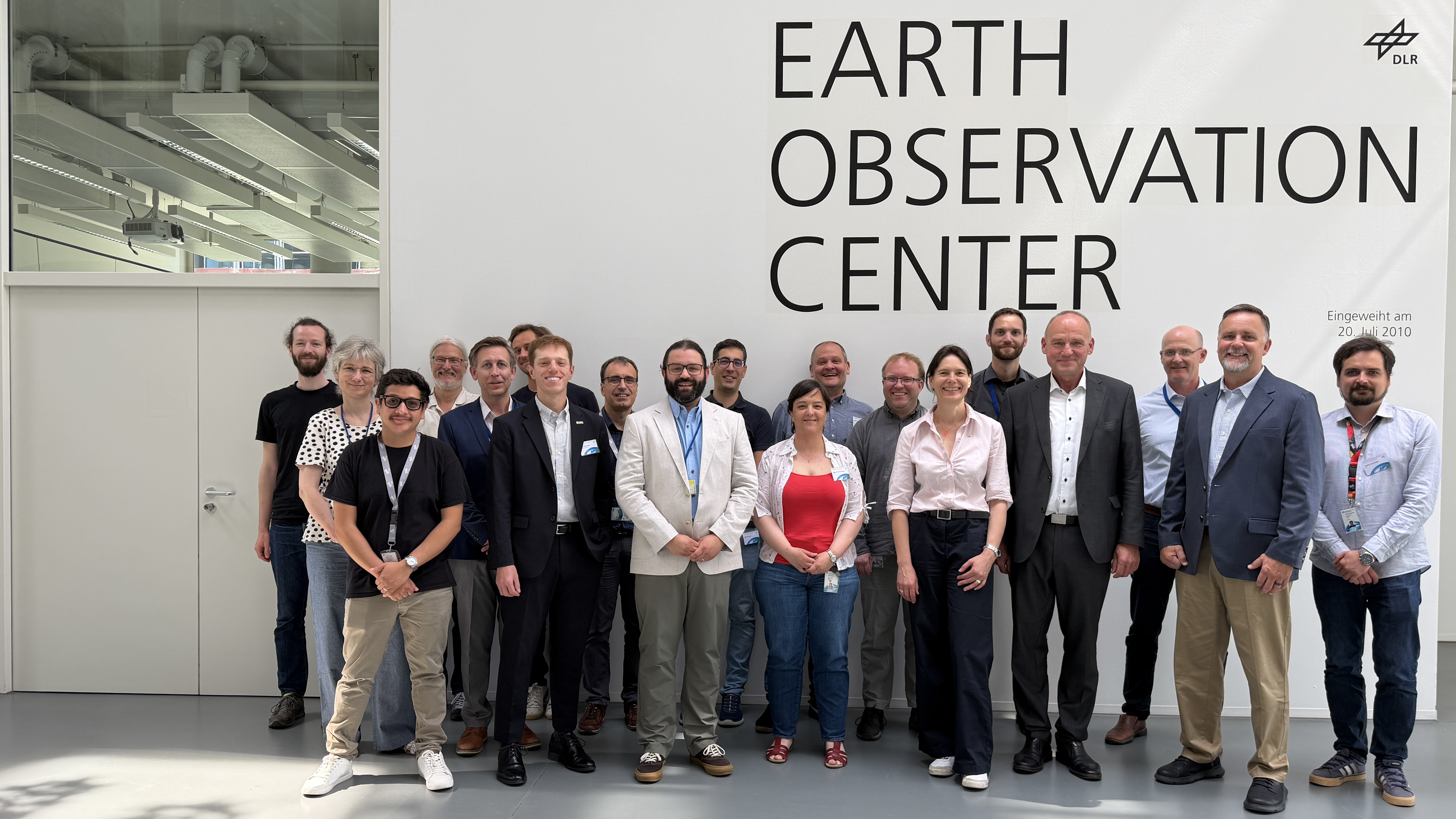
Since the 1970s, the US Landsat satellites have been mapping the Earth’s land surface. Over the course of three days, information was exchanged and technical developments discussed, particularly with regard to continuing the mission with the next generation of satellites.
There has been close cooperation between the EOC and the USGS for many years. As part of the USGS Ground Network, the EOC receives Landsat data directly at its Neustrelitz site. The EOC develops numerous information products based on Landsat data and makes these available for operational use – in some cases in near real time. Furthermore, DLR and USGS cooperate in the areas of processor development, as well as calibration and validation, for which data from the German hyperspectral EnMAP mission are used.