

Loading
Geo-Risks and Civil Security Department
The Department ‘Georisks and Civil Security’ at the German Remote Sensing Data Center (DFD) of the German Aerospace Centre (DLR) focuses on methodological and thematic research into natural hazards, georisks, urban processes, humanitarian aid, migration and (civil) security. This work is primarily based on multimodal remote sensing data from satellites, aircrafts and drones. However, we also combine these data with official or other geolocatable information from the web.
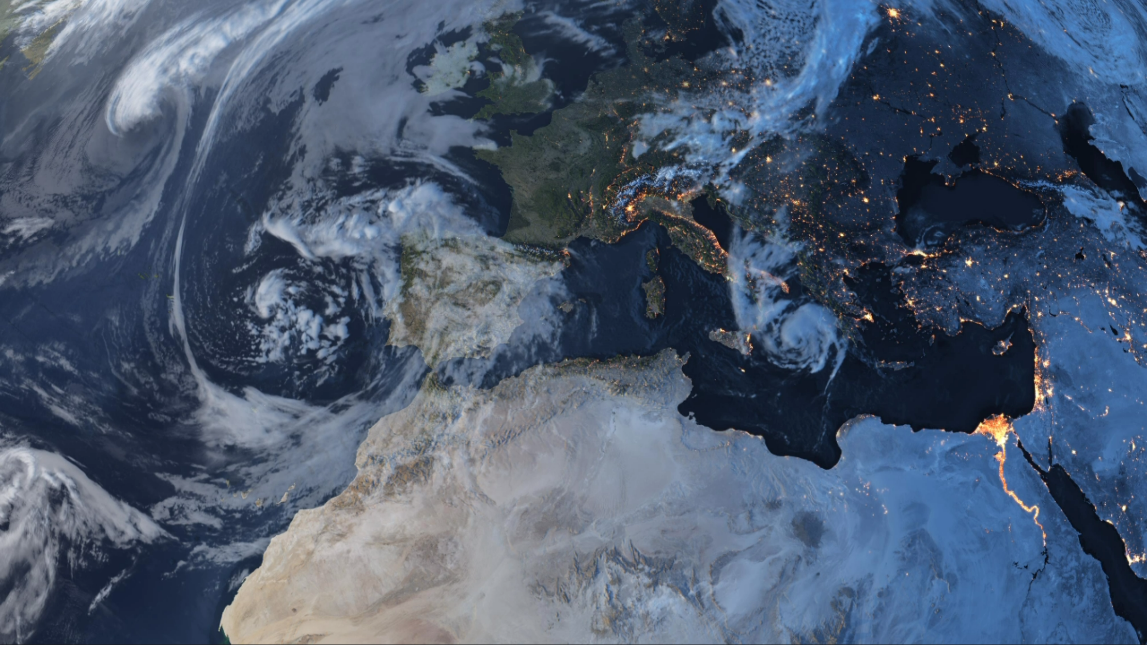
The world is changing. Earth observation enables us to record and monitor these changes, and to contribute to a better understanding of diverse processes and their impacts. To this end, we develop methods and algorithms for analysing heterogeneous (Earth observation) datasets; we implement these in processors; we develop geoinformation technologies; and we devise socio-technical approaches to make information accessible to the scientific community, public authorities, industry, policymakers and the general public.
We publish our findings and make them available to the scientific community, industry and the public. Furthermore, we support the transfer of technology and knowledge through collaboration with companies and government bodies.
The department’s work is integrated into national, European and international collaborations and is carried out in close consultation with the respective user organisations. Furthermore, the department takes the lead in running the Centre for Satellite-based Crisis Information (ZKI) in collaboration with other EOC institutions.
The department is divided into the following working groups:
Contact
Prof. Hannes Taubenböck
Head of Department
German Aerospace Center (DLR)
German Remote Sensing Data Center (DFD)
Geo-Risks and Civil Security
Oberpfaffenhofen, 82234 Weßling