
OpAiRS
The Optical Airborne Remote Sensing & Calibration Homebase (OpAiRS) user service operates aircraft-borne sensor systems for optical remote sensing and also makes these available to external users from science and industry as part of cooperation projects. The aim is to provide high-quality remote sensing data along the entire process chain – from the measurement campaign to the higher-value data product. In addition to airborne systems, OpAiRS operates a range of field instruments that are used both to validate aircraft measurements and to support data evaluation.

The ISO 9001-certified service (since 2007) is provided by the DLR Institute of Remote Sensing Methodology (IMF) in close cooperation with the DLR Flight Experiments facility and covers all steps of data acquisition, processing and archiving.
With over 20 years of experience in airborne optical remote sensing, the IMF has extensive expertise in the use of imaging spectrometers such as DAIS 7915, ROSIS and HyMap. Since 2011, this success story has been consistently continued by the OpAiRS user service with various HySpex systems from Norsk Elektro Optikk (NEO) – as a reliable basis for excellent hyperspectral data products.
Services along the entire system chain
OpAiRS offers comprehensive support for measurement campaigns and data products:
- Planning, organisation and implementation of measurement campaigns in cooperation with the DLR Flight Experiments facility
- Processing of recorded raw data
- Radiometric and geometric calibration as well as correction of sensor-specific artefacts (keystone, smile, stray light) based on laboratory characterisation in the Calibration Homebase (CHB)
- Atmospheric correction and orthorectification using software tools developed at the EOC
- Long-term archiving of data in the DLR's German Satellite Data Archive
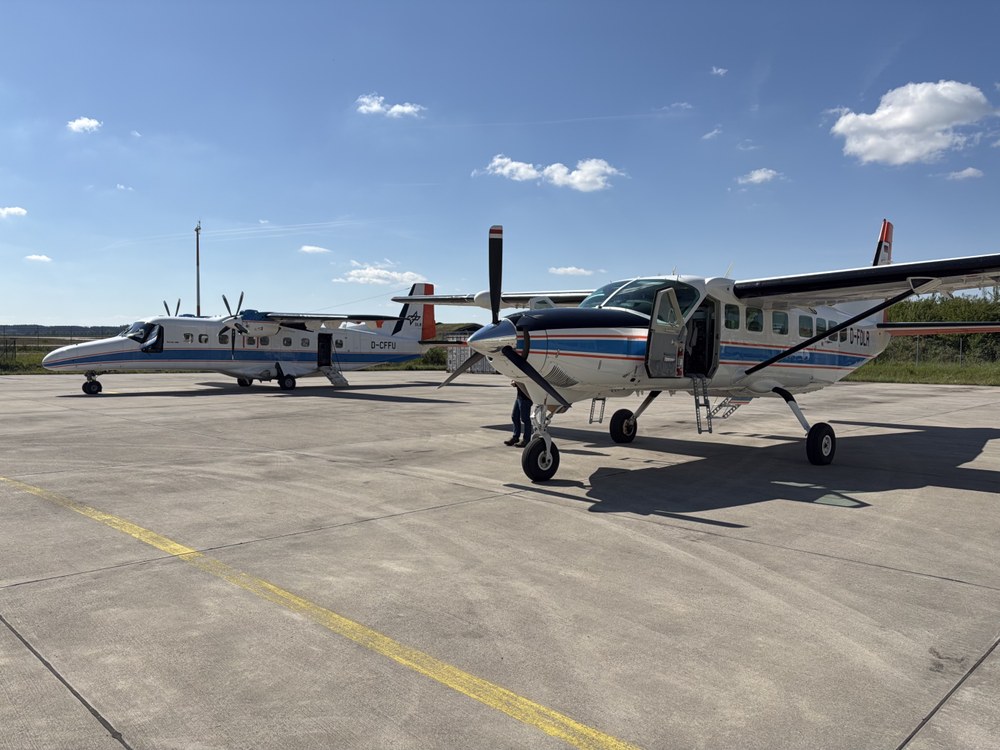
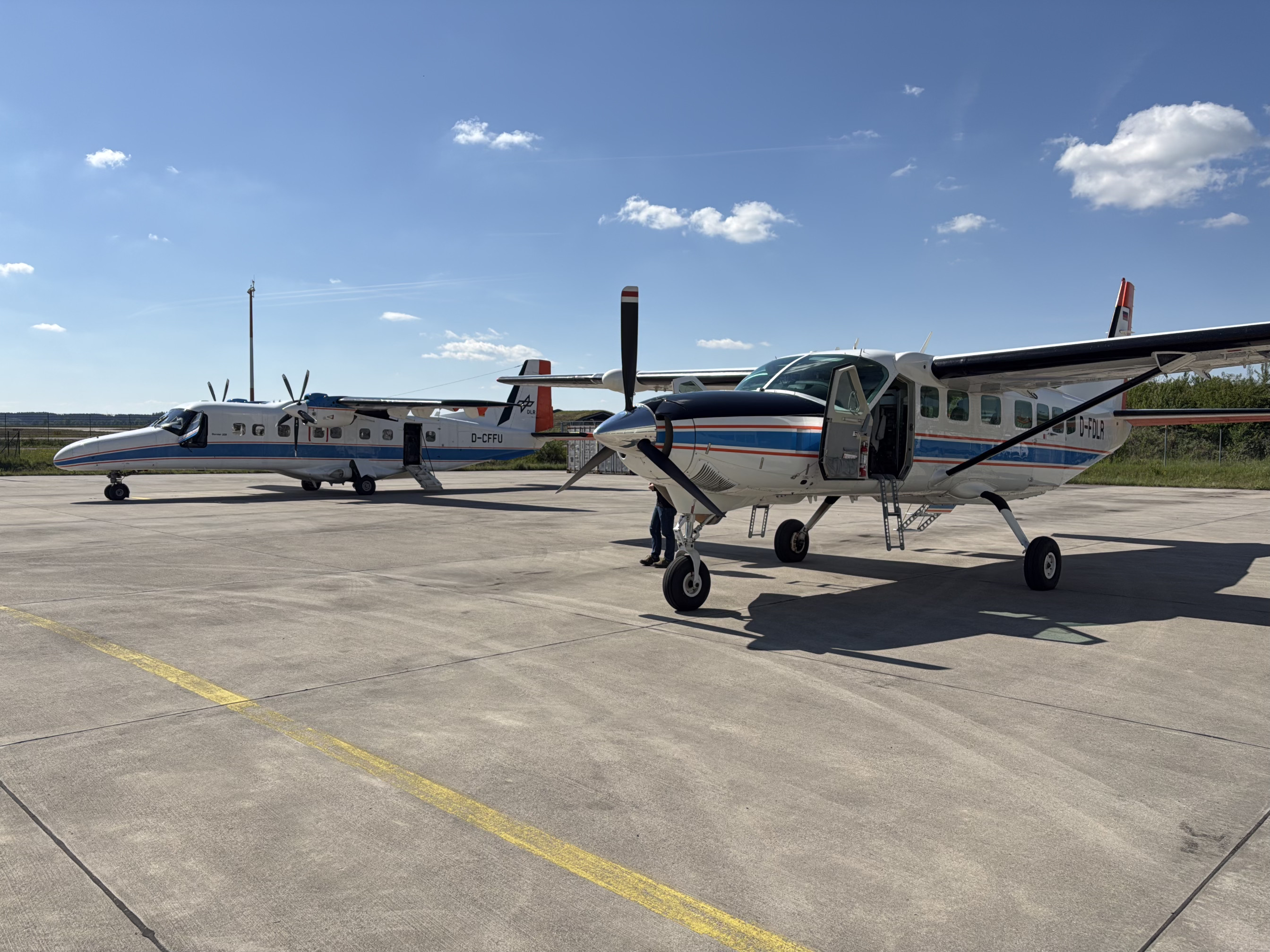
Airborne sensor systems
Hyperspectral remote sensing with HySpex
With the HySpex hyperspectral sensor, the DLR Institute of Remote Sensing Methodology (IMF) offers a powerful platform for state-of-the-art airborne remote sensing. The imaging spectrometer system captures high-resolution hyperspectral data and provides detailed insights into processes on the Earth's surface and in the atmosphere. A key area of application for HySpex is the development, testing and validation of new remote sensing techniques. The high-quality aerial image data is used both to prepare future satellite missions and to calibrate and validate ongoing missions such as EnMAP. HySpex provides crucial information on the vitality of vegetation, the composition of water bodies and atmospheric parameters such as methane sources or water vapour content. The data is ideal for environmental monitoring, climate research, resource management and numerous other applications.
The sensor system combines two cameras from the Norwegian manufacturer HySpex – VNIR-3000N and SWIR-384 – and covers the spectral range from 400 to 2500 nanometres. This captures most of the light reflected by the sun – the basis for precise, quantitative analyses.
High-resolution RGB aerial image data
The PhaseOne iXM-RS150F industrial camera is also used as an optical sensor. It is part of the helicopter-based 4k/VABENE aerial camera system and, at a flight altitude of 1000 m above ground level, delivers RGB images with a geometric resolution of 4.2 cm. This data is suitable for analysing damage situations, generating highly accurate 3D models and applications in the field of automated driving and traffic research, among other things.
Precise data acquisition and high data quality
All airborne sensors are installed on a stabilised platform that enables synchronised recording. This allows the data sets to be directly compared and combined. High-precision georeferencing using a modern navigation system reduces image distortion and contributes significantly to high data quality.
Many years of expertise and innovation
With over 20 years of experience in airborne optical remote sensing, the IMF has extensive expertise in the use of imaging spectrometers such as DAIS 7915, ROSIS and HyMap. Since 2011, this success story has been consistently continued by the OpAiRS user service with various HySpex systems from Norsk Elektro Optikk (NEO) – as a reliable basis for excellent hyperspectral data products.
The combination of hyperspectral HySpex data with high-resolution aerial imagery also enables the development of innovative data fusion methods and makes an important contribution to modern Earth observation.
Further links:
- Optical Calibration Laboratory: Calibration Home Base
- HySpex by NEO: HySpex | Industry-Leading Hyperspectral Solutions
- 4k/VABENE Camera System: Aerial Camera Systems
- Automated Data Processing with the CATENA Processing Environment Developed at the EOC: CATENA
- Atmospheric correction and orthorectification with the Ortho and ATCOR tools developed at the EOC: Atmospheric Correction
- DLR Flight Experiments Facility: Flight Operations & Flight Facility Oberpfaffenhofen
Downloads
- HySpex Product Guide (651.3 KB)