OptiMED-Water: Optimizing Water Management for Cultivated Lands through Remote Sensing Analyses and Climate Scenarios
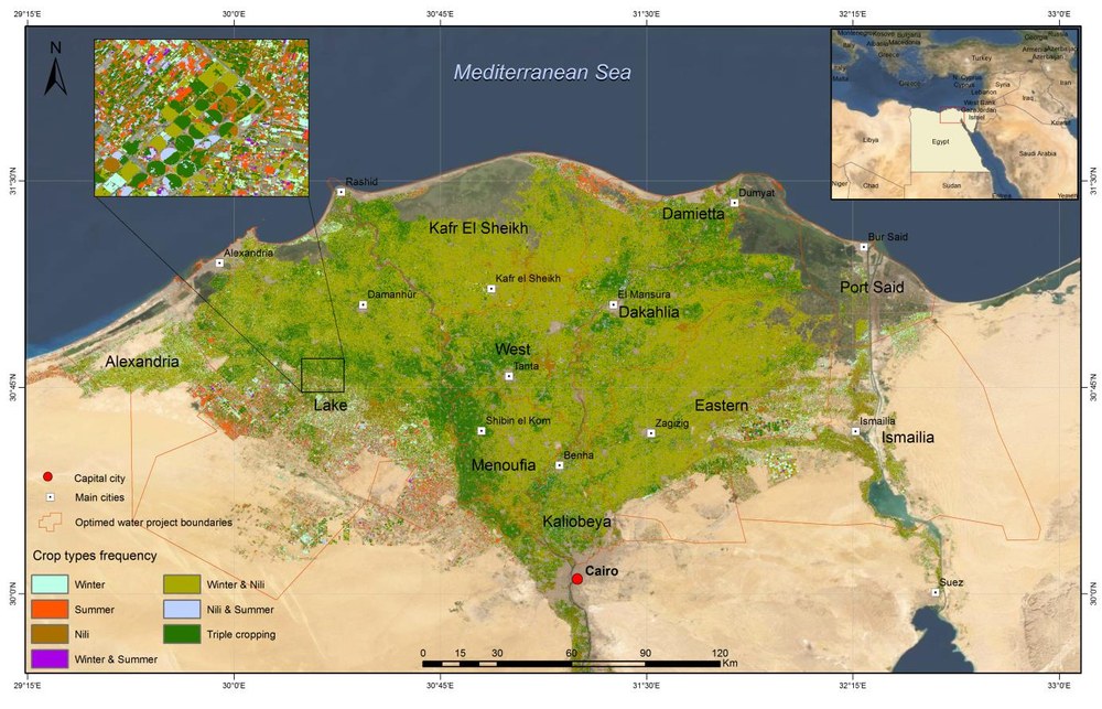
This project aims to overcome the lack of local and regional information on the main parameters of water and carbon cycles (as soil moisture, vegetation biomass and crop water status) by using the potentials offered by new satellite systems in both microwave and optical domain and advanced modeling. The overarching goal of Optimed-Water is to define an optimized management of water resources for cultivated lands on the Egyptian Delta (Northern part) and Tunisian territory.
For this purpose the project incorporates free available satellite data (both optical and microwave) for monitoring vegetation cover and water status along with soil moisture temporal evolutions in order to improve the knowledge of the water cycle in arid areas. Both local and regional monitoring is carried out in order to investigate different spatial scales. Environmental models and algorithms for the retrieval of hydrological parameters have been developed in the frame of this project in order to match the main goal of the project, i.e. to propose practical and cost-effective solutions for driving and updating a method for the sustainable use of water in agriculture.
Besides DLR, four other partners from Italy (IFAC-CNR), Tunisia (INAT, TEAM/IRA) and Egypt (CU-CLAC) are involved in the international project.

