
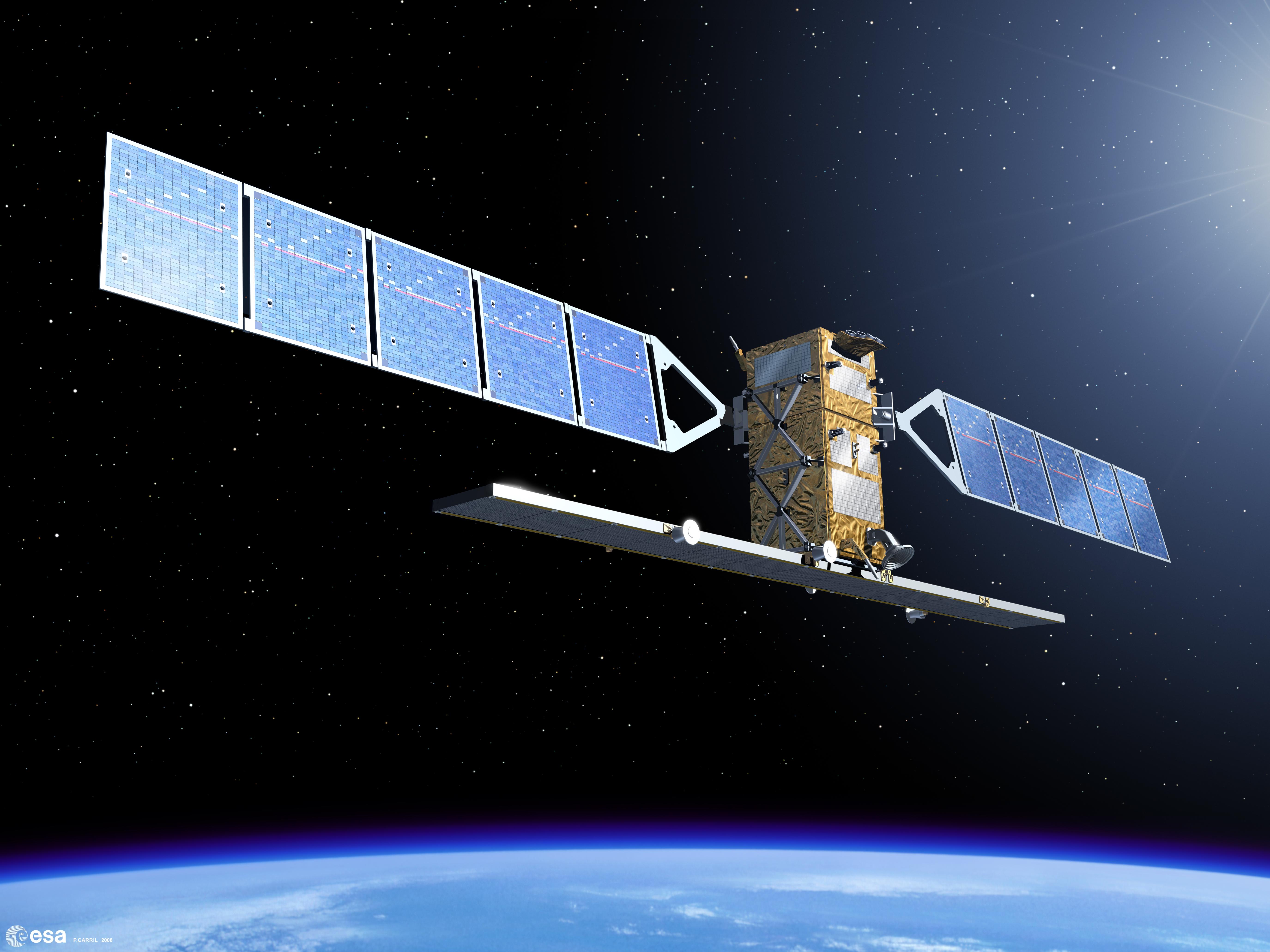
The Copernicus Sentinel satellites
The series of current Sentinel satellites and their applications
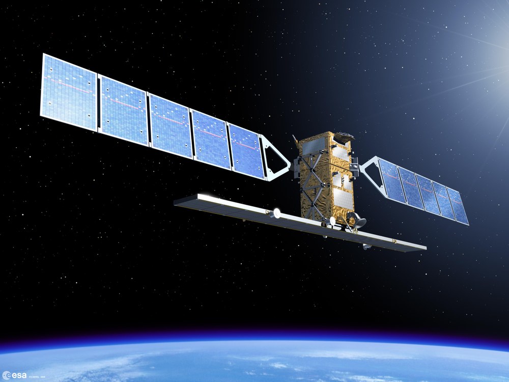

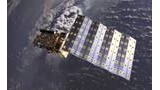
Sentinel-1/ 2014 C-Band Synthetic Aperture Radar (SAR); 5 m – 40 m Auflösung
Ozean und Eis-Monitoring, Gletscherfließgeschwindigkeiten- Überwachung, Schnee-Klassifikation, maritime Beobachtung, Schiffs- und Öldetektion, Wind- und Seegangsinformationen, Bodenfeuchte, Bodenbewegung (Interferometrie, u.a. in Erdbeben- und Vulkanregionen), Hochwasser-Monitoring
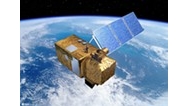
Sentinel-2/ 2015 MSI (Multi Spectral Instrument) 13 spectral bands 10 m, 20 m and 60 m spatial resolution
European, wide coverage, high resolution superspectral mission for land observation data continuity, e.g., agricultural monitoring, areal extent of fires
Credit:
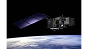
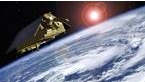
Sentinel-3/ 2016 OLCI (Ocean and Land Colour Instrument); 21 spectral bands at 300 m resolution SLSTR (Sea and Land Surface Temperature Radiometer); SRAL (Radar Altimeter); MWR (Microwave Radiometer)
European global land and ocean mission, global coverage every 2 days. For land and ocean monitoring, e.g., recording of areal extent of fires and sea level fluctuations, water surface temperature mapping
Credit:

Sentinel-4/ 2022 (geostationär) UVN Instrument: high resolution spectrometer (305-400 nm) (400-500 nm) (750-775 nm) 8 km spatial resolution
Continuous monitoring of atmospheric trace gases over Europe (geostationary). Trace gases such as O3, NO2, SO2, HCHO, aerosols with high temporal resolution (~ 1 hour)
Credit:
Sentinel-5/ 2017 UV-VIS-NIR-SWIR TROPOMI spektral range: 270-495 nm, 710-775 nm, 2305-2385 nm ground resolution: 7x3,5 km²
Customized global monitoring of the atmosphere and its trace gases at high geometric resolution. Trace gases such as O3, NO2, SO2, HCHO, aerosols. Precursor mission to Sentinel-5
Credit:
Sentinel-5 Precursor/ 2021 high resolution spectrometer spectral range: 270-370 nm, 370-500, 685-773 nm, 1590-1675 & 2305-2385 nm ground resolution: 7x3,5 km²
Customized global monitoring of the atmosphere and its trace gases at high geometric resolution. Trace gases such as O3, NO2, SO2, HCHO, aerosols
Credit:
Sentinel-6/ 2020 Poseidon-4 (SAR Radar Altimeter) AMR-C (Climate-quality microwave radiometer)
Continuity of high-precision measurement of ocean surface topography to obtain data on changes to climate and environment
Credit:
HPCM | Name and Purpose |
|---|---|
CO2M | COPERNICUS ANTHOPOGENIC CO2 MONITORING MISSION |
LSTM | LAND SURFACE TEMPERATURE MONITORING |
CHIME | COPERNICUS HYPERSPECTRAL IMAGING MISSION FOR THE ENVIRONMENT |
CIMR | COPERNICUS IMAGING MICROWAVE RADIOMETER |
CRISTAL | COPERNICUS POLAR ICE AND SNOW TOPOGRAPHIC MISSION |
ROSE-L | RADAR OBSERVATORY SYSTEM FOR EUROPE IN L-BAND |