
Flooding in Southern Germany
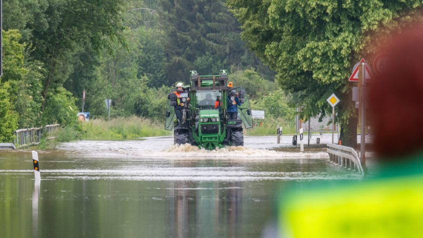

Prolonged and heavy rainfall since 30th May 2024 caused water levels to rise sharply in southern Germany, especially in the border region of Baden-Württemberg and later in Bavaria. The resulting floods were spread over a large area, especially in Swabia and in the upper Danube region, so that numerous relief measures were required, including from the Bavarian Red Cross (BRK), the THW, the DLRG and the German Armed Forces. The ZKI supports the work of the authorities and aid organisations with various products. Initially, flood masks were derived from Sentinel-1 images using automated flood processors at DLR (raster files available for download below), calculated to the best of our knowledge and belief and within a very short time frame using the available material. The web application is continuously updated and supplemented with new data sets. As part of the IFAS project ("Indicator monitoring for early detection of innovative satellite sensors in the event of natural disasters"), European Space Imaging also provided high-resolution umbra radar data. Flood areas are also derived from this for individual hot spots.
Further results of the radar data analyses will soon be available both as maps and as downloadable layers on the mapping website.