Center for Satellite Based Crisis Information
The Center for Satellite Based Crisis Information (ZKI®) was founded in 2004 and is a service of the German Remote Sensing Data Center (DFD) at the German Aerospace Center (DLR). The ZKI focuses on innovations, in particular in the field of earth observation in crisis management, which are developed in collaboration with users. These services can also be provided operationally, in some cases via ISO-certified processes. Another focus is on advising and training end users and service providers.
For these tasks, earth observation data, such as satellite, aerial and drone images, as well as other (geo)data are analyzed using innovative methods and processed in a user-friendly way - especially for the application areas of emergency mapping (e.g. floods), civil security, humanitarian aid and general support for authorities.
For 20 years, the ZKI has been successful through, among other things:
- the provision of satellite data and its products for the International Charter for Space and Natural Disasters;
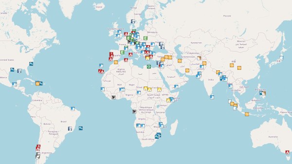
- the conception and provision of remote sensing-based information, for example as a situation maps, monitoring service ( for example ZKI fire service) or in other formats for humanitarian or official actors. This information contains current DLR research results and is made available via established services (over 1500 information products since 2004);
- the development and operation of the European Copernicus Emergency Management Service (CEMS). The service was successfully transferred to industrial partners;
- the development and operation of a national remote sensing service for federal authorities on behalf of the Federal Ministry of the Interior. Following successful qualification and transfer, the service will be continued at the Federal Agency for Cartography and Geodesy as the Satellite-based Crisis and Situation Service (SKD).
The German Aerospace Society (DGLR) awarded ZKI the "German Space Agency Badge of Honor" for its "outstanding achievements in the use of Earth observation data to support crisis management worldwide after natural disasters and in humanitarian aid".


