
Fire Monitoring System
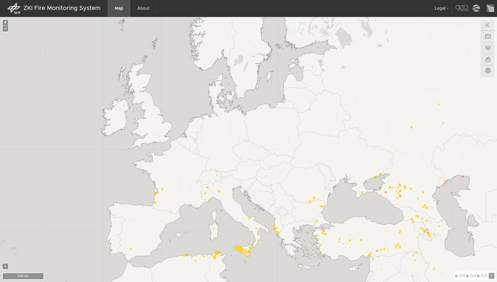

DLR's "ZKI Fire Monitoring System" provides up-to-date information on forest fires in Europe over the last 31 days. Based on satellite images from MODIS and Sentinel-3 OLCI, a fully automated approach has been developed to monitor burned areas and their spatial evolution in real time. This approach has been integrated into an operational processing chain and allows several updates per day using medium resolution satellite data. The information system allows an interactive analysis of current forest fires in any user-defined area.
The daily research products show the outlines of burned areas a few minutes after the satellite images become available. The MODIS sensor is on board NASA's Terra-1 and Aqua-1 satellites and receives data from DLR ground stations in Neustrelitz and Oberpfaffenhofen (Germany) via direct transmission during each satellite overpass. For Copernicus Sentinel-3 data, the data distribution mechanism of the Copernicus Data Space Ecosystem (CDSE) is used.
The burned area research products are iteratively and automatically updated over a 10-day period as new satellite data becomes available. This enables a continuous improvement of the derived fire outlines by minimizing disturbing factors such as cloud cover, smoke plumes and shadows. However, it is important to note that no manual quality control is performed on the automatically detected fire areas. In addition, no distinction is made between forest fires, environmental or controlled burns. Also, due to the average geometric resolution of the available satellite images of 250 meters (MODIS) and 300 meters (Sentinel-3 OLCI), small fires may not be detected.
Access
The ZKI Fire Monitoring Viewer can be accessed via the following address: https://services.zki.dlr.de/fire/
All research data products based on the two satellite systems are also published on the EOC Geoservice:
References
Nolde, M.; Plank, S.; Riedlinger, T. (2020): An Adaptive and Extensible System for Satellite-Based, Large Scale Burnt Area Monitoring in Near-Real Time.- In: Remote Sensing 2020, 12, 2162. https://doi.org/10.3390/rs12132162
Nolde, M.; Mueller, N.; Strunz, G.; Riedlinger, T. (2021): Assessment of Wildfire Activity Development Trends for Eastern Australia Using Multi-Sensor Earth Observation Data.- In: Remote Sensing 2021, 13, 4975. https://doi.org/10.3390/rs13244975