The Remote Sensing Technology Institute (IMF)
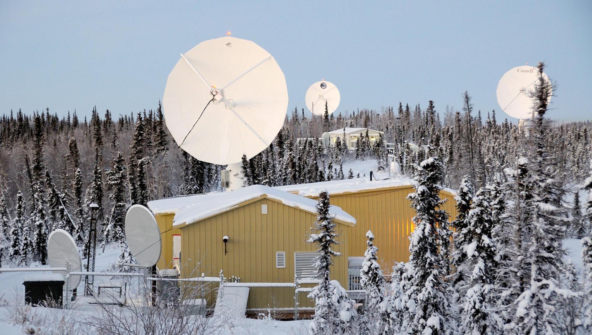
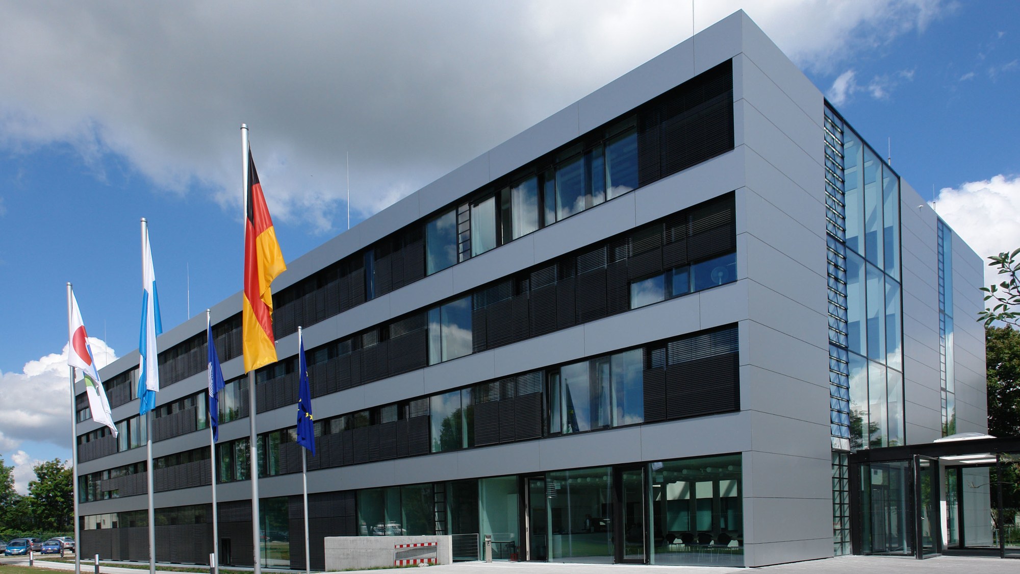
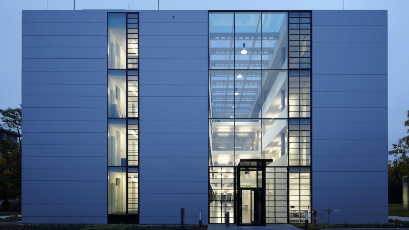
The Remote Sensing Technology Institute (IMF) is an institute of the German Aerospace Center DLR. It is located in Oberpfaffenhofen (near Munich), Berlin-Adlershof, Neustrelitz (Mecklenburg-Vorpommern) as well as an office in Bremen. IMF and the German Remote Sensing Data Center (DFD) together comprise the Earth Observation Center EOC – a center of competence for earth observation in Germany.