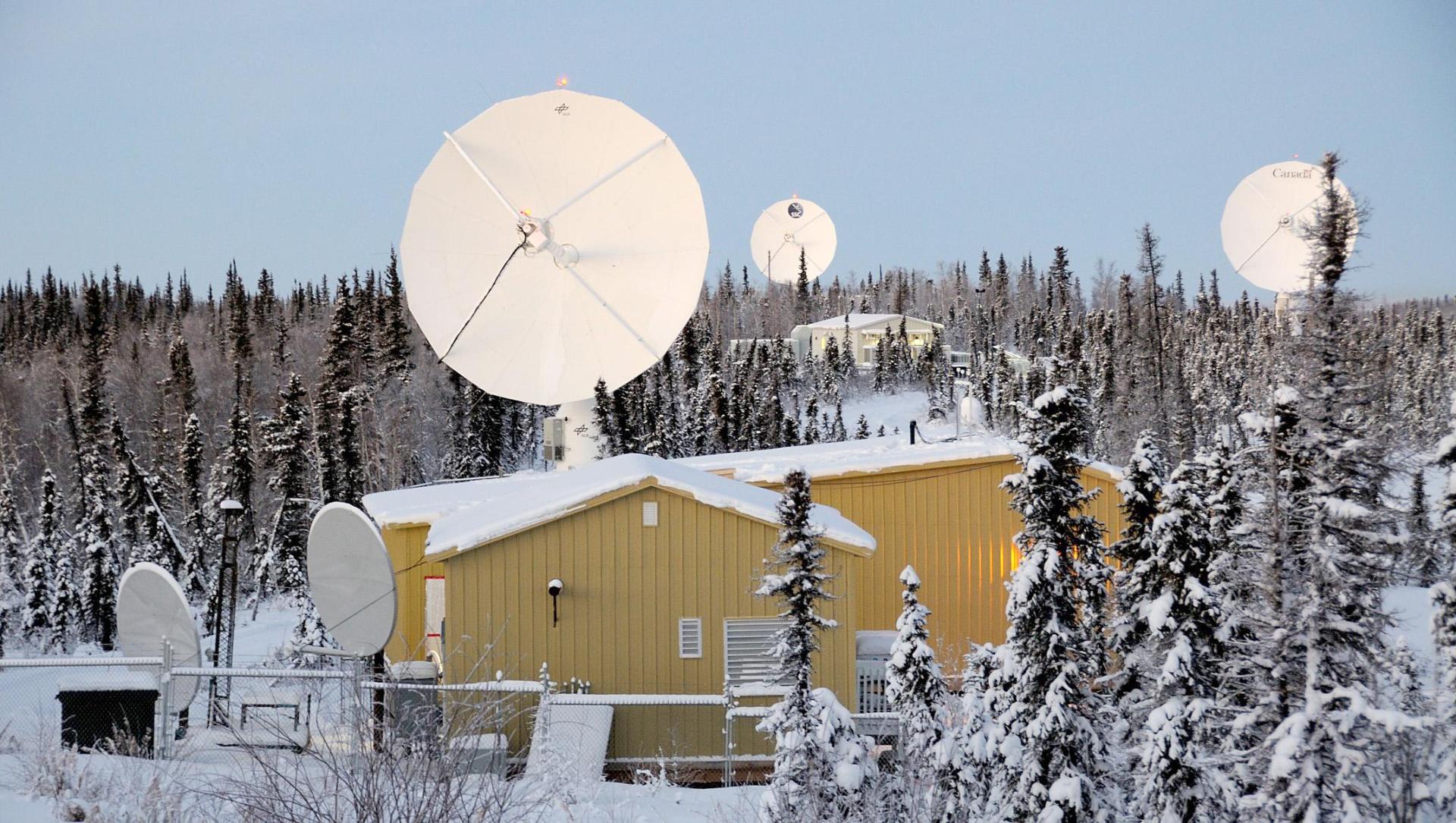
Das Deutsche Fernerkundungsdatenzentrum (DFD) ist ein Institut des Deutschen Zentrums für Luft- und Raumfahrt (DLR) mit Standorten in Oberpfaffenhofen bei München und Neustrelitz in Mecklenburg-Vorpommern. Zusammen mit dem Institut für Methodik der Fernerkundung (IMF) bildet das DFD das Earth Observation Center EOC – das Kompetenzzentrum für Erdbeobachtung in Deutschland.
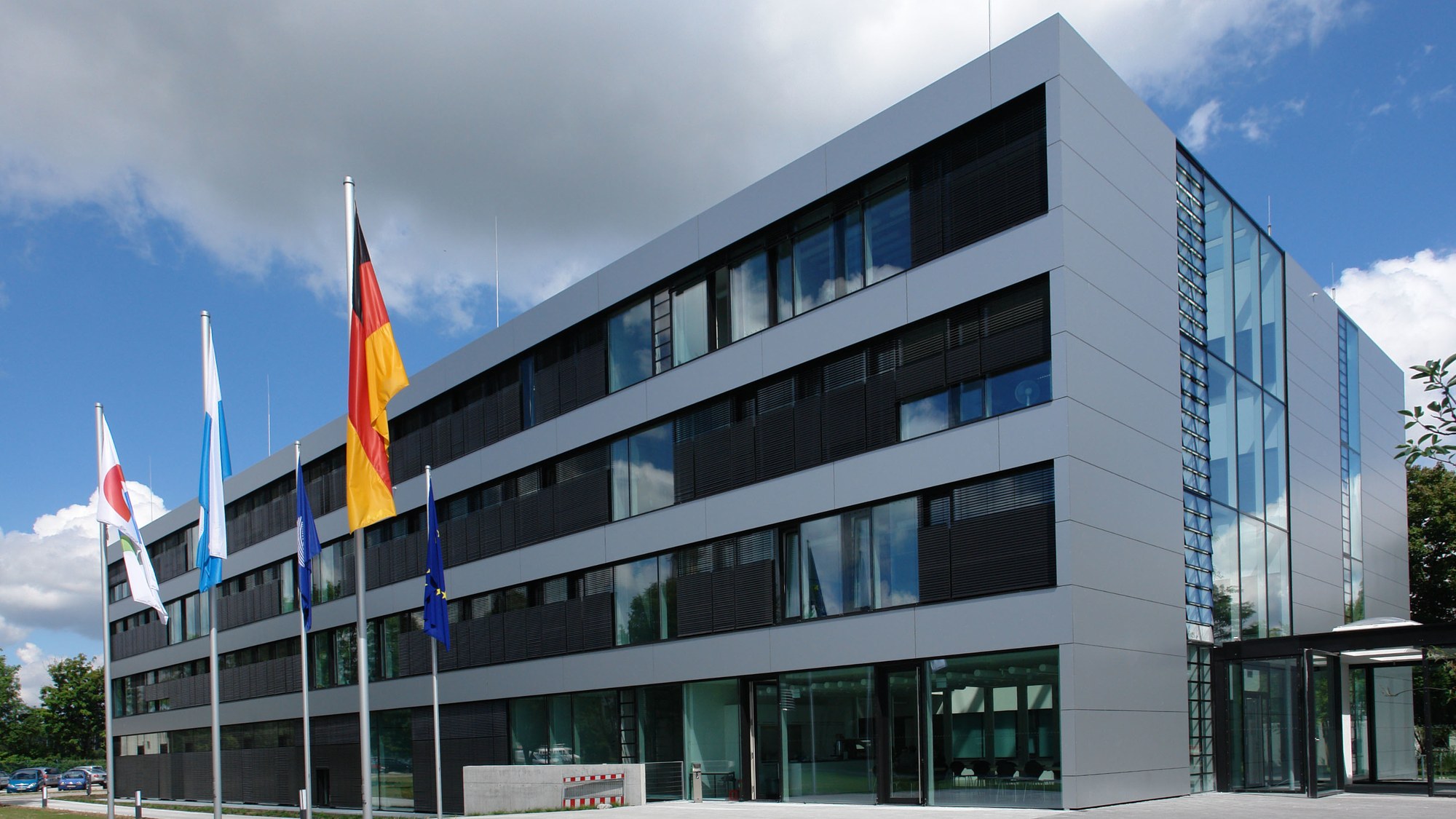
Das Institut für Methodik der Fernerkundung (IMF) ist ein Institut des Deutschen Zentrums für Luft- und Raumfahrt (DLR) mit Standorten in Oberpfaffenhofen bei München, Berlin-Adlershof, Neustrelitz sowie einer Außenstelle in Bremen. Zusammen mit dem Deutschen Fernerkundungsdatenzentrum (DFD) bildet das IMF das Earth Observation Center EOC – das Kompetenzzentrum für Erdbeobachtung in Deutschland.
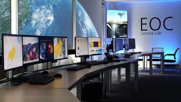
The German Remote Sensing Data Center (DFD) is an institute of the German Aerospace Center (DLR) with facilities in Oberpfaffenhofen near Munich and in Neustrelitz in the state of Mecklenburg – Western Pomerania. DFD and DLR’s Remote Sensing Technology Institute (IMF) together comprise the Earth Observation Center EOC, which has become a center of competence for earth observation in Germany.
The Remote Sensing Technology Institute (IMF) is an institute of the German Aerospace Center DLR. It is located in Oberpfaffenhofen (near Munich), Berlin-Adlershof, Neustrelitz (Mecklenburg-Vorpommern) as well as an office in Bremen. IMF and the German Remote Sensing Data Center (DFD) together comprise the Earth Observation Center EOC – a center of competence for earth observation in Germany.
EOC offers term employment for work on specific projects to students, scientists and junior scientists. Payment is according to Germany's "Tarifvertrag für den öffentlichen Dienst" (TVöD).
The Earth Observation Center (EOC) closely cooperates with universities, not only with respect to research, but also education.