AerialRefMatch: A benchmark dataset for testing matching algorithms
AerialRefMatch: A benchmark dataset for testing matching algorithms
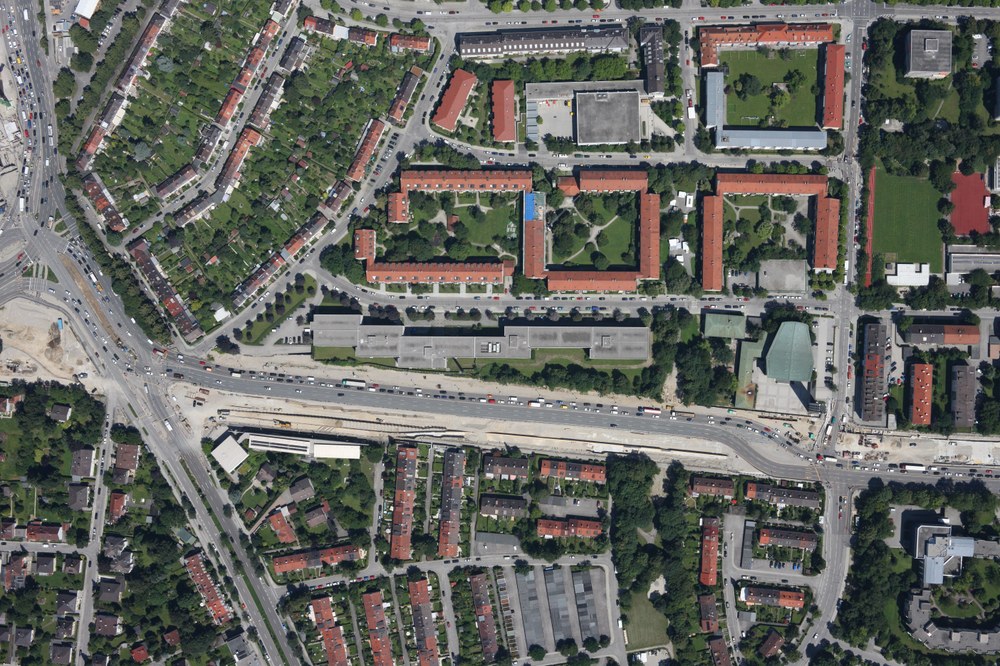
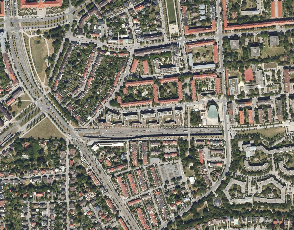
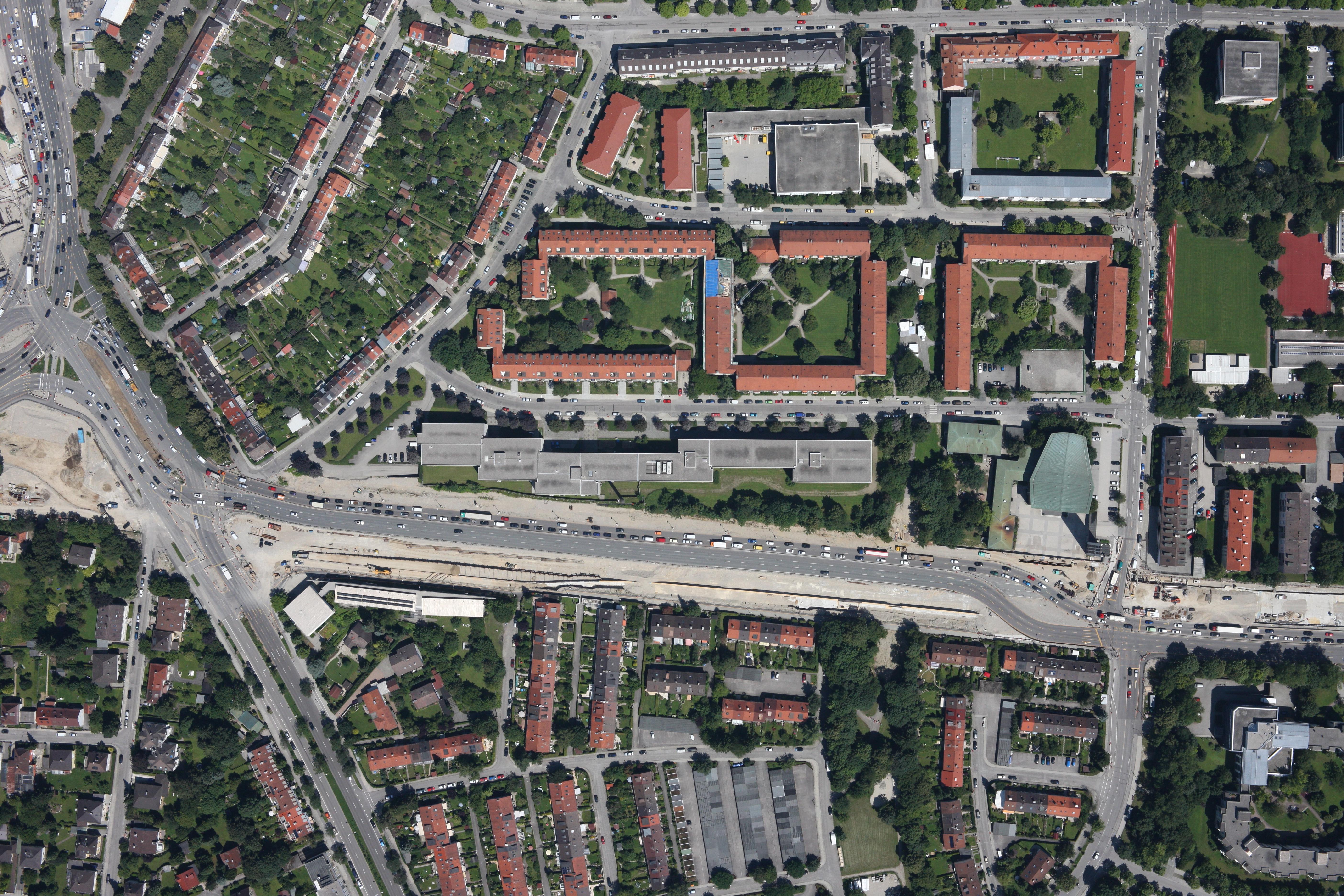
Accurate image matching is essential for the precise orientation of airborne imagery, yet modern feature matchers are rarely evaluated on real aerial data with great temporal, seasonal, and radiometric changes. For this study, we introduce the AerialRefMatch dataset, which comprises 51 challenging aerial images and corresponding true-ortho reference data. We benchmark classical and deep learning–based matching algorithms on AerialRefMatch, considering two scenarios: matching original images and matching approx-orthorectified images generated using GNSS/IMU orientations. For each method, image-based ground control points are derived and used for single-image pose estimation; accuracy is assessed via independent checkpoints.
You can find more details about the dataset in the paper.