DLR releases satellite images of Japanese disaster area
March 12, 2011
DLR releases satellite images of Japanese disaster area
After the severe earthquake and subsequent tsunami, the International Charter Space and Major Disasters asked all participating institutions to provide satellite data from the disaster area on the morning of March 11, 2011. The German Aerospace Center (DLR) and the Center for Satellite Based Crisis Information (ZKI) at the DLR site in Oberpfaffenhofen are also involved.
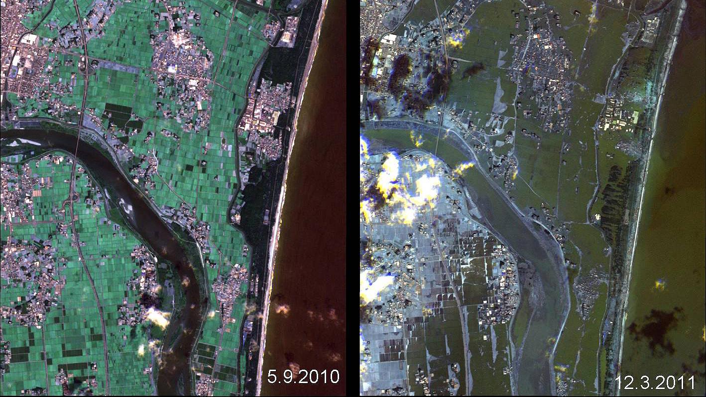
Tsunami-Zerstörungen in Japan: Vorher-Nachher-Vergleich
Dieses Bild zeigt die Auswirkungen des Tsunamis in einem Vorher-Nachher-Vergleich der japanischen Küste zwischen dem 5. September 2010 und dem 12. März 2011 (rechts). Daten: Rapid Eye.
"The images from the German TerraSAR-X and RapidEye satellites and the data from the American WorldView-2 satellite show the full extent of the disaster," explains Stefan Voigt, scientist at the German Aerospace Center. "The advantage of the satellite data lies in the large-scale recording of the damage situation. At the same time, we can map details with a spatial resolution of up to 50 centimetres. In the maps we have created, you can see that the tsunami has penetrated four to five kilometers inland in places. We can clearly see the severe damage to roads, bridges, buildings and infrastructure facilities. This is important information for the aid workers on the ground. We are working closely with the THW here."
The ZKI scientists and engineers began their work immediately after receiving the Charter's request for assistance. In close coordination with the control center and the commercial satellite operators, the available satellites were aligned with the disaster areas. Since the charter was triggered, the enormous amounts of data have been received, processed, analyzed and the first map products created. Archive data serves as a reference. The damage analysis and situation presentation are based on the newly acquired satellite images.
The Center for Satellite Based Crisis Information (ZKI)
The task of the ZKI is to provide a "24 hours, 7 days" service for the rapid procurement, processing and analysis of satellite data in the event of natural and environmental disasters, for humanitarian aid activities and for civil security worldwide. The ZKI operates in a national and international context and is closely networked with various governmental partners, non-governmental organizations, satellite operators and space organizations. In the various phases before, during and after a disaster, the ZKI makes a wide range of contributions to rehabilitation and reconstruction, early warning and risk assessment, and in particular to operational disaster management. In the event of major humanitarian emergencies, international aid measures are supported by the provision of user-specific map material.
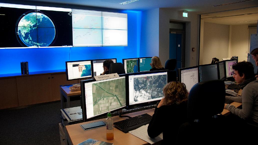
Blick ins Zentrum für Satellitengestützte Kriseninformation des DLR
Nach dem schweren Erdbeben und dem folgenden Tsunami hat die "International Charter Space and Major Disasters" am Morgen des 11. März 2011 alle beteiligten Einrichtungen gebeten, Satellitendaten des Katastrophengebietes zur Verfügung zu stellen. Daran beteiligt ist auch das Deutsche Zentrum für Luft- und Raumfahrt (DLR) mit dem Zentrum für Satellitengestützte Kriseninformation (ZKI) am DLR-Standort Oberpfaffenhofen.


