ROSCOSMOS joins "International Charter Space and Major Disasters"


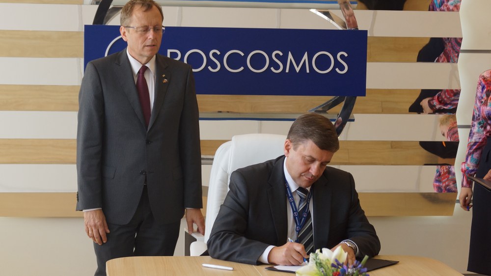
In a formal ceremony at the International Aviation and Space Salon MAKS in Moscow on 28 August 2013 the Russian space agency ROSCOSMOS signed a declaration on membership in the "International Charter Space and Major Disasters". The Charter is the framework for an international network of so far 15 space agencies that make available at short notice satellite images of regions affected by major disasters anywhere in the world. The German Aerospace Center (DLR) currently exercises the role of lead agency for the Charter.
"With ROSCOSMOS we gain another important member of the International Charter Space and Major Disasters", the chairman of the DLR executive board, Prof. Johann-Dietrich Wörner, was happy to announce." During international relief campaigns the Russian satellites help us to promptly provide crisis management groups in disaster areas with satellite data of even better coverage", according to Wörner. The international association has proved its worth: Since the year 2000 the Charter responded to almost 400 disasters, in 2012 alone there were 40 activations.
DLR satellite images for crisis teams in eastern Russia
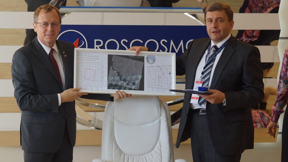
Even before the official signing, DLR assisted the Russian Federal Space Agency in a current emergency: the swollen Amur River is now causing major flooding in eastern Russia. The river has overflown its banks in large areas of the region bordering China. For this reason the Russian disaster response authority activated the Charter on 19 August 2013, which prompted its members to provide a large number of images. DLR supplied scenes recorded by the German radar satellite TerraSAR-X.
"The images are further processed by our colleagues in Moscow to produce maps that are provided to the relief teams," explained Jens Danzeglocke of DLR Space Administration, who coordinates the German contribution to the international network as DLR’s representative in the Charter’s "Executive Secretariat". "Our images clearly show the extent of flooding in the Amur region: in some cases the river is now some 20 kilometers wide", according to Danzeglocke. With the help of the satellite images and the maps derived from them, relief teams can determine which areas are cut off from their surroundings and which roads can still be negotiated.
The flood of the century
With the water level above seven meters, the houses in many villages are submerged up to their roofs in the waters of the Amur. Already at the time of the Charter activation the Russian authorities used the term "flood of the century". The weather service states that if the rains continue into September a water level higher than eight meters could be reached. It has been constantly raining in the region since the end of July.
German participation in the Charter is made possible by the German Federal Ministry of Economics and Technology and jointly implemented by the DLR Space Administration and the German Remote Sensing Data Center, which includes the Center for Satellite Based Crisis Information (ZKI). DLR has been a member of the Charter since 2010 and took over the lead-agency role in April 2013.
The DLR satellite TerraSAR-X has been circling the earth in a polar orbit since 2007 at an altitude of 500 kilometers. Its advantage: independent of time of day and also through the cloud cover its radar instruments can record images that clearly reveal flooded areas. In so-called spotlight mode they have a resolution which can be as high as 1.5 meters.
