From 14-18 August 2017, the German Remote Sensing Data Center (DFD), Land Surface Department, conducted a remote sensing training course at the WWF in Bogota, Colombia. The training took place as part of the IKI project SULU (Land Use Change in Savannahs and Grasslands) funded by the German Federal Ministry for the Environment, Nature Conservation, Building and Nuclear Safety (BMUB). In this project, DLR, in cooperation with the WWF, is developing satellite-based information products for sustainable land management and the conservation of biodiversity in Paraguay and Colombia.
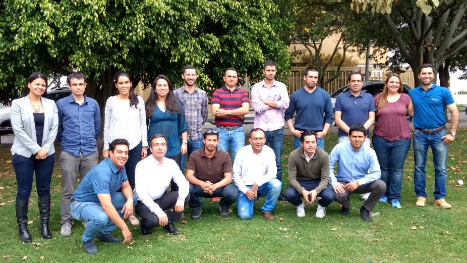
Participants in remote sensing training in Colombia
A scientist from the "Agroecosystems and Phenology" team spent a week training 21 participants from 12 national and international institutions.
The course content included the acquisition and pre-processing of Landsat and Sentinel data from the European Copernicus programme. Furthermore, an introduction was given to general techniques and DLR tools for the thematic analysis of these data sets with regard to land use changes and water dynamics. The aim of the training was to provide the project partners in Colombia with methods and monitoring techniques for their daily work in the context of sustainable land management and nature conservation. The newly learnt techniques now enable the participants to create relevant geoinformation and baseline data and to communicate the findings to decision-makers.
In the further course of the SULU project, which will continue until mid-2019, DFD will organise another remote sensing training course in Paraguay. In addition, an earth observation atlas on land use, ecosystem characteristics and wetland dynamics of the valuable Paraguayan Pantanal ecosystem is to be created.


