
CAWA
The interdisciplinary CAWa project, funded by the German Foreign Office, focuses on the Central Asian region, which comprises Kazakhstan, Kyrgyzstan, Uzbekistan, Tajikistan, and Turkmenistan. CAWa stands for "Water in Central Asia." The innovative goal of the project is to provide cross-border information on water availability and water use.
The project uses satellite remote sensing, hydrological and climatic models, and communication technology, and integrates all data and results from the project in a standardized information system. This innovative information is intended to support Central Asian scientists and decision-makers in developing future scenarios and strategies for sustainable water management.

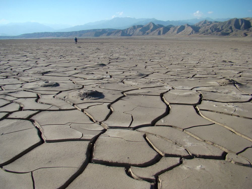
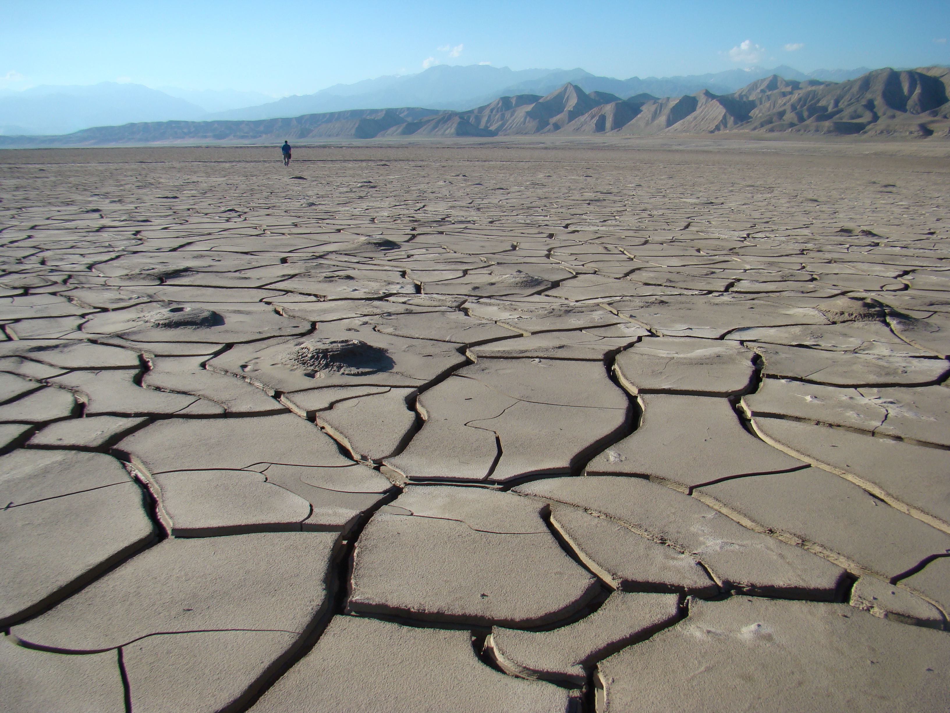
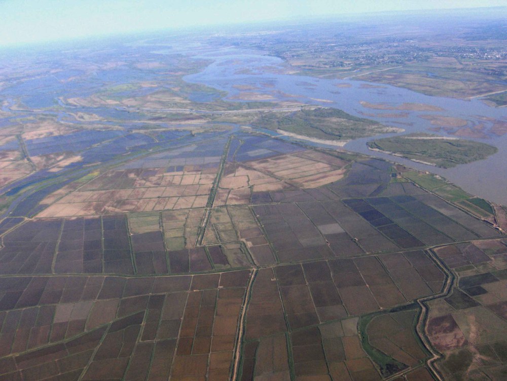
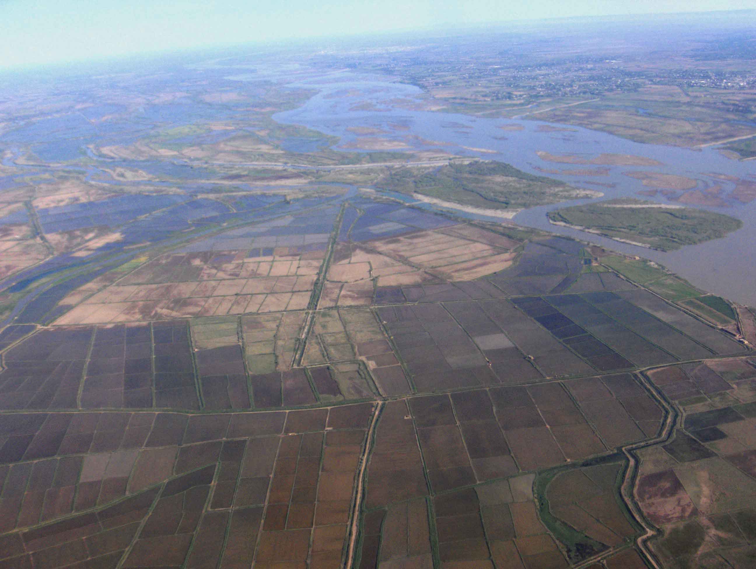
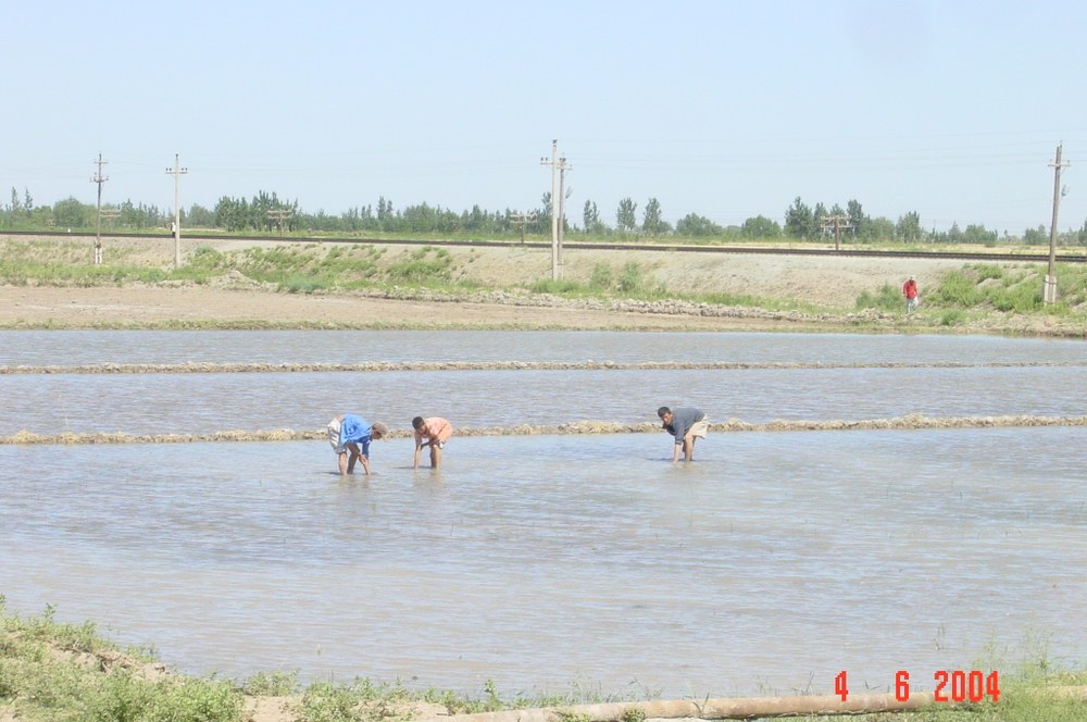
As everywhere else in the world, water is also an indispensable resource for the people living in Central Asia and an essential prerequisite for economic development. However, this precious resource is scarce and unevenly distributed in this region, which is characterized by snow- and glacier-covered high mountains as well as deserts. At the same time, agriculture, industry, and energy supply in different countries compete for water use. This situation will be further exacerbated in the future by climate change and population growth, thereby increasing pressure on natural resources and biodiversity.
It is already clear that the existing conflicts of interest can only be overcome through the joint efforts of all Central Asian countries and by considering the region as a whole. Science is making an important contribution here by providing standardized, comprehensive information and methods for optimized water management.
Six German and seven Central Asian partner institutions are cooperating in the first phase of the CAWa project (2009-2011). A total of over 50 scientists from both sides are involved. Satellite remote sensing focuses on the following topics: spatiotemporal changes in land cover, time series analyses of vegetation parameters and soil moisture, derivation of albedo and leaf area index, monitoring of snow and ice surfaces, analysis of temperature time series, monitoring of changes in irrigated areas and crops, and evapotranspiration. The aim of hydrological modeling is to simulate runoff in three catchment areas under current conditions and future climate scenarios with inputs from regional climate models. Modern hydrometeorological stations are being set up to densify the existing network and make the data directly available via satellite transmission. An information system currently being developed at DLR is being adapted for use in Central Asia in order to integrate all data and results from the CAWa project and present them in a way that meets local needs. Knowledge transfer to experts and managers in the water sector in Central Asia is taking place through training courses with the aim of sustainably improving water management in the region.
The CAWa project is part of the Central Asia Water Initiative ("Berlin Process"), which was launched by the German Federal Foreign Office on April 1, 2008, at the Berlin Water Conference "Water Connects." The initiative represents an offer by the German government to support the countries of Central Asia in water management and to make water the subject of increased cross-border cooperation. The primary goal is to initiate a process of political rapprochement in Central Asia that can lead to increased cooperation in the use of this scarce resource. The "Berlin Process" is open to all stakeholders and is also part of the EU strategy for a new partnership with Central Asia, which was adopted during the German EU Presidency in June 2007. The project partners of the CAWa project work closely with initiatives of the United Nations, the European Union, and the German Agency for Technical Cooperation (GTZ).