
LORe (Situation Assessment for Remote Operation)
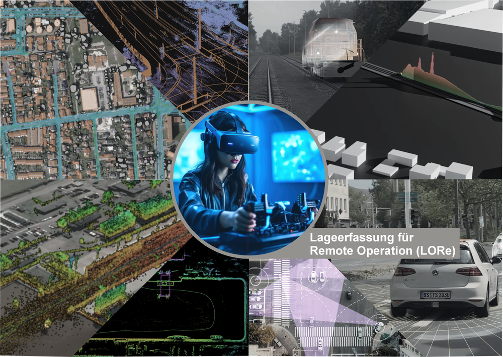


The project LORe (Situation Assessment for Remote Operation) aims to develop a cross-domain situational awareness system to support the remote operation of automated transport systems. Multi-modal data from optical and SAR remote sensing, combined with ground-based and vehicle sensors, are used to derive detailed information on infrastructure status and operational conditions. This data is fused into comprehensive situational pictures for defined regions of interest. The project addresses the road, rail, and maritime transport domains and incorporates security aspects.
The IMF contributes to LORe by providing aerial and satellite SAR imaging and developing tool chains for extracting a wide range of information, including traffic areas and road users from optical data, as well as highly precise object detection and measurement with SAR geodetic processing.