
TOA Reflectance / Brightness Temperature
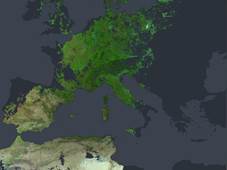
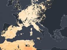
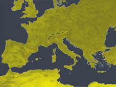
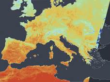
TOA (Top Of Atmosphere) Reflectance is defined as the ratio between the radiant exitance and the irradiance at sensor level at the top of the Earth’s atmosphere. Delivered data is defined as technical albedo, with a value range of 0-100%. This data is sensor-specific, and is based on the NOAA-OSPO calibration. The technical albedos can be transformed to re-calibrated and sensor-invariant TOA reflectances using the TIMELINE harmonization tables. TOA Brightness Temperature is the temperature of a hypothetical blackbody (emissivity = 1). It is obtained by applying the inverse of the Planck function to the measured TOA radiance of a surface.