Data Guide
This page will assist you in finding and retrieving Earth observation data and products held at the DLR Earth Observation Center EOC. For any additional information contact the EOC following the link below.

Earth Observation Data Available at the EOC
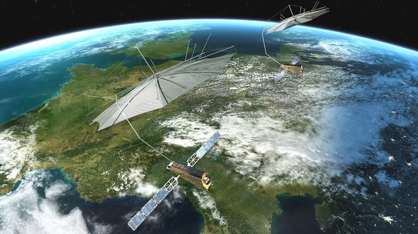
Since the 1990s DLR has been supporting numerous national and collaborative international Earth observation missions. Spaceborne and airborne radar data, optical imagery, atmospheric data as well as a range of value-added products from these missions and from scientific projects are being hosted by the German Satellite Data Archive D-SDA at the EOC and are made available to users.
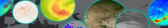
The products include digital elevation models from the SRTM and TanDEM-X missions, current high-resolution radar data from the TerraSAR-X mission, present ionospheric conditions, daily ozone maps, or air quality forecasts.
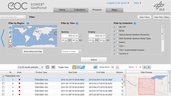
Data Access
The EOC Earth observation data and products are accessible via a number of data portals. While EOWEB-NG is the main portal for discovering and ordering EOC data and products, additional portals provide access to community-specific products. OGC-compliant, convenient data discovery, viewing, and download services are available through the EOC-Geoservice. Most EOC data portals address primarily the needs of the scientific user community. Some, such as the daily weather images, temperature, and ozone maps, are designed for the general interested public.
User Community
As a research organization the EOC primarily supports scientific users of Earth observation data and products. Public service and commercial users, as well as the general public, however, are welcome to access and use the data where the data policy foresees this type of use.
Data Policy
There is no uniform EOC data policy governing the use EOC Earth observation data and products. Instead, missions and projects define their own terms and conditions with the objective to promote widespread use of the data to the extent possible.
German high-resolution Earth observation data, such as TerraSAR-X and TanDEM-X data, are governed by the German Act on Satellite Data Security (SatDSiG) which regulates their use.
For missions and projects conducted in collaboration with partner organizations the conditions of use will reflect the interests of both parties. As an example, only scientific users can receive TerraSAR-X and
TanDEM-X data through the EOC.