
Measurement flights with the Dornier DO 228 for optical remote sensing applications

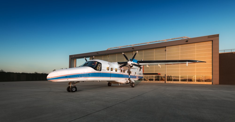
- The DLR research aircraft DO 228-212 (D-CFFU) will fly a series of measurement flights in the Munich area and the Chiemgau Alps in June
- The flights are part of the DLR user service Optical Airborne Remote Sensing (OpAiRS)
- Focus: aviation, space travel, research aircraft, remote sensing
The DLR Optical Airborne Remote Sensing (OpAiRS) user service of the Remote Sensing Technology Institute is carrying out a series of measurement flights in June with the Dornier DO 228-212 (D-CFFU) research aircraft stationed in Oberpfaffenhofen.
The planned measurement flights in the Munich area and the Chiemgau Alps serve to answer various scientific questions.
Firstly, overflights are planned over a measurement area near Puch for the validation of the German satellite mission EnMAP. To this end, measurements will be taken simultaneously with various spectrometer systems from different platforms (satellite, aircraft, ground-based) and then compared. With the help of this data, DLR scientists can determine whether the satellite products meet the quality requirements and also use the data to test and further develop new evaluation methods for future satellite products.
A flight at an altitude of 20,000ft serves to record test and training data for the development of special image evaluation procedures for future camera systems on high-flying platforms (HAP).
Another aim of the measurement flights is to investigate different approaches to record and quantify methane sources more precisely. Finally, an aerial survey of the Saurüsselkopf will provide data for the scientific investigation of burnt areas and the condition of the mountain forest after the fire in early May 2026.