
Integrated Navigation Systems for Space Applications
Spacecraft navigation systems must meet high demands, particularly in terms of accuracy. This requirements is especially critical during highly dynamic flight phases such as ascent, entry, descent, and landing. To address this challenge, data from various sensors are combined to leverage the strengths of each instrument. For most applications, an Inertial Measurement Unit (IMU), consisting of individual inertial sensors, is used to directly measure the accelerations and rotation rates experienced by the vehicle. These sensors typically support very high data rates enabling the detection of rapid changes in velocity, position, and attitude. During integration, any measurement errors will accumulate over time, causing the calculated values to drift away from the actual values.

One approach to reducing these accumulated errors is to combine inertial measurements with data from other sensors capable of directly measuring position attitude, or velocity. The combination of different types of sensors through data fusion algorithms is known as an integrated or hybrid navigation system.
For terrestrial applications, IMUSs are often paried with position-determining sensors based on the Global Navigation Satellite System (GNSS) e.g. the Global Positioning System (GPS). For space applications near Earth, GNSS may also be used, often complemented by additional sensors, such as star trackers, to enhance data fusion.
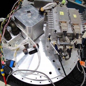
The department of Guidance, Navigation, and Control Systems has developed a hybrid navigation system for space transportation vehicles that either launch out of Earth's atmosphere, reenter it, or perform both actions, such as reusable launch vehicles or return verhicles. An initial experimental version of this system was tested in 2012 on the SHEFEX II mission. This systems combines measurements from an IMU with data from a GPS receiver and an experimental star tracker into a comprehensive navigation solution. The SHEFEX II sounding rocket mission, launched in June 2012, demonstrated that the system performed as designed, with results meeing performance expectations.