We develop new communications, localization, and sensing concepts and techniques to protect vulnerable road users (VRU) - towards zero fatality vision in road traffic. We will demonstrate these concepts and techniques in road traffic by 2027.
Why is VRU Protection so Important?
In recent years both technological developments and research activities in the fields of Intelligent Transport Systems (ITS) have primarily focussed on motorised transport. This has assisted in the decrease of road traffic fatalities, particularly amongst passenger car occupants. However, Vulnerable Road Users (VRUs), such as pedestrians, cyclists and motorcyclists have not enjoyed the same decrease in fatalities. Together, they account for 68% of the fatalities in urban areas. Motorcyclists account for 16% of fatalities, which is much higher than their contribution to traffic. It is therefore clear that, in the context of ITS cooperative systems, VRUs have to be taken into account for improving the overall safety and to decrease the fatalities in both urban and non-urban areas.
Fahrzeug-zu-Fußgänger-Kommunikation
According to the European Commission, 123,000 people were seriously injured and 25,000 people were killed in 2016 in Europe by traffic accidents. Almost 29% of the fatalities occurred among non-motorized road users which are called Vulnerable Road Users (VRUs)
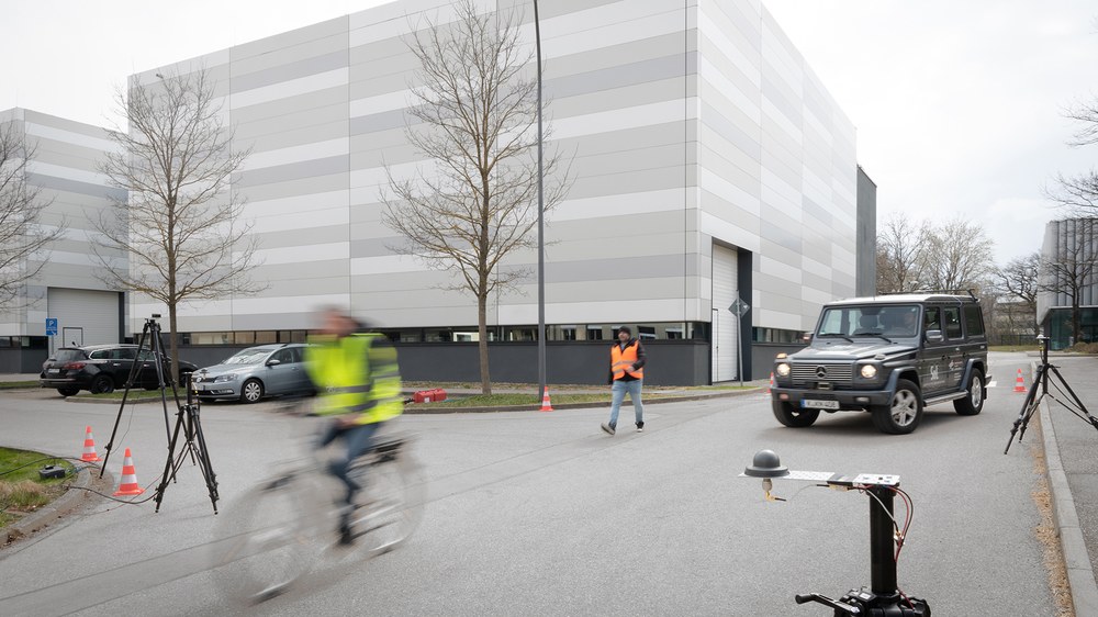
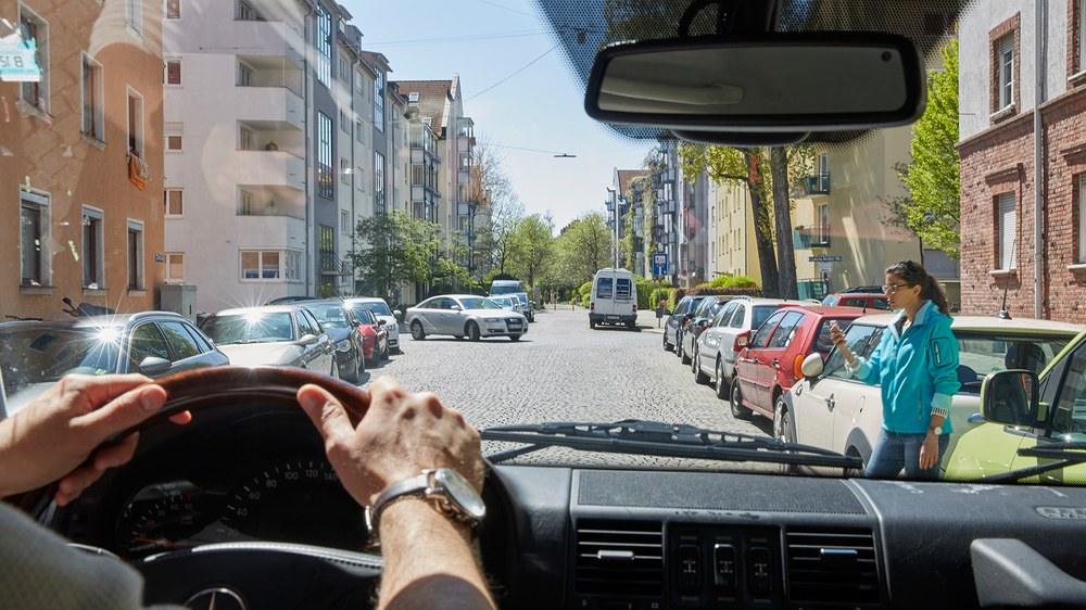
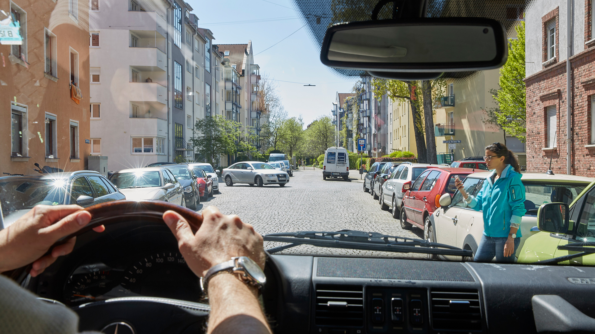
Our vision is to prevent accidents between vehicles and VRUs. Vehicle-to-Pedestrian (V2P) communication enables a crash avoidance system which protects VRUs from harm. The accidents can be avoided by informing not only the driver of the existence of a potential collision path with a VRU but also alerting the VRUs of the oncoming vehicles in order to act for their safety.
Accurate knowledge of the wireless propagation channel is essential to develop and test reliable V2P communications. Our current work is developing a wideband V2P channel model in critical crash scenarios.
eFence - Protection of non-cooperative users
With our eFence concept, we want to detect and locate road users being not equipped with any communication device. To illuminate these non-cooperative users, we use arbitrary signals emitted from communication infrastructure located along the road side, i.e. road side units (RSUs). Spanning a network of transceivers, these RSUs form a multiple-input multiple-output radar, which allows to estimate the position and velocity of the targeted users.
In our current work, we investigate an optimal signal design for the parameter estimation, and an optimal system geometry regarding target localization. Furthermore, we work on algorithms for detecting, locating, and tracking of non-cooperative users.
VRU Pedestrian - Protection via Localization
Our goal in pedestrian localization is to estimate the user’s position with only wearable devices. Among the technologies available in wearable devices, our expertise focuses in inertial sensors and magnetic sensors.
In previous work, we have developed navigation systems based on a single body-mounted sensor. These systems are based on either a foot-mounted sensor or a pocket-mounted sensor.
Our current work explores the implementation of positioning systems combining multiple body-mounted inertial sensors. We explore the combination of a pocket-mounted and a foot-mounted sensor.
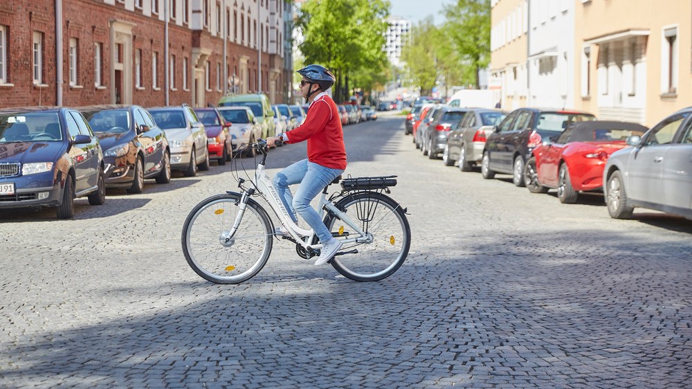
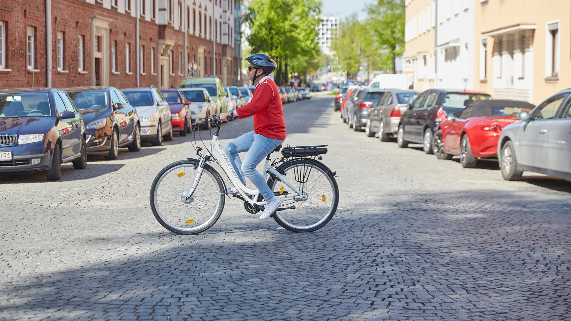
VRU Bicycle - Protection via Localization
Our goal in bicycle localization is to estimate the user’s position based on wearable devices embedded in the clothes and smartphone. As wearables we will make use of low-cost and size-reduced inertial and magnetic sensors. From the smartphone we take the Global Navigation Satellite Systems measurements.
Our current work focuses on developing a ubiquitous navigation system centred in the user that allows her to navigate from origin to destination seamlessly taking different transportation systems such as bicycle, car sharing and public transport and, last but not least, walking.
VRU Localization - Collaborative Mapping
In pedestrian navigation it is possible to learn the map of the environment simultaneously with a simultaneous localization and mapping (SLAM) algorithm. At DLR-KN, a SLAM algorithm especially designed for pedestrian navigation solely based on inertial measurements is developed which is called FootSLAM. This algorithm is further extended for collaboratively learning the map of the environment (FeetSLAM). The objective of collaborative mapping is that data from many walks can be combined to generate a more accurate and more encompassing total map. We have implemented an iterative processing algorithm motivated by Turbo Decoding from channel coding theory that takes maps from one data set as prior maps for other data sets. With a collaboratively learned prior map the position accuracy can be enhanced to be below 0.5 meters.
Vehicle Localization
Future advanced driver assistance systems require an accurate and up-to-date picture of the surrounding environment for applications such as forward collision assistants or adaptive cruise control. Today, the relative position of other vehicles with respect to the ego-vehicle is obtained with on-board ranging sensors. Radar sensors, laser scanners and cameras make it possible to detect and track surrounding vehicles, cyclists or pedestrians. These sensors, however, have some important limitations. On-board ranging sensors have a limited perception range and field of view and are easily obstructed by other vehicles.
By adding communication capabilities to future vehicles, cooperative approaches can offer a complementary source of relative position information.
Fußgänger als verletzliche Verkehrsteilnehmer
Die Kommunikation zwischen Fahrzeugen und Fußgängern (V2P) ermöglicht ein System zur Vermeidung von Unfällen, das die Verkehrsteilnehmer schützt. Ziel bei der Fußgängerlokalisierung ist es, die Position des Nutzers nur mit tragbaren Geräten zu bestimmen.
Unser Ziel bei der Lokalisierung von Fahrrädern ist es, die Position des Benutzers auf der Grundlage von tragbaren Geräten zu schätzen, die in die Kleidung und das Smartphone integriert sind.

