Maritime Security and Navigation

All-weather capability is also an important issue in shipping. Added to this is the growing complexity of the manoeuvres of ever larger and more numerous ships, especially in harbours and narrow channels. In contrast to aviation, ships and their surroundings are subject to massive reflections, which make position estimation more difficult. This can lead to situations in which reliable positioning with satellite signals alone is no longer possible. Nevertheless, the captain and pilot always need reliable information. The Institute is therefore working on localisation methods that incorporate other sensors in order to improve position accuracy and obtain error bounds. This work represents an important contribution to standardisation at the International Maritime Organisation (IMO).

Positions are already communicated to ships travelling in the vicinity, but these are not always reliable. The institute is therefore working on synchronisation procedures with radar signals. This means that even unequipped ships and other obstacles can be detected and integrated into a situation picture of the waterway and traffic, which can then be compared with other ships. To this end, a standard is being developed with partners - including the US Coast Guard - for communication between ships and the coast, as well as via satellite.

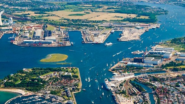
An important testing ground for trialling our technologies under real operating conditions is the Baltic Sea with the Forschungshafen Rostock and the first worldwide testing ground for trialling R-Mode technology.

Projects from the topic area

Links and more information