In the joint project "Strengthening infrastructure management: rural areas - accident prevention through digitalisation and auditing of the road - example of the B179 in the Dahme-Spreewald/Brandenburg district", the German Road Safety Council (DVR) and the German Aerospace Center (DLR) are monitoring and analysing traffic on the B179 federal road with a second measurement at the end of September.
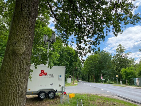
This is to take place from 25 September 2023 at the entrance to Bestensee (corner of Beethovenstraße) and will expand the existing traffic data. Claudia Leschik, project manager at DLR, explains: "While the first measurement looked at interaction behaviour at a junction, the focus is now on road users entering a built-up area."
The data collection during the first measurement in July was successful and the researchers collected informative traffic data. They evaluated this data in August and were thus able to analyse traffic patterns in rural areas. Among other things, the researchers discovered that the highest volume of traffic during the week was on Sunday afternoons. The cameras also observed critical situations when turning or overtaking, particularly by motorcyclists.
The results are also helpful in determining the requirements for automated driving functions in rural areas. At the same time, Andrea Kulpe-Winkler from the DVR carried out an inventory audit of the measurement site.
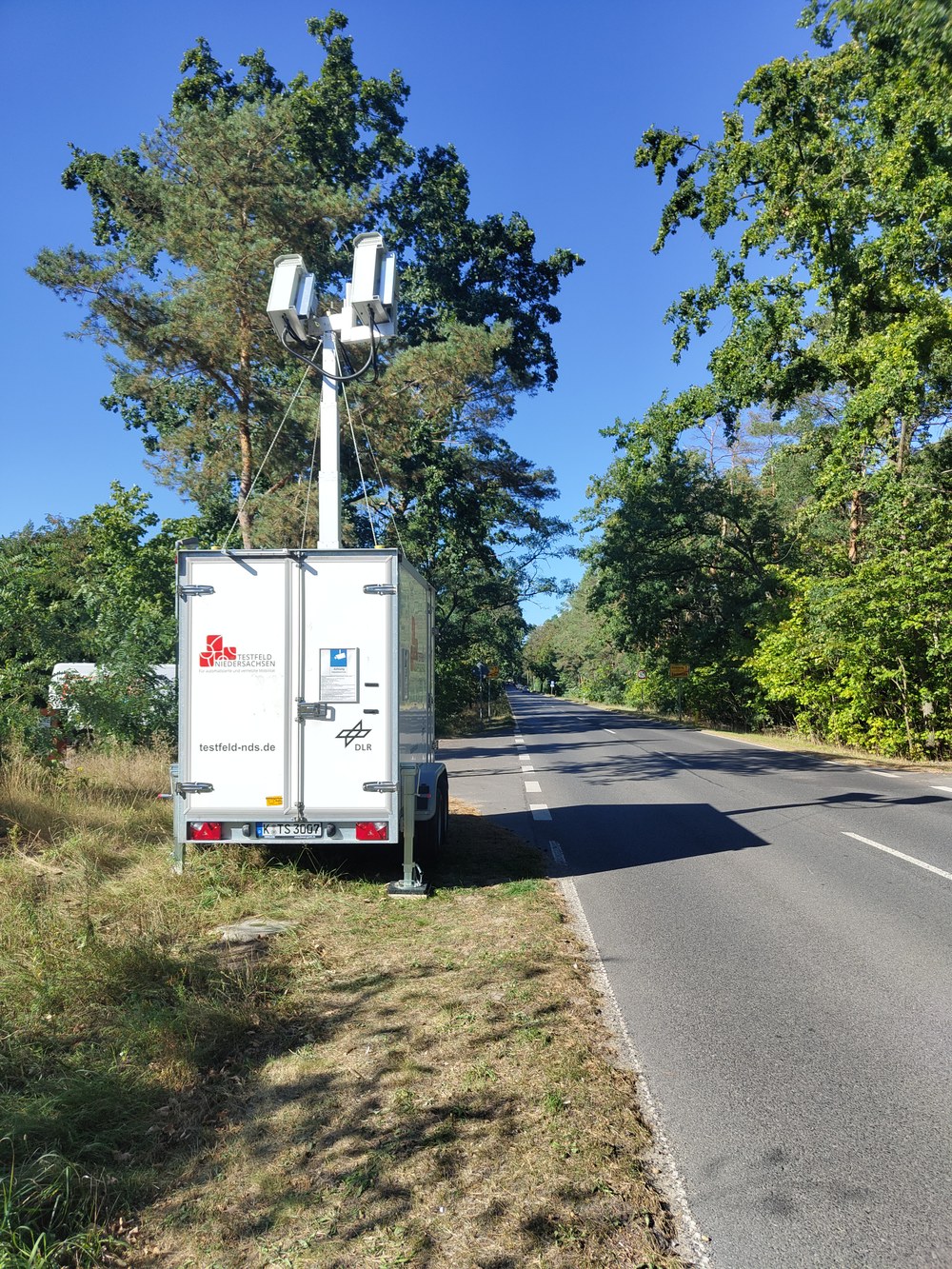
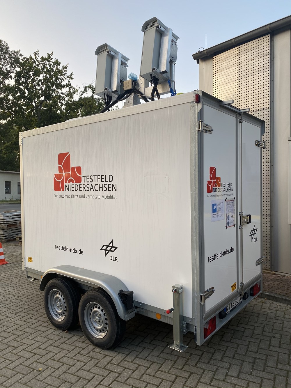
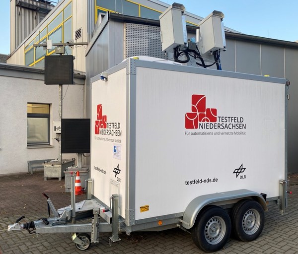
The DLR is supporting the DVR in identifying and deriving measures to increase road safety in the study area, where the scientists from the DLR Institute of Transportation Systems are carrying out the data collection. At the beginning of July, the project team set up a measuring trailer next to the B179 (corner of Gräbendorfer Weg) to collect anonymised movement paths of road users (so-called trajectories) over a period of two weeks. For the traffic analyses, the researchers look at the time stamps and positions of road users, among other things. They also create downscaled augmented scene videos, which can be used to check the plausibility of the measurements in the analysis. High-resolution images are processed and discarded immediately. The system has a GDPR-compliant data protection concept. Neither licence plate numbers nor faces are stored.
Details of the measurement period:
Date: Monday, 25.09.2023, until Sunday, 08.10.2023 (set-up and dismantling before and after) Measurement location: B179 at the entrance to Bestensee (corner of Beethovenstraße)
Test bed Lower Saxony Trailer for measuring the data.