Friday, 21 February – Thursday, 27 February 2020
Back to the Cape of Good Hope
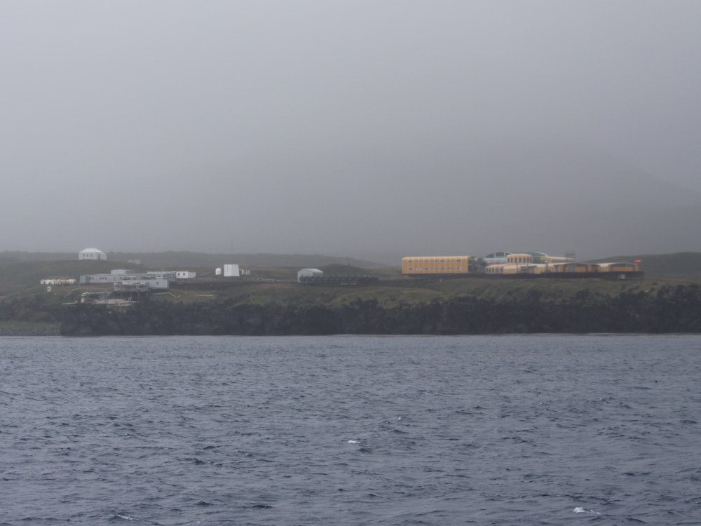
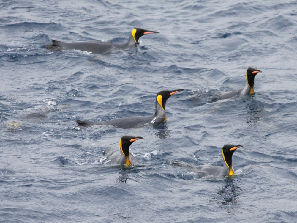
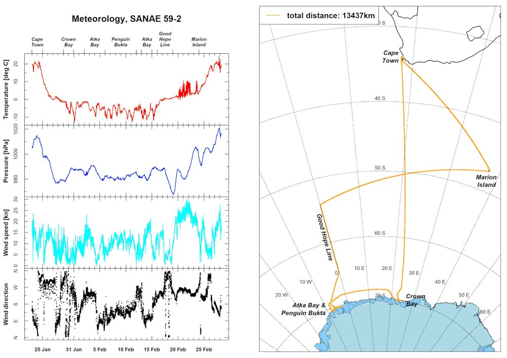
After the final science activities were concluded at the Good Hope Line we headed directly to Marion Island, a remote isle in the Indian Ocean at 46.7°S and 37.8°E. With the wind continuously pushing us from behind S.A. Agulhas II could swiftly reach the last station in tune with the regular rhythm of the waves. Then on the morning of 24 Feb. 2020 an unaccustomed view came into sight: black lava rock instead of shelf ice, deep rich green instead of endless white. And instead of individual emperor or Adélie penguins, hundreds of curious king penguins were having a close look at the ship.
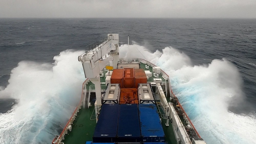
The time for the several days' crossing from the Good Hope Line to Marion Island and then on to Cape Town was used for presentations in various fields of science. I, too, could also present, despite rough seas, the results and the quite impressive examples of using remote sensing data during parts of the S.A. Agulhas II journey through sea ice. In a concluding discussion the captain again emphasized that he had used throughout the entire trip the data made available, and that the Sentinel-1 data products had definite advantages compared with the material in existing portals.
Wind and waves, sunshine and snowfall, bitterly cold Antarctic east winds and mild South African ocean breezes, it was all part of the more than 13,400 km S.A. Agulhas II expedition in the Atlantic and Indian Oceans. Nevertheless, given this distance and 39 days on board one could imagine that sooner or later things would get boring, especially since the activity range was limited to a length of 134 m and a width of 22 m. But there were always opportunities for new impressions and conversations with fellow passengers during the evening meals or in the bar. Moreover, thanks to a good internet connection we were always in contact with family and friends. And despite all the comforts of a modern expedition ship, time did not simply fly by on the trip, fortunately, but instead offered a uniquely intensive professional and personal experience from which I and my fellow passengers will surely benefit for a long while yet.
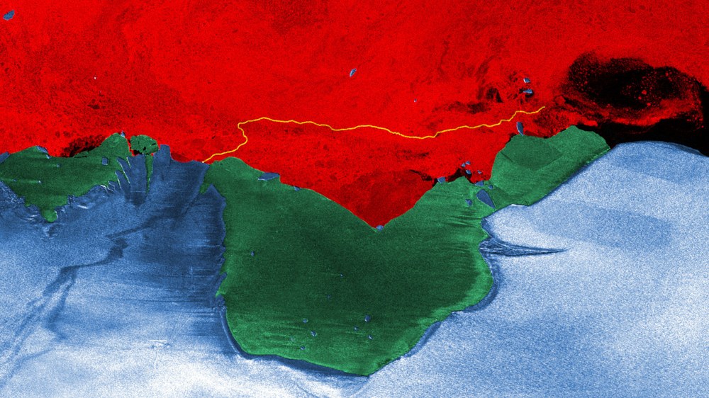
I want to conclude this blog with a hearty thank you in the form of a pictorial greeting to our South African organisers, hosts and colleagues whom I was privileged to meet during my trip on S.A. Agulhas II. The TSX image created using the colours of the national flag shows the area around Atka Bay on 30 Dec. 2019. The ice shelf and icebergs are blue, green areas indicate the closed sea ice cover in Atka Bay, and the sea ice drifting with the wind and ocean currents is red. The route of S.A. Agulhas II as it worked its way for many hours through sea ice to get to the northern jetty of Neumayer-Station III can be readily recognized by the yellow line.

