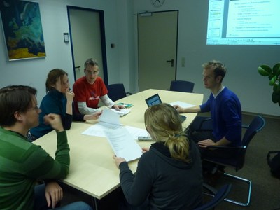
Team: Center for Satellite Based Crisis Information (ZKI)
The German Remote Sensing Data Center (DFD) provides in the Center for Satellite-based Crisis Information (ZKI) a service which makes available remote sensing data and derived information to a wide range of users. This platform links the research and development activities undertaken by the Geo-Risks and Civil Security department with users of the resulting data products. This interface makes it possible to test methods which are ready for application, to prepare them for routine operations, and, as needed, to expand them into a permanent service. The experience gained here can in turn flow back into research activities and be used there to optimize algorithms and processes.
The standardized cartographic service, which presently includes “Offline Mapping” and “Rapid Mapping” and is the focus of current ZKI activities, is to be further expanded. The goal is to extend the portfolio to include other aspects of the disaster cycle, for example by offering an automated fire service.
In order to achieve this goal, a working group has been established to handle the optimization of the services’ internal processes, especially the realization of routine operations. The potential for additional services will also be investigated and their implementation furthered. Synergy effects among the department’s teams will be exploited and the extension of a customer-oriented service portfolio jointly expedited.
Core tasks are better structuring the necessary decision-making process, laying the groundwork for coordinated decisions, and supporting their realization.

