Team: Traffic Monitoring
The traffic monitoring team deals with scientific issues in the field of automatic image analysis for various traffic applications and also for real-time applications for disasters and major events.
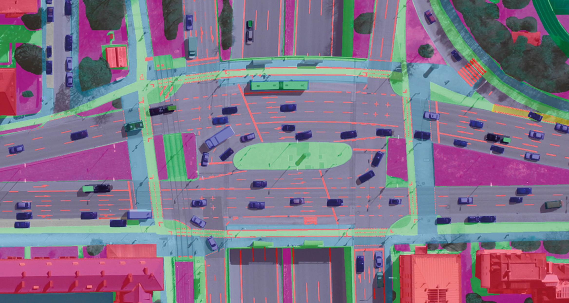
Typical applications from the traffic sector are the detection of moving and static objects from remote sensing data, such as vehicle detection and vehicle tracking in image sequences, monitoring of crowded public spaces as well as the area-based segmentation of traffic areas, for example to distinguish between footpaths and cycle paths. For this purpose, both the latest AI-based algorithms are developed and highly accurate benchmark data sets are created, which are made available to the public for training and validating own methods.
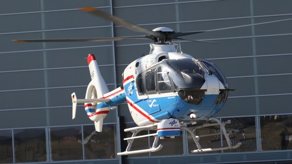
In the traffic monitoring team, complete systems and process chains including hardware and software are developed. This enables seamless image processing from the image acquisition to the transfer of the evaluation results. The data is usually recorded during flight campaigns with self-developed sensor systems on aircraft, helicopters or UAVs. Especially the airborne optical 3K and 4k camera systems with their high-rate and high resolution serial images enable a fast recording of large areas as well as an immediate further processing, evaluation and provision of the data. In the past, both current aerial images and information derived from them on traffic or the condition of roads and buildings were able to support authorities and organisations with security tasks (BOS) during disasters and major events, e.g. during disaster and civil defense exercises on forest fires, landslides and flood monitoring missions in Germany, Cyprus, Spain, and Austria.
With the help of the results of the automated process chains, further transport science topics are being worked on, such as the improvement of micro- and macroscopic traffic models MoDa project), the improvement of land transport emission estimation (3LK project), the estimation of charging requirements of road passenger and freight transport, and the improvement of ego-localisation of road users with the help of aerial image data (Act4Transformation project).
Links


