
ACT4Transformation
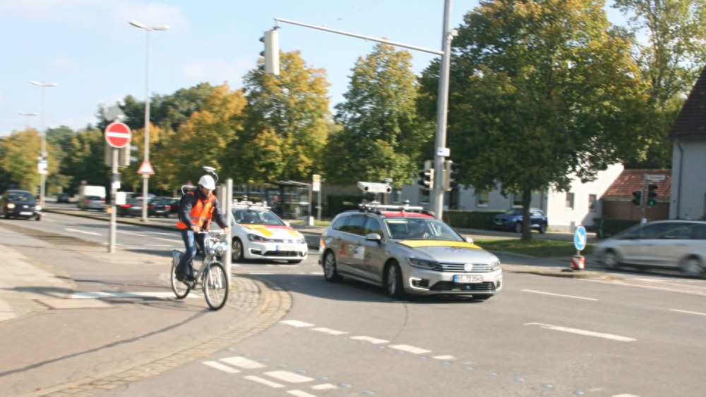
ACT4Transformation enhances traffic safety and efficiency for automated and connected vehicles by enabling dynamic interaction between vehicles, infrastructure and remote operations. Depending on the situation, the infrastructure or remote operation supports or takes over functions such as environment perception and movement planning.

Our contribution includes the definition of the operational domain for the target autonomous vehicles in the project and the extraction of relevant information from aerial imagery. We extend the multimodal dataset of the KoKoVI project with new measurement campaigns and generate maps to be used for vehicle navigation.
We also develop a vision-based ego-localization method for vehicles and furthermore AI-driven algorithms for the detection and tracking of dynamic objects such as vehicles and pedestrians in aerial imagery.